2020s Maps of Hodgeman County, Kansas
Explore 24 historic maps of Hodgeman County from the 2020s. These maps offer a rare glimpse into what life looked like during the 2020s — showing old roads, neighborhoods, homes, and landmarks that have changed or disappeared over time.
Whether you're researching your family's past, planning a metal detecting trip, or studying how Hodgeman County's landscape evolved across the 2020s, these high-resolution maps are a powerful tool for exploring the history of this region.
- Focus on a specific era: All maps on this page are from the 2020s, giving you a focused view of this time period.
- See what’s changed: Compare century-old streets, trails, and buildings to today's modern landscape using overlays and satellite layers.
- Research with precision: Use these maps for genealogy, historical research, land use analysis, or educational projects.
- View, download, or print: Maps are fully viewable online in high resolution, and can be downloaded or printed for your own records.
Start exploring Hodgeman County's history through authentic maps from the 2020s. This is your window into the past.
Hodgeman County, KS maps
(24)- 2022 Map of Dodge City NE, 2022 Print
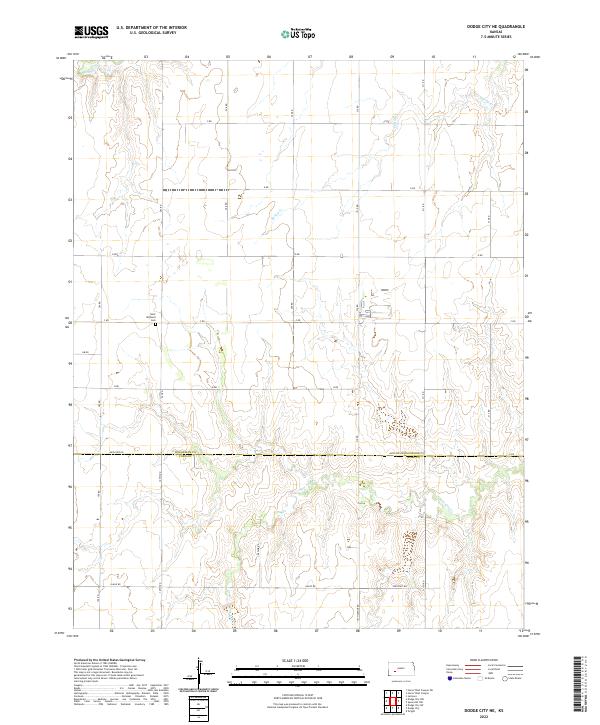 2022 Dodge City NE2022 Print · USGSHigh Plains agriculture and county-line boundaries define this rural landscape north of Dodge City in the early 2020s. Genealogists can locate Saint Michaels Cem or trace the paths of Saw Log Cr and Buckner Cr through the local sections.
 - 2022 Map of Spearville NW, 2022 Print
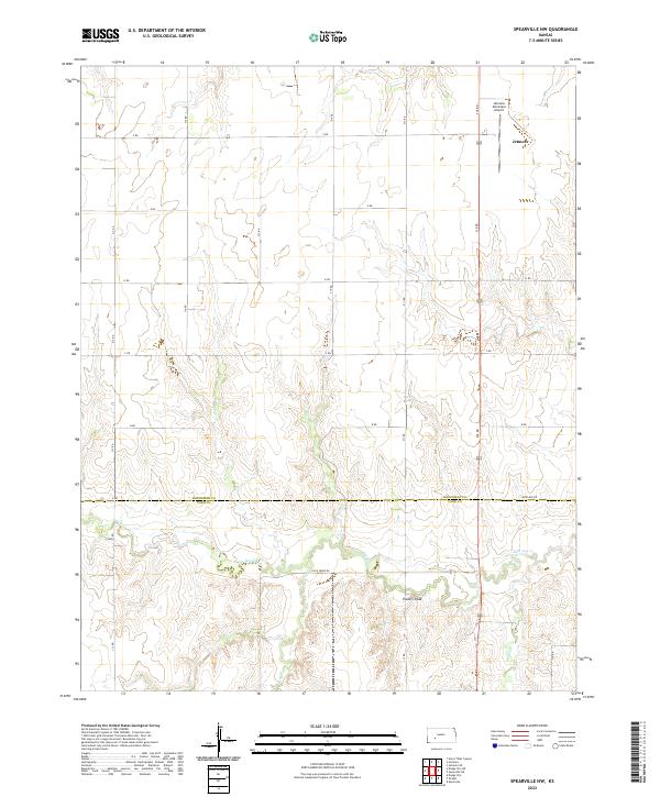 2022 Spearville NW2022 Print · USGSWestern Kansas at the turn of the 2020s shows the enduring grid of the high plains where Hodgeman and Ford counties meet. Genealogists and local historians can trace rural routes to Jetmore, locate Pullers Peak, and follow the banks of Saw Log Cr.
 - 2022 Map of Offerle, 2022 Print
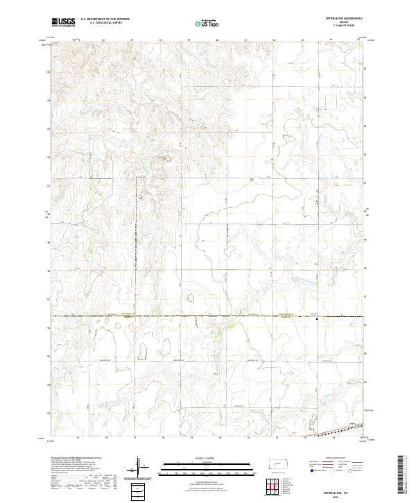
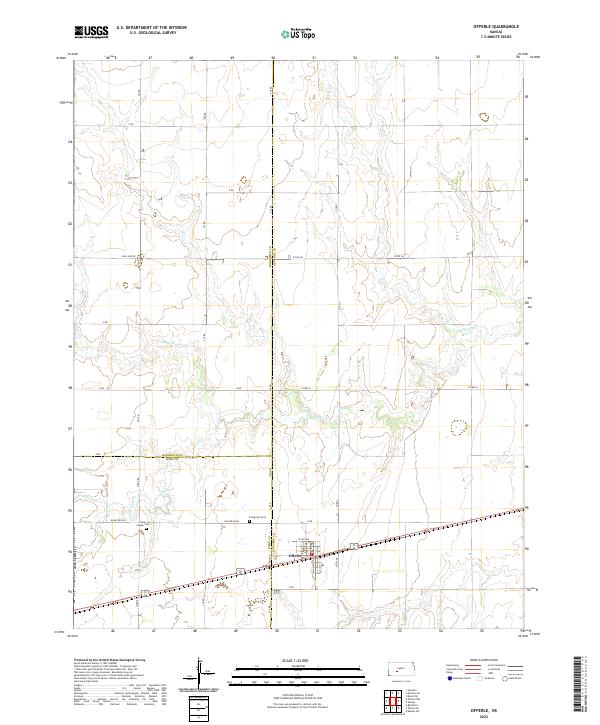 2022 Offerle2022 Print · USGSThe rural plains of western Kansas are documented here in the early twenty-first century, centered on the tri-county junction of Edwards, Ford, and Hodgeman. Genealogists and local researchers can trace family roots at Saint-Joseph Cem and Evergreen Cem or follow the drainage of Little Coon Creek.
 - 2022 Map of Dodge City NW, 2022 Print
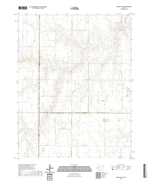 2022 Dodge City NW2022 Print · USGSThe intersection of Gray, Hodgeman, and Ford counties in western Kansas comes into focus in this early twenty-first-century survey. Genealogists and local historians can trace the landscape via Buckner Creek and landmarks like Community Hall Rd and Backtrail Rd.
 - 2022 Map of Offerle NW, 2022 Print
 2022 Offerle NW2022 Print · USGSThe high plains of the Hodgeman and Ford county line are captured here in the early twenty-first century, showing a landscape of deep-rooted agricultural tradition. Genealogists and local historians can locate Old Saint Joseph Cem and trace the paths of White Woman Cr and Backtrail Rd.
 - 2022 Map of Spearville NE, 2022 Print
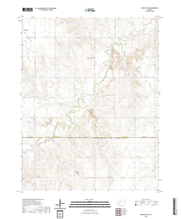 2022 Spearville NE2022 Print · USGSThe Kansas high plains on the Hodgeman and Ford county line are captured here in the early twenty-first century. Researchers can trace rural property access and water drainage along Saw Log Cr and follow regional thoroughfares like Antelope Rd.
 - 2022 Map of Jetmore SE, 2022 Print
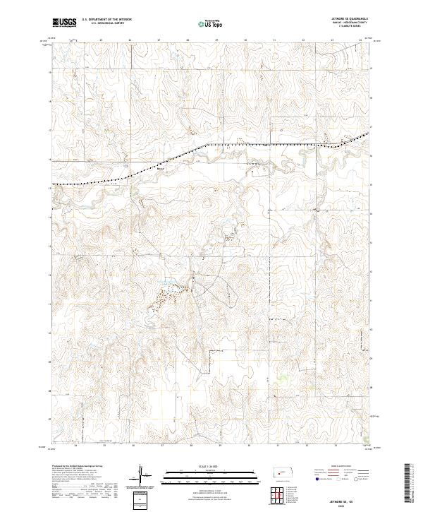 2022 Jetmore SE2022 Print · USGSHodgeman County in the early 2020s remains a landscape of structured ranching and prairie conservation. Researchers can trace the drainage of Buckner Cr and the rural community at Bosse alongside the Hodgeman County State Lake.
 - 2022 Map of Hanston, 2022 Print
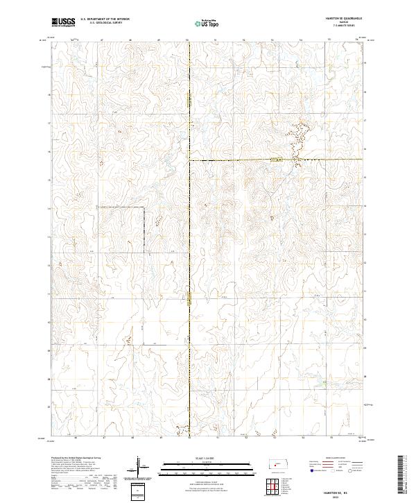
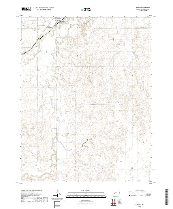 2022 Hanston2022 Print · USGSWestern Kansas at the start of the 2020s shows a landscape defined by small-town life and rural industry. Genealogists and local historians can trace the foundations of Hanston and Orwell or locate family sites near Saint Anthony Cem and Buckner Cr.
 - 2022 Map of Burdett, 2022 Print
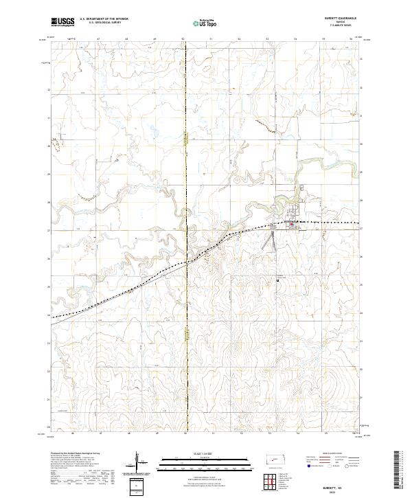 2022 Burdett2022 Print · USGSBurdett and the surrounding plains of Pawnee County are captured here during the early twenty-first century. Genealogists and local historians can trace the town's layout and locate Browns Grove Cem or follow the paths of the Pawnee River and Buckner Cr.
 - 2022 Map of Jetmore, 2022 Print
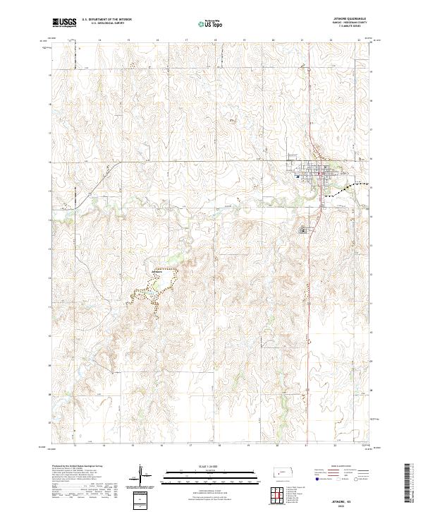 2022 Jetmore2022 Print · USGSThe county seat of Jetmore is shown in detail during the early 2020s, highlighting the intersection of rural agriculture and civic life. Genealogists and local historians can locate the Hodgeman County Courthouse, trace the grounds of Fairmount Cem, and follow the banks of Buckner Cr.
 - 2022 Map of Beeler SE, 2022 Print
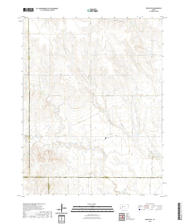
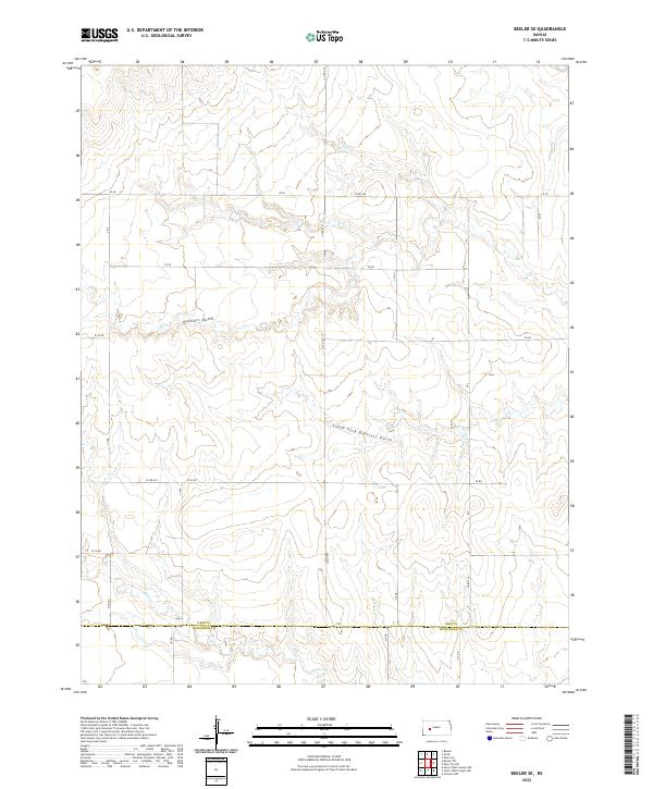 2022 Beeler SE2022 Print · USGSThe rural expanse of the Kansas plains is captured here in the early 2020s, highlighting the precise grid of section-line roads and natural watercourses. Researchers can trace the path of Plum Cr and the drainage of Guzzlers Gulch along the border of Ness Co Hodgeman Co.
 - 2022 Map of Horse Thief Canyon, 2022 Print
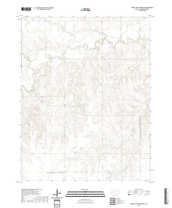
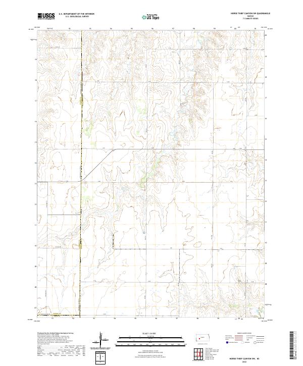
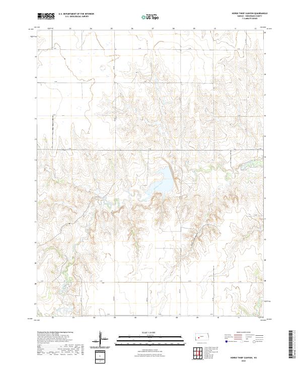 2022 Horse Thief Canyon2022 Print · USGSCentral Hodgeman County is shown here in the 2020s, dominated by the winding path of Buckner Creek. Researchers can trace the section-line roads and the distinct topography of Horse Thief Canyon or the seasonal flow of Spring Cr.
 - 2022 Map of Bazine SE, 2022 Print
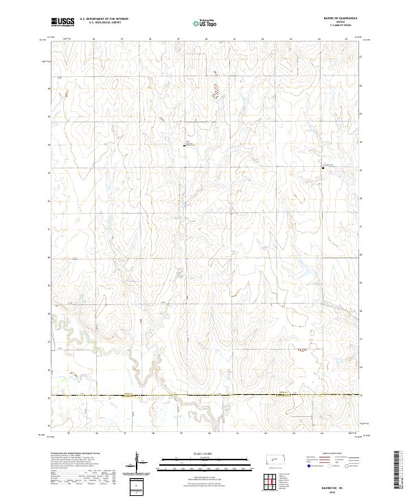
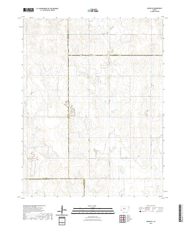 2022 Bazine SE2022 Print · USGSThis rural Kansas landscape at the meeting of Ness, Rush, Pawnee, and Hodgeman counties reveals the precision of Great Plains land surveying. Researchers can trace boundary lines and section-line roads like Alexander Rd, Y Rd, and the distinct Correction Line Rd.
 - 2022 Map of Hanston SE, 2022 Print
 2022 Hanston SE2022 Print · USGSThe intersection of Hodgeman, Pawnee, and Edwards Counties is captured here in the early twenty-first century. Genealogists and local historians can trace property boundaries and rural travel routes along Sawmill Cr, CO RD 6, and 234 RD.
 - 2022 Map of Horse Thief Canyon NW, 2022 Print
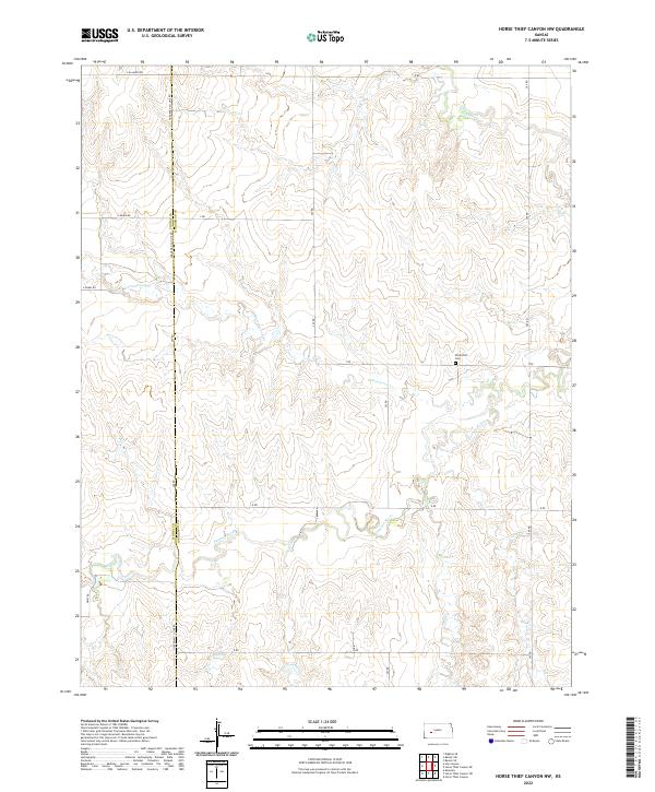 2022 Horse Thief Canyon NW2022 Print · USGSHodgeman County's rural plains are documented here in the early twenty-first century, showing the area's traditional section roads and waterways. Researchers can locate the Kitterville Cemetery or trace the winding course of the Pawnee River and Cottonwood Creek.
 - 2022 Map of Beeler SW, 2022 Print
 2022 Beeler SW2022 Print · USGSWestern Kansas prairie lands are meticulously mapped in this early twenty-first-century survey, showing the intricate drainages of the High Plains. Genealogists and local historians can locate Buda Cem and trace the paths of Hackberry Cr and Guzzlers Gulch.
 - 2022 Map of Horse Thief Canyon NE, 2022 Print
 2022 Horse Thief Canyon NE2022 Print · USGSHodgeman County land patterns are preserved here in the twenty-first century, showcasing the persistent grid of the Kansas high plains. Genealogists and researchers can trace property boundaries along the Pawnee River and rural routes like X Rd or NW 212 Rd.
 - 2022 Map of Ness City SW, 2022 Print
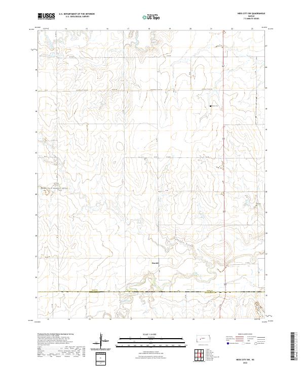 2022 Ness City SW2022 Print · USGSNess County and northern Hodgeman County are captured here in the early twenty-first century, showing a landscape defined by the Pawnee River. Genealogists and local historians can locate the community of Harold and the rural Kunze Cem among the prairie draws.
 - 2022 Map of Jetmore NE, 2022 Print
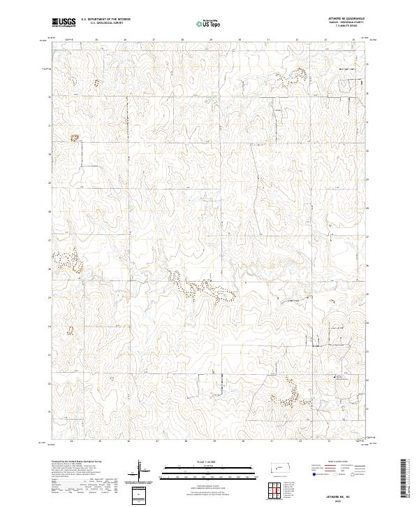 2022 Jetmore NE2022 Print · USGSHodgeman County is shown in its contemporary agricultural state, where the grid of section roads defines the high plains landscape. Genealogists can locate the Hanston Mennonite Cem while tracing the paths of Sand Cr and Dry Cr.
 - 2022 Map of Ness City SE, 2022 Print
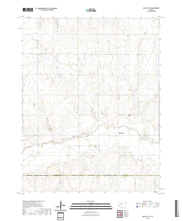 2022 Ness City SE2022 Print · USGSThe borderlands of Ness and Hodgeman Counties come into focus in 2022, centered on the winding Pawnee River. Researchers can trace the rural landscape near Riverside and the Riverside Cem amidst an extensive network of sectional roads.
 - 2022 Map of Horse Thief Canyon SW, 2022 Print
 2022 Horse Thief Canyon SW2022 Print · USGSThe rural borders of Hodgeman, Finney, and Gray counties are captured here in the early twenty-first century. Genealogists and local historians can trace the precise section lines and rural routes such as N Woods Rd, E Oyler Rd, and the meandering Sand Creek.
 - 2022 Map of Hanston NW, 2022 Print
 2022 Hanston NW2022 Print · USGSHodgeman County at the turn of the 21st century shows a landscape defined by its prairie waterways and the steady grid of section roads. Researchers can trace family history through the Hanston Cem and the settlement at Hanston, or follow the winding paths of the Pawnee River and Buckner Cr.
 - 2022 Map of Jetmore NW, 2022 Print
 2022 Jetmore NW2022 Print · USGSWestern Kansas rangeland and the Pawnee River valley are preserved here in this 2022 survey of Hodgeman County. Genealogists and land researchers can trace property boundaries along the section lines of T21S R24W or follow the paths of Cottonwood Cr and Dry Cr.
 - 2022 Map of Bazine SW, 2022 Print
 2022 Bazine SW2022 Print · USGSThe border of Ness and Hodgeman counties is captured here in the early twenty-first century, showcasing the traditional Kansas section-line grid. Genealogists and local historians can locate rural burial sites such as Saint John the Baptist Cem and Crandall Cem along the Pawnee River.
End of results
Showing maps 1-24 of 24
Top cities of Hodgeman County
Frequently asked questions
- What are the different types of historical maps available for Hodgeman County?
- What is the oldest map of Hodgeman County?
- Where can I purchase historical maps of Hodgeman County for my home or office?
- Where can I download high-res historical maps of Hodgeman County?
- Are there historical topographic maps available for Hodgeman County?
- Is there historical aerial imagery available for Hodgeman County?
- Where are historical maps of Hodgeman County sourced from?