Old Maps of Labette County, Kansas for Academic Research
Study the evolution of Labette County with 80 high-resolution historic maps. Whether you're teaching, researching, or modeling changes in land use, these maps provide essential visual documentation of urban, environmental, and geographic change.
- Analyze long-term change: Track patterns in development, transportation, and natural features.
- Ideal for environmental or urban studies: Support academic projects with primary historical map data.
- Use in the classroom or lab: Educators and researchers rely on these maps to bring historical context to life.
These maps are a powerful tool for teaching, research, and visualizing how Labette County has changed over the decades.
Labette County, KS maps
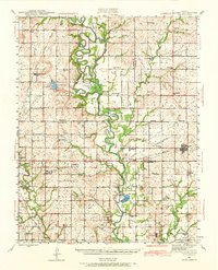
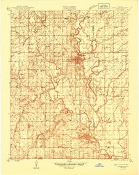
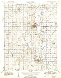
(80)- 1886 Map of Independence
 1886 Independence1886 Print · USGSCovers Labette County, including Parsons, Coffeyville, and other nearby areas
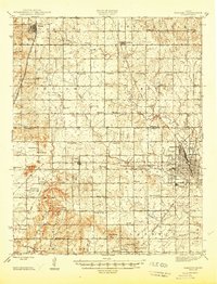
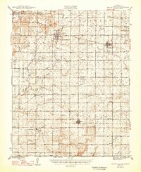
 - 1886 Map of Parsons
 1886 Parsons1886 Print · USGSCovers Labette County, including Parsons, Oswego, and other nearby areas
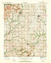
 - 1893 Map of Parsons
 1893 Parsons1893 Print · USGSCovers Labette County, including Parsons, Oswego, and other nearby areas4 unique versions available
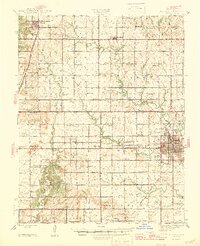
 - 1894 Map of Independence
 1894 Independence1894 Print · USGSCovers Labette County, including Parsons, Coffeyville, and other nearby areas
 - 1901 Map of Nowata
 1901 Nowata1901 Print · USGSCovers Labette County, including Bartlesville, Nowata, and other nearby areas2 unique versions available
 - 1901 Map of Vinita
 1901 Vinita1901 Print · USGSCovers Labette County, including Vinita, Chelsea, and other nearby areas2 unique versions available
 - 1905 Map of Independence
 1905 Independence1905 Print · USGSCovers Labette County, including Parsons, Coffeyville, and other nearby areas4 unique versions available
 - 1913 Map of Vinita
 1913 Vinita1913 Print · USGSCovers Labette County, including Vinita, Chelsea, and other nearby areas3 unique versions available
 - 1914 Map of Nowata
 1914 Nowata1914 Print · USGSCovers Labette County, including Bartlesville, Nowata, and other nearby areas5 unique versions available
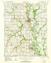
 - 1943 Map of McCune, 1968 Print
 1943 McCune1968 Print · USGSCovers Labette County, including Parsons, McCune, and other nearby areas
 - 1944 Map of Oswego, 1970 Print
 1944 Oswego1970 Print · USGSCovers Labette County, including Oswego, Chetopa, and other nearby areas
 - 1945 Map of Mc Cune
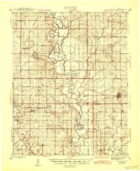 1945 Mc Cune1945 Print · USGSCovers Labette County, including Parsons, McCune, and other nearby areas2 unique versions available
 - 1945 Map of Parsons, 1956 Print
 1945 Parsons1956 Print · USGSCovers Labette County, including Parsons, Thayer, and other nearby areas
 - 1946 Map of Oswego
 1946 Oswego1946 Print · USGSCovers Labette County, including Oswego, Chetopa, and other nearby areas
 - 1946 Map of Parsons
 1946 Parsons1946 Print · USGSCovers Labette County, including Parsons, Thayer, and other nearby areas
 - 1946 Map of Mound Valley, 1965 Print
 1946 Mound Valley1965 Print · USGSCovers Labette County, including Altamont, Edna, and other nearby areas
 - 1947 Map of Parsons
 1947 Parsons1947 Print · USGSCovers Labette County, including Parsons, Thayer, and other nearby areas2 unique versions available
 - 1947 Map of Joplin, 1954 Print
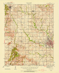
 1947 Joplin1954 Print · USGSCovers Labette County, including Joplin, Pittsburg, and other nearby areas
 - 1948 Map of Oswego
 1948 Oswego1948 Print · USGSCovers Labette County, including Oswego, Chetopa, and other nearby areas3 unique versions available
 - 1948 Map of Mound Valley
 1948 Mound Valley1948 Print · USGSCovers Labette County, including Altamont, Edna, and other nearby areas2 unique versions available
 - 1949 Map of Joplin
 1949 Joplin1949 Print · USGSCovers Labette County, including Joplin, Pittsburg, and other nearby areas
 - 1954 Map of Tulsa
 1954 Tulsa1954 Print · USGSCovers Labette County, including Tulsa, Broken Arrow, and other nearby areas2 unique versions available
 - 1954 Map of Joplin, 1967 Print
 1954 Joplin1967 Print · USGSCovers Labette County, including Joplin, Pittsburg, and other nearby areas3 unique versions available
 - 1958 Map of Joplin
 1958 Joplin1958 Print · USGSCovers Labette County, including Joplin, Pittsburg, and other nearby areas
 - 1958 Map of Tulsa, 1968 Print
 1958 Tulsa1968 Print · USGSCovers Labette County, including Tulsa, Broken Arrow, and other nearby areas3 unique versions available
Showing maps 1-25 of 80
Top cities of Labette County
- Parsons historical maps
- Oswego historical maps
- Chetopa historical maps
- Altamont historical maps
- Edna historical maps
- Mound Valley historical maps
See more
Frequently asked questions
- What are the different types of historical maps available for Labette County?
- What is the oldest map of Labette County?
- Where can I purchase historical maps of Labette County for my home or office?
- Where can I download high-res historical maps of Labette County?
- Are there historical topographic maps available for Labette County?
- Is there historical aerial imagery available for Labette County?
- Where are historical maps of Labette County sourced from?