2000s (21st Century) Maps of Basehor, Kansas
Explore 10 historic maps of Basehor from the 2000s (21st Century). These maps offer a rare glimpse into what life looked like during the 2000s — showing old roads, neighborhoods, homes, and landmarks that have changed or disappeared over time.
Whether you're researching your family's past, planning a metal detecting trip, or studying how Basehor's landscape evolved across the 2000s, these high-resolution maps are a powerful tool for exploring the history of this region.
- Focus on a specific era: All maps on this page are from the 2000s, giving you a focused view of this time period.
- See what’s changed: Compare century-old streets, trails, and buildings to today's modern landscape using overlays and satellite layers.
- Research with precision: Use these maps for genealogy, historical research, land use analysis, or educational projects.
- View, download, or print: Maps are fully viewable online in high resolution, and can be downloaded or printed for your own records.
Start exploring Basehor's history through authentic maps from the 2000s. This is your window into the past.
Basehor, KS maps
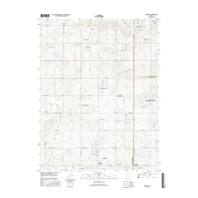
(10)- 2009 Map of Basehor, 2009 Print
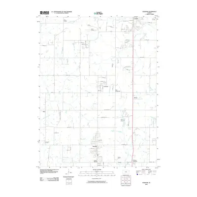 2009 Basehor2009 Print · USGSCovers Basehor, including Kansas City, Leavenworth, and other nearby areas
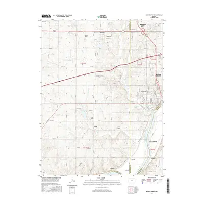
 - 2009 Map of Bonner Springs, 2009 Print
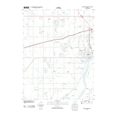 2009 Bonner Springs2009 Print · USGSCovers Basehor, including Kansas City, Shawnee, and other nearby areas
 - 2012 Map of Basehor, 2012 Print
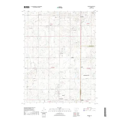
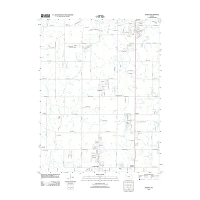 2012 Basehor2012 Print · USGSCovers Basehor, including Kansas City, Leavenworth, and other nearby areas
 - 2012 Map of Bonner Springs, 2012 Print
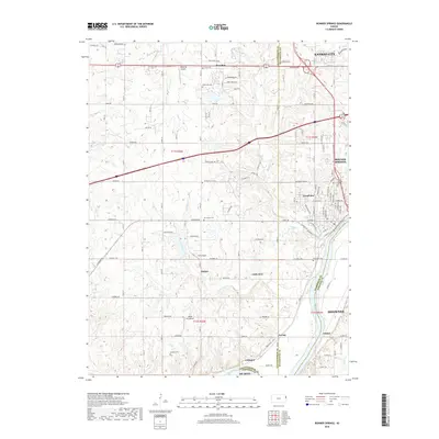
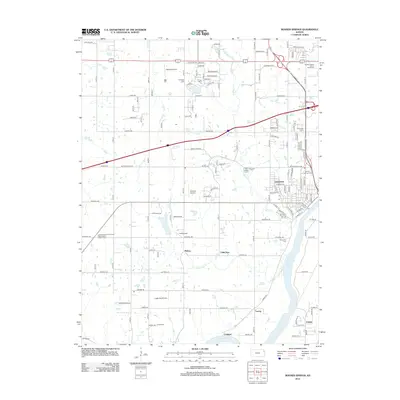 2012 Bonner Springs2012 Print · USGSCovers Basehor, including Kansas City, Shawnee, and other nearby areas
 - 2015 Map of Basehor, 2015 Print
 2015 Basehor2015 Print · USGSCovers Basehor, including Kansas City, Leavenworth, and other nearby areas
 - 2015 Map of Bonner Springs, 2015 Print
 2015 Bonner Springs2015 Print · USGSCovers Basehor, including Kansas City, Shawnee, and other nearby areas
 - 2018 Map of Bonner Springs, 2018 Print
 2018 Bonner Springs2018 Print · USGSCovers Basehor, including Kansas City, Shawnee, and other nearby areas
 - 2018 Map of Basehor, 2018 Print
 2018 Basehor2018 Print · USGSCovers Basehor, including Kansas City, Leavenworth, and other nearby areas
 - 2022 Map of Basehor, 2022 Print
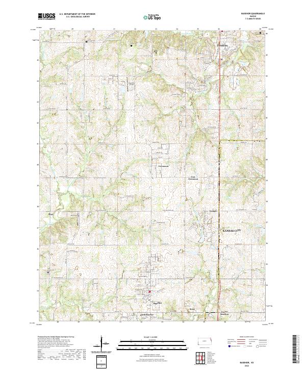 2022 Basehor2022 Print · USGSLeavenworth and Wyandotte counties meet in this modern survey of the rolling Kansas landscape. Genealogists and local historians can locate several rural burial grounds like Starns Cem and Holy Angels Cem near settlements like Fairmount and Hoge.
 - 2022 Map of Bonner Springs, 2022 Print
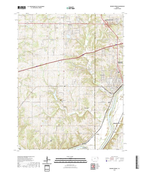 2022 Bonner Springs2022 Print · USGSThe Kansas River valley west of Kansas City appears here in its modern configuration, showing the intersection of growing suburbs and aviation history. Genealogists can trace family connections through Lenape Cem and Elm Grove Cem, or locate landmarks like Ingels Aerodrome.
End of results
Showing maps 1-10 of 10
Top cities near Basehor
- Kansas City historical maps
- Overland Park historical maps
- Kansas City historical maps
- Olathe historical maps
- Shawnee historical maps
- Lenexa historical maps
See more
Top neighborhoods of Basehor
Frequently asked questions
- What are the different types of historical maps available for Basehor?
- What is the oldest map of Basehor?
- Where can I purchase historical maps of Basehor for my home or office?
- Where can I download high-res historical maps of Basehor?
- Are there historical topographic maps available for Basehor?
- Is there historical aerial imagery available for Basehor?
- Where are historical maps of Basehor sourced from?