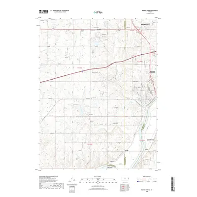
2018 Map of Bonner Springs
USGS Topo · Published 2018About this map
The Kansas River winds through the southern portion of this region, shaping the development of riverside communities like Loring, Coldspur, and Frisbie. This landscape, where the borders of Leavenworth, Wyandotte, and Johnson counties converge, illustrates a mix of established municipal centers and small rural outposts. Aviation history is particularly visible here, with multiple private flight facilities such as Hoelting Airport, Huff Airport, and the Ingels Aerodrome dotted across the plains.
Find a feature on this map
76 named features on this map. Tap any name to fly to it.
Don’t see what you’re looking for? This feature index may not catch every label — zoom into the map to look around manually.
Map Details
Editions of this 2018 Bonner Springs Map
This is the sole edition of this map. No revisions or reprints were ever made.
Other maps of this area

1885 · Lawrence
USGS Topo · 1:125,000

1886 · Oskaloosa
USGS Topo · 1:125,000

1887 · Olathe
USGS Topo · 1:125,000

1888 · Oskaloosa
USGS Topo · 1:125,000

1889 · Lawrence
USGS Topo · 1:125,000

1890 · Kansas City
USGS Topo · 1:125,000

1893 · Olathe
USGS Topo · 1:125,000

1894 · Kansas City
USGS Topo · 1:125,000

1894 · Oskaloosa
USGS Topo · 1:125,000

1934 · Bonner Springs
USGS Topo · 1:48,000