Old Maps of Linwood, Kansas for Genealogy
Trace your family roots with 27 historic maps of Linwood. These high-res maps reveal old neighborhoods, homesites, landmarks, and streets — helping you uncover where your ancestors lived and how the area evolved over time.
- Explore historic neighborhoods: Identify where your relatives may have lived in the 1800s or 1900s.
- Compare maps over time: Trace the changes in streets, buildings, and landmarks for multi-generational research.
- Perfect for genealogy & ancestry research: Used by family historians and researchers to map out lineage and migration.
These maps are an incredible resource for exploring your personal connection to Linwood's past.
Linwood, KS maps
(27)- 1885 Map of Lawrence, 1957 Print
 1885 Lawrence1957 Print · USGSEastern Kansas thrived during the mid-1880s as a vital corridor of rail-driven commerce and river valley agriculture. Genealogists and historians can trace old homesteads near the Kansas River and identify early township centers like Ottawa, Eudora, and Vinland.
 - 1886 Map of Oskaloosa, 1954 Print
 1886 Oskaloosa1954 Print · USGSEastern Kansas in the mid-1880s was a crossroads of major rail expansion and river commerce. Genealogists and historians can trace the early layouts of Oskaloosa and Valley Falls, or locate family sites near Jarbalo Mound and the Delaware River.
 - 1888 Map of Oskaloosa
 1888 Oskaloosa1888 Print · USGSNortheast Kansas in the late 1880s is captured here as a landscape defined by its river valleys and burgeoning rail towns. Researchers can trace the early footprints of Oskaloosa, Valley Falls, and Tonganoxie alongside the historic routes of the Union Pacific Railroad.
 - 1889 Map of Lawrence
 1889 Lawrence1889 Print · USGSEastern Kansas thrived as a rail-and-river hub in the late nineteenth century, as documented in this detailed survey. Genealogists can trace family roots through early settlements like Clinton, Vinland, and Eudora or locate land near the Marais Des Cygnes River.6 unique versions available
 - 1894 Map of Oskaloosa
 1894 Oskaloosa1894 Print · USGSNortheast Kansas in the late nineteenth century was a landscape of burgeoning rail towns and river commerce. Genealogists can trace family roots through early settlements like Oskaloosa, Valley Falls, and Tonganoxie before modern highways reshaped the county.6 unique versions available
 - 1947 Map of Lawrence, 1954 Print
 1947 Lawrence1954 Print · USGSEastern Kansas and western Missouri thrive in the late 1940s, showing a landscape defined by major river valleys and a dense railway network. Genealogists can trace family settlements from Lawrence to Greenwood and locate landmarks like Olathe Navy and Lake Lotawana.
 - 1950 Map of Kansas City
 1950 Kansas City1950 Print · USGSMid-century Kansas and Missouri are captured here during a period of industrial growth and shifting transportation. Genealogists and historians can trace rail lines like the Wabash RR or locate ancestral homes near the Potawatomi Indian Reservation and Horton.
 - 1950 Map of Lawrence
 1950 Lawrence1950 Print · USGSMid-century Kansas and Missouri come alive in this map of the river-valley corridors just as the interstate era was beginning. Researchers can trace the legacy of major rail lines like the Union Pacific RR and locate ancestral roots in towns from Lawrence to Harrisonville.
 - 1950 Map of Tonganoxie, 1977 Print
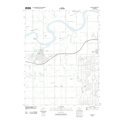
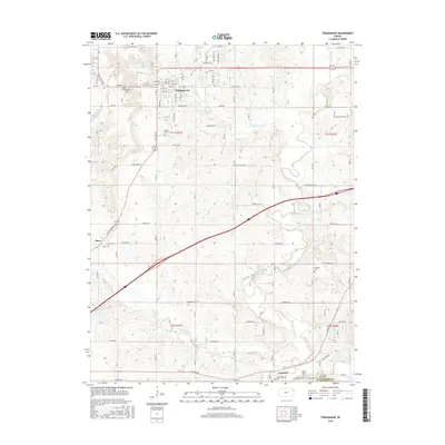
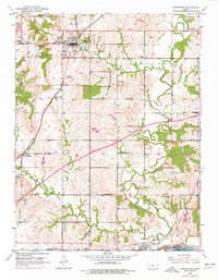 1950 Tonganoxie1977 Print · USGSEastern Leavenworth County is captured here at mid-century, just as the new turnpike began to bisect the established farm country. Researchers can trace family roots through numerous rural landmarks like Sarcoxie Cem, Hawk Hollow Sch, and the rail stop at Linwood.2 unique versions available
 - 1951 Map of Tonganoxie
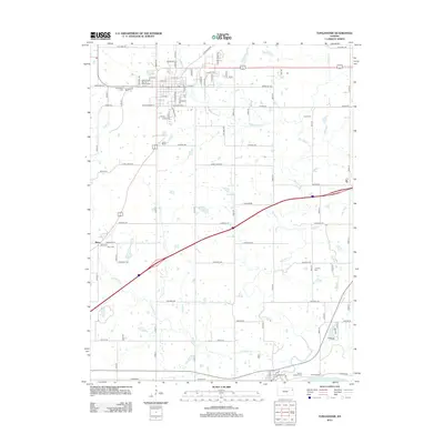
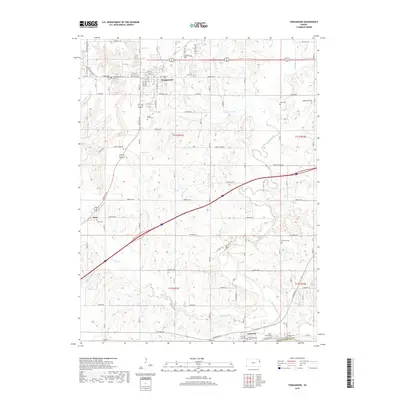
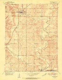 1951 Tonganoxie1951 Print · USGSLeavenworth County agriculture and rail transit are well-established in the early fifties as the rural school system remains largely intact. Researchers can pinpoint several legacy schoolhouses like Daffer Sch and Pickens Sch along with cemeteries including Tonganoxie Cem.4 unique versions available
 - 1951 Map of Eudora, 1952 Print
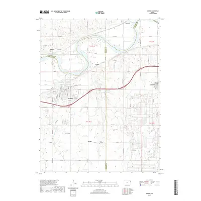
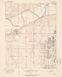 1951 Eudora1952 Print · USGSThe river-and-rail corridor at the Douglas and Johnson county line is shown here in the early fifties, just as post-war industry was firmly established. Researchers can trace the massive footprint of the Sunflower Ordnance Works and find local landmarks like Eudora Cemetery and Fall Leaf.6 unique versions available
 - 1954 Map of Kansas City
 1954 Kansas City1954 Print · USGSThe Missouri-Kansas borderlands flourished in the post-war era as river commerce and rail networks converged at the Missouri River. Genealogists and historians can trace the foundations of Kansas City and smaller rural hubs like Hiawatha or Sabetha.
 - 1956 Map of Kansas City, 1967 Print
 1956 Kansas City1967 Print · USGSThe Kansas-Missouri border region thrived during the mid-fifties, centered on the growing metropolitan cores and the busy river valleys. Researchers can trace the layout of significant government sites like Fort Leavenworth and the Lake City Army Ammunition Plant.4 unique versions available
 - 1956 Map of Lawrence, 1967 Print
 1956 Lawrence1967 Print · USGSEastern Kansas and the Missouri border country are captured here during the mid-century transition to the interstate era. Genealogists and local historians can trace family-named terrain like Summers Mound and the footprint of Sunflower Ordnance Works near Baldwin City.4 unique versions available
 - 1960 Map of Kansas City
 1960 Kansas City1960 Print · USGSMid-century Kansas and Missouri meet at the river forks, showing a sprawling rail-and-river economy during the 1950s growth era. Genealogists and researchers can trace tribal lands like the Kickapoo Indian Reservation or follow the early interstate corridors through Saint Joseph and Independence.3 unique versions available
 - 1961 Map of Lawrence
 1961 Lawrence1961 Print · USGSThe Kansas-Missouri borderland shows its mid-century transition from a rail-dependent agricultural region to a suburbanizing landscape. Genealogists can trace family footprints through numerous Cem sites and distinctive terrain landmarks like Graves Mound and Summers Mound.
 - 1983 Map of Lawrence, 1984 Print
 1983 Lawrence1984 Print · USGSEastern Kansas in the early eighties shows a landscape of growing reservoirs and historic rail towns. Genealogists and historians can trace routes through Topeka and Ottawa, or locate smaller sites like Highland Cem and the settlement of Vassar.
 - 2009 Map of Tonganoxie, 2009 Print
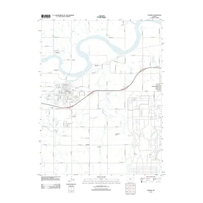
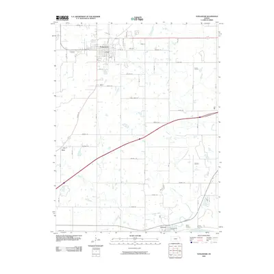 2009 Tonganoxie2009 Print · USGSCovers Linwood, including Tonganoxie, Reno, and other nearby areas
 - 2009 Map of Eudora, 2009 Print
 2009 Eudora2009 Print · USGSCovers Linwood, including De Soto, Eudora, and other nearby areas
 - 2012 Map of Tonganoxie, 2012 Print
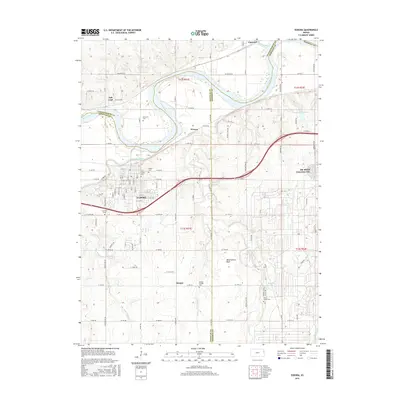
 2012 Tonganoxie2012 Print · USGSCovers Linwood, including Tonganoxie, Reno, and other nearby areas
 - 2012 Map of Eudora, 2012 Print
 2012 Eudora2012 Print · USGSCovers Linwood, including De Soto, Eudora, and other nearby areas
 - 2015 Map of Eudora, 2015 Print
 2015 Eudora2015 Print · USGSCovers Linwood, including De Soto, Eudora, and other nearby areas
 - 2016 Map of Tonganoxie, 2016 Print
 2016 Tonganoxie2016 Print · USGSCovers Linwood, including Tonganoxie, Reno, and other nearby areas
 - 2018 Map of Tonganoxie, 2018 Print
 2018 Tonganoxie2018 Print · USGSCovers Linwood, including Tonganoxie, Reno, and other nearby areas
 - 2018 Map of Eudora, 2018 Print
 2018 Eudora2018 Print · USGSCovers Linwood, including De Soto, Eudora, and other nearby areas
Showing maps 1-25 of 27
Top cities near Linwood
- Kansas City historical maps
- Olathe historical maps
- Lawrence historical maps
- Shawnee historical maps
- Lenexa historical maps
- Gardner historical maps
See more
Frequently asked questions
- What are the different types of historical maps available for Linwood?
- What is the oldest map of Linwood?
- Where can I purchase historical maps of Linwood for my home or office?
- Where can I download high-res historical maps of Linwood?
- Are there historical topographic maps available for Linwood?
- Is there historical aerial imagery available for Linwood?
- Where are historical maps of Linwood sourced from?