Old Maps of Wolf Creek, Kansas for Hiking & Exploration
Hike through history with 10 historic maps of Wolf Creek. Explore old trails, ghost towns, and forgotten backroads — perfect for outdoor adventurers and local explorers.
- Rediscover forgotten places: Map out old mining camps, roads, and footpaths that no longer exist on modern maps.
- Layer with modern tools: Combine with LiDAR or satellite views to plan hikes through historical terrain.
- Made for exploration: Popular among hikers, overlanders, and local history lovers.
Use these maps to find adventure and explore the hidden past of Wolf Creek.
Wolf Creek, KS maps
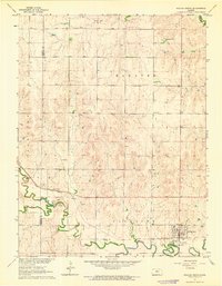
(10)- 1894 Map of Beloit
 1894 Beloit1894 Print · USGSMitchell and Lincoln counties come alive in the 1890s as the railroad and river systems began to shape these Kansas prairie towns. Genealogists and researchers can trace early homesteads and rail-stop settlements like Denmark, Tipton, and the Rocky Hill Mill.3 unique versions available
 - 1955 Map of Beloit, 1971 Print
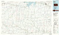
 1955 Beloit1971 Print · USGSNorth Central Kansas in the mid-fifties shows a landscape of river-valley agriculture and expanding water infrastructure. Genealogists can trace the rail lines of the Union Pacific through towns like Nicodemus, Cawker City, and the State Sanatorium.3 unique versions available
 - 1959 Map of Beloit
 1959 Beloit1959 Print · USGSNorth Central Kansas at mid-century reveals a landscape shaped by river valleys and the expansion of massive water reservoirs. Genealogists and historians can trace the rail-town connections of Beloit and Norton or locate the site of the new Webster Dam.3 unique versions available
 - 1963 Map of Sylvan Grove, 1964 Print
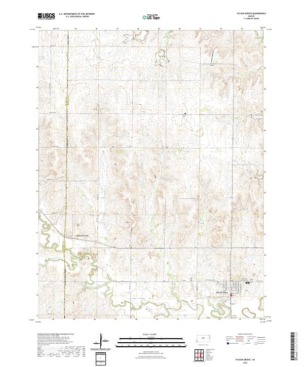
 1963 Sylvan Grove1964 Print · USGSThe rural agricultural landscape of Lincoln and Russell counties comes to life in the early 1960s, centered on the riverfront town of Sylvan Grove. Researchers can locate the Union Pacific rail lines, family-history sites like Rosette Cem, and the Vonada Landing Field.
 - 1985 Map of Beloit
 1985 Beloit1985 Print · USGSNorth Central Kansas in the mid-eighties shows a landscape shaped by the Solomon and Saline rivers and the massive Waconda Lake. Researchers can trace the routes of the Missouri Pacific RR and locate rural landmarks like the State Girls School and Denmark.2 unique versions available
 - 2009 Map of Sylvan Grove, 2009 Print
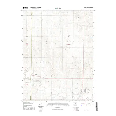
 2009 Sylvan Grove2009 Print · USGSCovers Wolf Creek, including Sylvan Grove, Lincoln County, and other nearby areas
 - 2012 Map of Sylvan Grove, 2012 Print
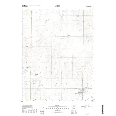
 2012 Sylvan Grove2012 Print · USGSCovers Wolf Creek, including Sylvan Grove, Lincoln County, and other nearby areas
 - 2015 Map of Sylvan Grove, 2015 Print
 2015 Sylvan Grove2015 Print · USGSCovers Wolf Creek, including Sylvan Grove, Lincoln County, and other nearby areas
 - 2018 Map of Sylvan Grove, 2018 Print
 2018 Sylvan Grove2018 Print · USGSCovers Wolf Creek, including Sylvan Grove, Lincoln County, and other nearby areas
 - 2022 Map of Sylvan Grove, 2022 Print
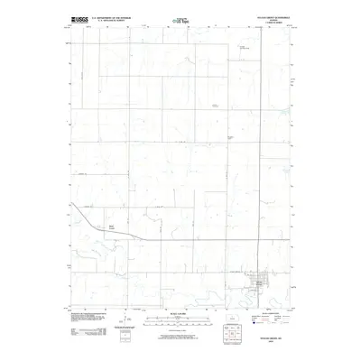
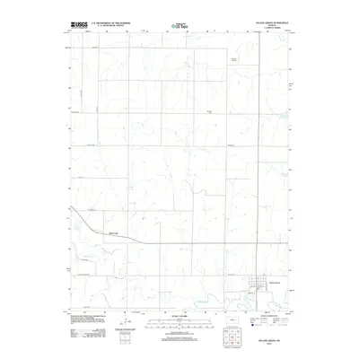
 2022 Sylvan Grove2022 Print · USGSThe rural prairie of Lincoln County is shown here in the early 2020s, centered on the riverside community of Sylvan Grove. Genealogists and local historians can trace family plots at Bethlehem Lutheran Cem or locate aviation landmarks like Vonada Airport.
End of results
Showing maps 1-10 of 10
Top cities near Wolf Creek
- Wilson historical maps
- Lucas historical maps
- Sylvan Grove historical maps
- Dorrance historical maps
- Luray historical maps
- Vesper historical maps
See more
Frequently asked questions
- What are the different types of historical maps available for Wolf Creek?
- What is the oldest map of Wolf Creek?
- Where can I purchase historical maps of Wolf Creek for my home or office?
- Where can I download high-res historical maps of Wolf Creek?
- Are there historical topographic maps available for Wolf Creek?
- Is there historical aerial imagery available for Wolf Creek?
- Where are historical maps of Wolf Creek sourced from?