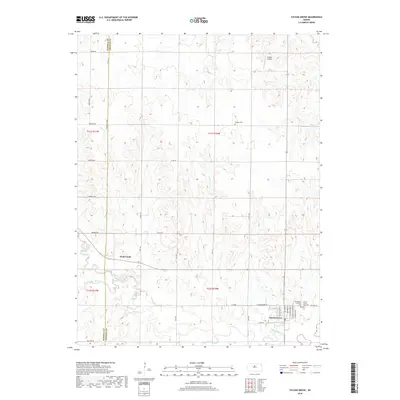
2018 Map of Sylvan Grove
USGS Topo · Published 2018About this map
Sylvan Grove sits at the southern edge of this Lincoln County survey, positioned near the winding path of the Saline River. The landscape is characterized by the complex drainage patterns of Wolf Creek and its tributary Blue Stem Cr, which carve through the plains north of the settlement. Agricultural and family history is anchored by several sites, including the Rosette Cem to the north and both the Sylvan Grove City Cem and Bethlehem Lutheran Cem located just east of the town center.
Find a feature on this map
42 named features on this map. Tap any name to fly to it.
Don’t see what you’re looking for? This feature index may not catch every label — zoom into the map to look around manually.
Map Details
Editions of this 2018 Sylvan Grove Map
This is the sole edition of this map. No revisions or reprints were ever made.
Other maps of this area

1894 · Ellsworth
USGS Topo · 1:125,000

1894 · Beloit
USGS Topo · 1:125,000

1896 · Osborne
USGS Topo · 1:125,000

1896 · Russell
USGS Topo · 1:125,000

1955 · Great Bend
USGS Topo · 1:250,000

1955 · Beloit
USGS Topo · 1:250,000

1957 · Great Bend
USGS Topo · 1:250,000

1958 · Great Bend
USGS Topo · 1:250,000

1959 · Beloit
USGS Topo · 1:250,000

1962 · Vesper
USGS Topo · 1:24,000