2000s (21st Century) Maps of Emporia, Kansas
Explore 10 historic maps of Emporia from the 2000s (21st Century). These maps offer a rare glimpse into what life looked like during the 2000s — showing old roads, neighborhoods, homes, and landmarks that have changed or disappeared over time.
Whether you're researching your family's past, planning a metal detecting trip, or studying how Emporia's landscape evolved across the 2000s, these high-resolution maps are a powerful tool for exploring the history of this region.
- Focus on a specific era: All maps on this page are from the 2000s, giving you a focused view of this time period.
- See what’s changed: Compare century-old streets, trails, and buildings to today's modern landscape using overlays and satellite layers.
- Research with precision: Use these maps for genealogy, historical research, land use analysis, or educational projects.
- View, download, or print: Maps are fully viewable online in high resolution, and can be downloaded or printed for your own records.
Start exploring Emporia's history through authentic maps from the 2000s. This is your window into the past.
Emporia, KS maps
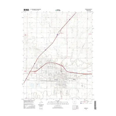
(10)- 2009 Map of Emporia, 2009 Print
 2009 Emporia2009 Print · USGSCovers Emporia, including Merrick, Belmont Trailer Court, and other nearby areas
 - 2010 Map of Olpe, 2010 Print
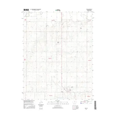
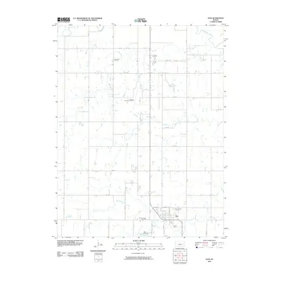 2010 Olpe2010 Print · USGSCovers Emporia, including Olpe, Lyon County, and other nearby areas
 - 2012 Map of Olpe, 2012 Print
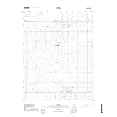
 2012 Olpe2012 Print · USGSCovers Emporia, including Olpe, Lyon County, and other nearby areas
 - 2012 Map of Emporia, 2012 Print
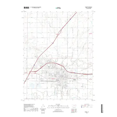
 2012 Emporia2012 Print · USGSCovers Emporia, including Merrick, Belmont Trailer Court, and other nearby areas
 - 2015 Map of Emporia, 2015 Print
 2015 Emporia2015 Print · USGSCovers Emporia, including Merrick, Belmont Trailer Court, and other nearby areas
 - 2015 Map of Olpe, 2015 Print
 2015 Olpe2015 Print · USGSCovers Emporia, including Olpe, Lyon County, and other nearby areas
 - 2018 Map of Olpe, 2018 Print
 2018 Olpe2018 Print · USGSCovers Emporia, including Olpe, Lyon County, and other nearby areas
 - 2018 Map of Emporia, 2018 Print
 2018 Emporia2018 Print · USGSCovers Emporia, including Merrick, Belmont Trailer Court, and other nearby areas
 - 2022 Map of Emporia, 2022 Print
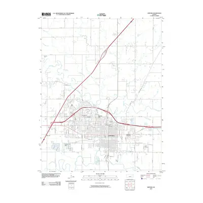
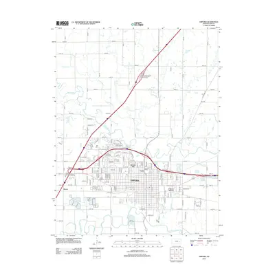
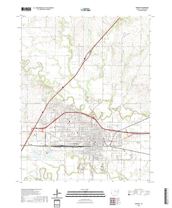 2022 Emporia2022 Print · USGSEmporia and its surrounding river valleys are captured here in the early twenty-first century, showing the city's dense street grid and academic institutions. Researchers can locate family heritage sites like Sacred Heart Cemetery or trace the rail-adjacent growth at Emporia Junction.
 - 2022 Map of Olpe, 2022 Print
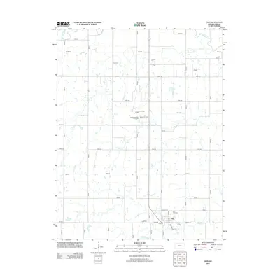
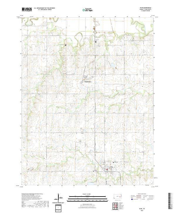 2022 Olpe2022 Print · USGSThe southern outskirts of the Flint Hills region are captured here in the early twenty-first century as the landscape balances aviation and agriculture. Researchers can locate family sites at Greenwood Cem or Pleasant Ridge Cem and trace the winding paths of Dry Cr and the Cottonwood River.
End of results
Showing maps 1-10 of 10
Top cities near Emporia
- Americus historical maps
- Olpe historical maps
- Toledo historical maps
- Neosho Rapids historical maps
- Dunlap historical maps
Top neighborhoods of Emporia
- Belmont Trailer Court historical maps
- Emporia Junction historical maps
- Coronado Hills historical maps
- Country Club Heights historical maps
- Berkeley Hills historical maps
Frequently asked questions
- What are the different types of historical maps available for Emporia?
- What is the oldest map of Emporia?
- Where can I purchase historical maps of Emporia for my home or office?
- Where can I download high-res historical maps of Emporia?
- Are there historical topographic maps available for Emporia?
- Is there historical aerial imagery available for Emporia?
- Where are historical maps of Emporia sourced from?