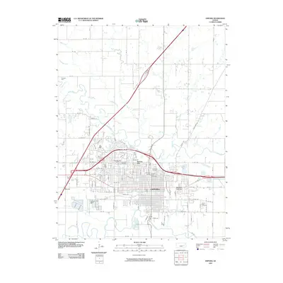
2009 Map of Emporia
USGS Topo · Published 2009About this map
Emporia sits at the confluence of the Neosho River and the Cottonwood River, serving as a regional hub for education and commerce in the early 21st century. The campus of Emporia State University dominates the central landscape, anchored by Kellogg Circle and the Wooster Bridge. The city's residential and industrial footprint is visible through neighborhoods like Berkeley Hills and Flint Hills Village, while the rail history is preserved at Emporia Junction.
Find a feature on this map
58 named features on this map. Tap any name to fly to it.
Don’t see what you’re looking for? This feature index may not catch every label — zoom into the map to look around manually.
Map Details
Editions of this 2009 Emporia Map
This is the sole edition of this map. No revisions or reprints were ever made.
Other maps of this area

1885 · Eskridge
USGS Topo · 1:125,000

1888 · Emporia
USGS Topo · 1:125,000

1889 · Eskridge
USGS Topo · 1:125,000

1894 · Emporia
USGS Topo · 1:125,000

1894 · Eskridge
USGS Topo · 1:125,000

1955 · Hutchinson
USGS Topo · 1:250,000

1957 · Lang
USGS Topo · 1:24,000

1957 · Emporia
USGS Topo · 1:24,000

1957 · Plymouth
USGS Topo · 1:24,000

1959 · Hutchinson
USGS Topo · 1:250,000