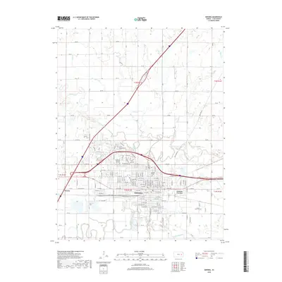
2018 Map of Emporia
USGS Topo · Published 2018About this map
Emporia is defined by the convergence of the Neosho River and the Cottonwood River, creating a fertile landscape that fostered its growth as a regional hub. This 2018 survey reveals a well-established urban grid punctuated by historical landmarks and community spaces. Local history is anchored at sites like Maplewood Cem and the Maplewood Memorial Lawn Cem, while the industrial legacy of the region is traced through names like Freight Rd and the Emporia Junction. Small water bodies such as Wooster Lake and East Lake break the terrain, alongside established crossings like Wooster Bridge. Beyond the city limits, the map details the rural character of Lyon County, marked by peripheral settlements like Merrick and a network of county roads such as RD 190 and RD 230 that connect the surrounding farmsteads.
Find a feature on this map
67 named features on this map. Tap any name to fly to it.
Don’t see what you’re looking for? This feature index may not catch every label — zoom into the map to look around manually.
Map Details
Editions of this 2018 Emporia Map
This is the sole edition of this map. No revisions or reprints were ever made.
Other maps of this area

1885 · Eskridge
USGS Topo · 1:125,000

1888 · Emporia
USGS Topo · 1:125,000

1889 · Eskridge
USGS Topo · 1:125,000

1894 · Emporia
USGS Topo · 1:125,000

1894 · Eskridge
USGS Topo · 1:125,000

1955 · Hutchinson
USGS Topo · 1:250,000

1957 · Lang
USGS Topo · 1:24,000

1957 · Emporia
USGS Topo · 1:24,000

1957 · Plymouth
USGS Topo · 1:24,000

1959 · Hutchinson
USGS Topo · 1:250,000