Old Maps of Marysville, Kansas for Academic Research
Study the evolution of Marysville with 18 high-resolution historic maps. Whether you're teaching, researching, or modeling changes in land use, these maps provide essential visual documentation of urban, environmental, and geographic change.
- Analyze long-term change: Track patterns in development, transportation, and natural features.
- Ideal for environmental or urban studies: Support academic projects with primary historical map data.
- Use in the classroom or lab: Educators and researchers rely on these maps to bring historical context to life.
These maps are a powerful tool for teaching, research, and visualizing how Marysville has changed over the decades.
Marysville, KS maps
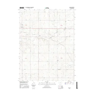
(18)- 1889 Map of Marysville
 1889 Marysville1889 Print · USGSMarshall County in the late nineteenth century was a bustling nexus of river trade and steam rail expansion. Genealogists and historians can trace early town sites like Marysville, Blue Rapids, and Irving along the Little Blue River and major rail lines.
 - 1894 Map of Marysville
 1894 Marysville1894 Print · USGSMarshall County's river valleys and railroad corridors are intricately detailed in the 1880s, before modern highway expansion altered the rural landscape. Genealogists can locate family lands near Ballard Falls, Bremen, or the rail junctions at Marysville.4 unique versions available
 - 1955 Map of Manhattan, 1964 Print
 1955 Manhattan1964 Print · USGSNorth Central Kansas is captured here in the mid-fifties, just as major flood control projects began reshaping the river valleys. Genealogists can locate family sites near St. Joseph Church, Sunset Cemetery, or along the busy tracks of the Rock Island RR.4 unique versions available
 - 1956 Map of Manhattan
 1956 Manhattan1956 Print · USGSNorth-central Kansas in the mid-fifties reveals a landscape defined by the convergence of the Republican River and Smoky Hill River. Historians can trace the rail corridors of the Union Pacific RR and Missouri Pacific RR through towns like Manhattan and Clay Center.
 - 1957 Map of Manhattan
 1957 Manhattan1957 Print · USGSNortheast Kansas in the mid-1950s reveals a landscape of expanding military installations and new water projects. Genealogists and historians can trace the rail-to-river economy through the Union Pacific RR and old settlements like Clay Center or Marysville.
 - 1966 Map of Marysville, 1967 Print
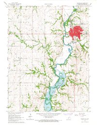 1966 Marysville1967 Print · USGSMarysville and the surrounding Marshall County countryside are documented here in the mid-sixties, just as the Tuttle Creek Reservoir shaped the river valley. Researchers can trace the layout of Marysville neighborhoods and find rural landmarks like Shroyer Cem and Aleove Spring.2 unique versions available
 - 1966 Map of Home, 1967 Print
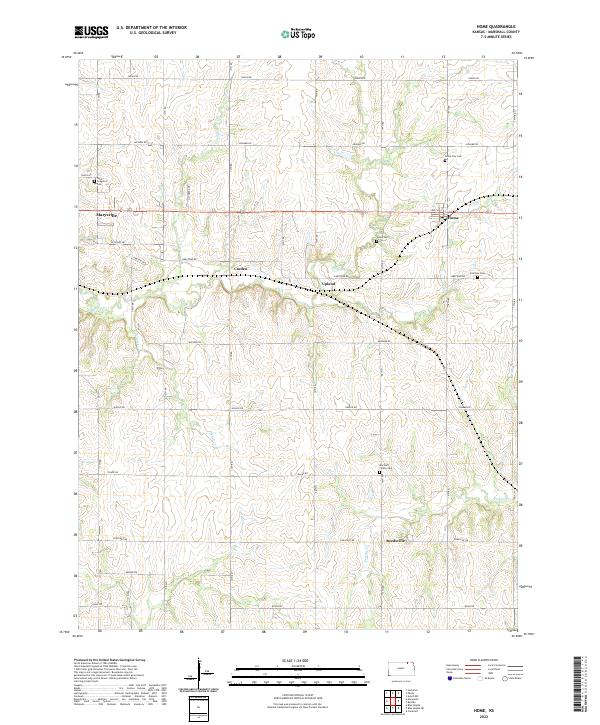
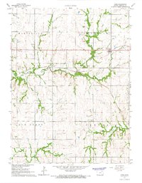 1966 Home1967 Print · USGSMarshall County in the mid-1960s shows a landscape defined by the Union Pacific rails and small prairie communities. Genealogists and historians can trace family locations near Home City Cem, the settlement of Reedsville, and local landmarks like the Water Tank or St Gregorys Cem.
 - 1986 Map of Blue Rapids
 1986 Blue Rapids1986 Print · USGSNortheast Kansas in the mid-eighties was a landscape of river-valley towns and steady rail lines. Researchers can trace family ties and early settlements from Hollenberg and Marysville down to the shores of Tuttle Creek Lake and the Big Blue River.2 unique versions available
 - 2009 Map of Home, 2009 Print
 2009 Home2009 Print · USGSCovers Marysville, including Home, Reedsville, and other nearby areas
 - 2009 Map of Marysville, 2009 Print
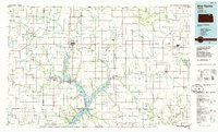
 2009 Marysville2009 Print · USGSCovers Marysville, including Shroyer, Marshall County, and other nearby areas
 - 2012 Map of Home, 2012 Print
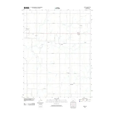
 2012 Home2012 Print · USGSCovers Marysville, including Home, Reedsville, and other nearby areas
 - 2012 Map of Marysville, 2012 Print
 2012 Marysville2012 Print · USGSCovers Marysville, including Shroyer, Marshall County, and other nearby areas
 - 2015 Map of Marysville, 2015 Print
 2015 Marysville2015 Print · USGSCovers Marysville, including Shroyer, Marshall County, and other nearby areas
 - 2015 Map of Home, 2015 Print
 2015 Home2015 Print · USGSCovers Marysville, including Home, Reedsville, and other nearby areas
 - 2018 Map of Marysville, 2018 Print
 2018 Marysville2018 Print · USGSCovers Marysville, including Shroyer, Marshall County, and other nearby areas
 - 2018 Map of Home, 2018 Print
 2018 Home2018 Print · USGSCovers Marysville, including Home, Reedsville, and other nearby areas
 - 2022 Map of Home, 2022 Print
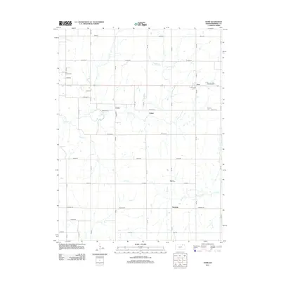
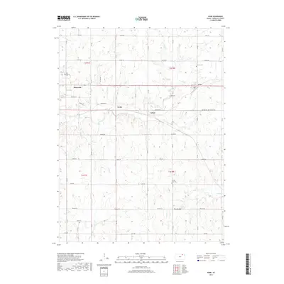
 2022 Home2022 Print · USGSThe rural landscape of Marshall County is mapped here in the early twenty-first century, showing the small community of Home and its neighboring agricultural hamlets. Researchers can trace local lineage through several cemeteries, including Home City Cem and Fairview Cem, while locating the old routes of Carden and Upland.
 - 2022 Map of Marysville, 2022 Print
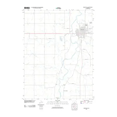
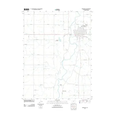
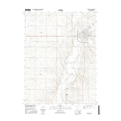
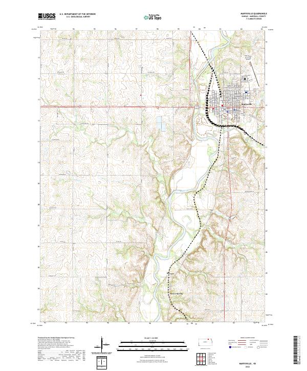 2022 Marysville2022 Print · USGSMarysville and the Big Blue River valley are shown here in detail during the early 2020s. Researchers can trace the layout of the county seat around the Marshall County Courthouse or locate regional landmarks like Alcove Spring and Marysville Cem.
End of results
Showing maps 1-18 of 18
Top cities near Marysville
- Blue Rapids historical maps
- Frankfort historical maps
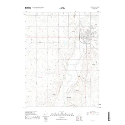
- Waterville historical maps
- Hanover historical maps
- Odell historical maps
- Beattie historical maps
See more
Frequently asked questions
- What are the different types of historical maps available for Marysville?
- What is the oldest map of Marysville?
- Where can I purchase historical maps of Marysville for my home or office?
- Where can I download high-res historical maps of Marysville?
- Are there historical topographic maps available for Marysville?
- Is there historical aerial imagery available for Marysville?
- Where are historical maps of Marysville sourced from?