Old Maps of Louisburg, Kansas for Academic Research
Study the evolution of Louisburg with 28 high-resolution historic maps. Whether you're teaching, researching, or modeling changes in land use, these maps provide essential visual documentation of urban, environmental, and geographic change.
- Analyze long-term change: Track patterns in development, transportation, and natural features.
- Ideal for environmental or urban studies: Support academic projects with primary historical map data.
- Use in the classroom or lab: Educators and researchers rely on these maps to bring historical context to life.
These maps are a powerful tool for teaching, research, and visualizing how Louisburg has changed over the decades.
Louisburg, KS maps
(28)- 1887 Map of Olathe
 1887 Olathe1887 Print · USGSEastern Kansas and the Missouri borderlands were being transformed by rail during the 1880s. Genealogists and historians can trace early town sites and railroad corridors like the Kansas City Clinton and Springfield Railroad and settlements from Lenexa to Osawatomie.
 - 1887 Map of Mound City
 1887 Mound City1887 Print · USGSLinn and Miami counties are captured here in the 1880s, showcasing a landscape of river-valley agriculture and rapid railroad growth. Researchers can trace the path of the Kansas City Fort Scott and Gulf Railroad through Pleasanton or locate early settlements like Trading Post and Wall Street.
 - 1893 Map of Mound City
 1893 Mound City1893 Print · USGSEastern Kansas at the close of the nineteenth century is defined here by its rail-and-river network and early township boundaries. Genealogists and historians can trace the early growth of Mound City, Pleasanton, and La Cygne along the Kansas City Osage and Gulf Railroad.4 unique versions available
 - 1893 Map of Olathe
 1893 Olathe1893 Print · USGSThe Kansas-Missouri border thrived during the late nineteenth century as a hub for expanding railroads and prairie commerce. Genealogists and historians can trace the early rail networks and locate frontier settlements like New Santa Fe, Olathe, and Paola.6 unique versions available
 - 1947 Map of Lawrence, 1954 Print
 1947 Lawrence1954 Print · USGSEastern Kansas and western Missouri thrive in the late 1940s, showing a landscape defined by major river valleys and a dense railway network. Genealogists can trace family settlements from Lawrence to Greenwood and locate landmarks like Olathe Navy and Lake Lotawana.
 - 1950 Map of Lawrence
 1950 Lawrence1950 Print · USGSMid-century Kansas and Missouri come alive in this map of the river-valley corridors just as the interstate era was beginning. Researchers can trace the legacy of major rail lines like the Union Pacific RR and locate ancestral roots in towns from Lawrence to Harrisonville.
 - 1956 Map of Bucyrus, 1957 Print
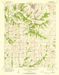
 1956 Bucyrus1957 Print · USGSBucyrus and rural Miami County are shown here in the mid-fifties, still defined by a landscape of family farms and small rail stops. Researchers can trace historic school sites like Wea Sch and Snake Den Sch, or follow the path of the Missouri Pacific railroad.2 unique versions available
 - 1956 Map of Lawrence, 1967 Print
 1956 Lawrence1967 Print · USGSEastern Kansas and the Missouri border country are captured here during the mid-century transition to the interstate era. Genealogists and local historians can trace family-named terrain like Summers Mound and the footprint of Sunflower Ordnance Works near Baldwin City.4 unique versions available
 - 1957 Map of Louisburg, 1958 Print
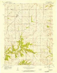
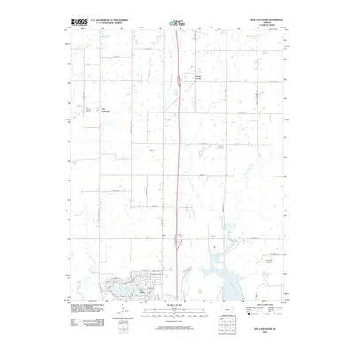
 1957 Louisburg1958 Print · USGSLouisburg and the eastern Kansas plains are captured in the late fifties as a landscape of small school districts and early oil exploration. Researchers can trace rural landmarks like Miami Ch, the Bellview Sch Cem, and the Missouri Kansas Texas rail line.
 - 1957 Map of New Lancaster, 1959 Print
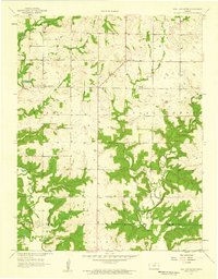 1957 New Lancaster1959 Print · USGSMiami and Linn counties appear here in the late fifties, showcasing a rural landscape defined by creek drainage and small crossroads. Researchers can trace family sites near New Lancaster, Drexel Corner, and the Rockville Cem.2 unique versions available
 - 1961 Map of Lawrence
 1961 Lawrence1961 Print · USGSThe Kansas-Missouri borderland shows its mid-century transition from a rail-dependent agricultural region to a suburbanizing landscape. Genealogists can trace family footprints through numerous Cem sites and distinctive terrain landmarks like Graves Mound and Summers Mound.
 - 1981 Map of Butler
 1981 Butler1981 Print · USGSWestern Missouri and eastern Kansas settlements are documented here in the early eighties, as the river valleys were transitioning into major wildlife management areas. Genealogists can locate family names near Greenlawn Cem or trace the development of towns like Butler, Osawatomie, and Appleton City.
 - 1983 Map of Olathe, 1984 Print
 1983 Olathe1984 Print · USGSThe Kansas-Missouri borderlands hum with suburban growth and historic transit routes in the early eighties. Researchers can trace the Santa Fe Trail across a landscape featuring Richards-Gebaur Air Force Base and Hillsdale Lake.
 - 2009 Map of New Lancaster, 2009 Print
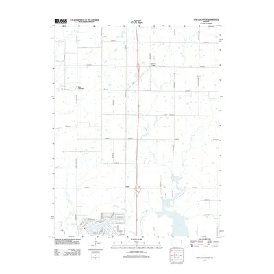
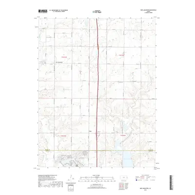
 2009 New Lancaster2009 Print · USGSCovers Louisburg, including Linn Valley, Drexel Corner, and other nearby areas
 - 2009 Map of Louisburg, 2009 Print
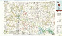
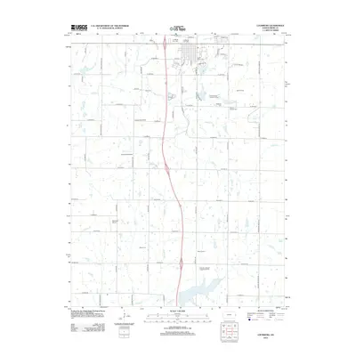
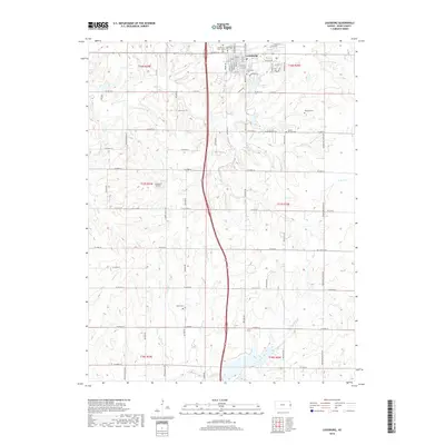
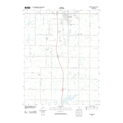 2009 Louisburg2009 Print · USGSCovers Louisburg, including Miami County, United States, and other nearby areas
 - 2010 Map of Bucyrus, 2010 Print
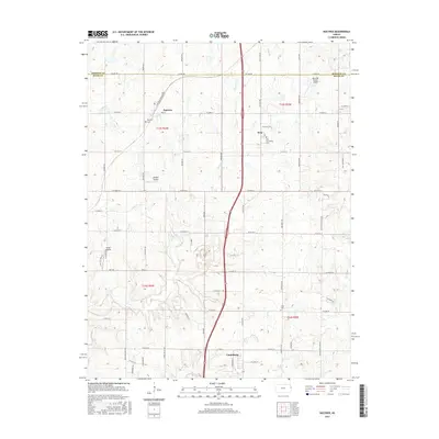
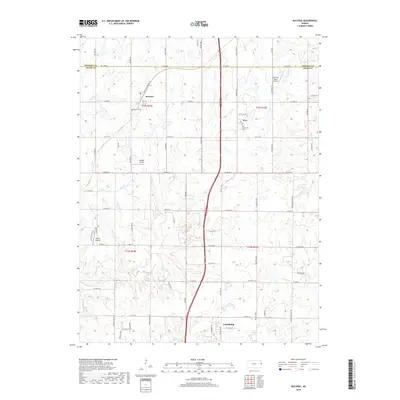
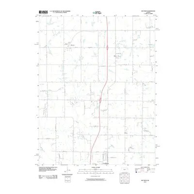 2010 Bucyrus2010 Print · USGSCovers Louisburg, including Wea, Bucyrus, and other nearby areas
 - 2012 Map of New Lancaster, 2012 Print
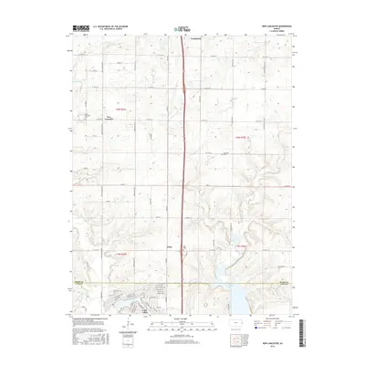
 2012 New Lancaster2012 Print · USGSCovers Louisburg, including Linn Valley, Drexel Corner, and other nearby areas
 - 2012 Map of Louisburg, 2012 Print
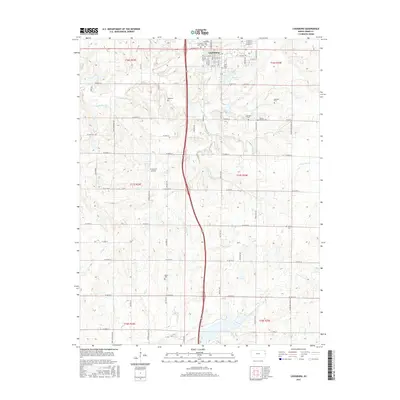
 2012 Louisburg2012 Print · USGSCovers Louisburg, including Miami County, United States, and other nearby areas
 - 2012 Map of Bucyrus, 2012 Print
 2012 Bucyrus2012 Print · USGSCovers Louisburg, including Wea, Bucyrus, and other nearby areas
 - 2015 Map of Bucyrus, 2015 Print
 2015 Bucyrus2015 Print · USGSCovers Louisburg, including Wea, Bucyrus, and other nearby areas
 - 2015 Map of Louisburg, 2015 Print
 2015 Louisburg2015 Print · USGSCovers Louisburg, including Miami County, United States, and other nearby areas
 - 2015 Map of New Lancaster, 2015 Print
 2015 New Lancaster2015 Print · USGSCovers Louisburg, including Linn Valley, Drexel Corner, and other nearby areas
 - 2018 Map of Louisburg, 2018 Print
 2018 Louisburg2018 Print · USGSCovers Louisburg, including Miami County, United States, and other nearby areas
 - 2018 Map of New Lancaster, 2018 Print
 2018 New Lancaster2018 Print · USGSCovers Louisburg, including Linn Valley, Drexel Corner, and other nearby areas
 - 2018 Map of Bucyrus, 2018 Print
 2018 Bucyrus2018 Print · USGSCovers Louisburg, including Wea, Bucyrus, and other nearby areas
Showing maps 1-25 of 28
Top cities near Louisburg
- Overland Park historical maps
- Belton historical maps
- Raymore historical maps
- Gardner historical maps
- Aubry historical maps
- Paola historical maps
See more
Frequently asked questions
- What are the different types of historical maps available for Louisburg?
- What is the oldest map of Louisburg?
- Where can I purchase historical maps of Louisburg for my home or office?
- Where can I download high-res historical maps of Louisburg?
- Are there historical topographic maps available for Louisburg?
- Is there historical aerial imagery available for Louisburg?
- Where are historical maps of Louisburg sourced from?