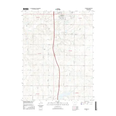
2015 Map of Louisburg
USGS Topo · Published 2015About this map
Louisburg serves as the focal point of this Eastern Kansas landscape, where the town's northern expansion is clearly visible through a structured grid of streets like W Amity St and N Broadway St. The area's genealogical depth is remarkably well-preserved through a high density of rural burial grounds, including the distinct Louisburg Cem - Old and Louisburg Cem - New, alongside family-named sites such as Reed Cem and Herman Cem. The terrain is defined by the drainage patterns of South Wea Cr and Rabbit Cr, which carve through the agricultural sections south of the city.
Find a feature on this map
48 named features on this map. Tap any name to fly to it.
Don’t see what you’re looking for? This feature index may not catch every label — zoom into the map to look around manually.
Map Details
Editions of this 2015 Louisburg Map
This is the sole edition of this map. No revisions or reprints were ever made.
Other maps of this area

1887 · Olathe
USGS Topo · 1:125,000

1887 · Mound City
USGS Topo · 1:125,000

1893 · Mound City
USGS Topo · 1:125,000

1893 · Olathe
USGS Topo · 1:125,000

1947 · Lawrence
USGS Topo · 1:250,000

1950 · Lawrence
USGS Topo · 1:250,000

1953 · Freeman
USGS Topo · 1:24,000

1953 · West Line
USGS Topo · 1:24,000

1956 · Bucyrus
USGS Topo · 1:24,000

1956 · Paola East
USGS Topo · 1:24,000