Old Maps of Louisburg, Kansas for Metal Detecting
Plan your next treasure hunt with 28 historic maps of Louisburg. Find old homesites, ghost towns, trails, and gathering spots that may be lost to time — perfect for identifying promising metal detecting locations.
- Locate forgotten sites: Uncover places like long-lost settlements, abandoned rail lines, or gathering spots.
- Plan better hunts: Use map overlays combined with LiDAR or satellite views to narrow in on historically rich areas.
- Made for detectorists: Thousands of hobbyists use these maps to discover relics, coins, and hidden history.
Use these historic maps to boost your research and find new opportunities beneath the surface of Louisburg.
Louisburg, KS maps
(28)- 1887 Map of Olathe
 1887 Olathe1887 Print · USGSEastern Kansas and the Missouri borderlands were being transformed by rail during the 1880s. Genealogists and historians can trace early town sites and railroad corridors like the Kansas City Clinton and Springfield Railroad and settlements from Lenexa to Osawatomie.
 - 1887 Map of Mound City
 1887 Mound City1887 Print · USGSLinn and Miami counties are captured here in the 1880s, showcasing a landscape of river-valley agriculture and rapid railroad growth. Researchers can trace the path of the Kansas City Fort Scott and Gulf Railroad through Pleasanton or locate early settlements like Trading Post and Wall Street.
 - 1893 Map of Mound City
 1893 Mound City1893 Print · USGSEastern Kansas at the close of the nineteenth century is defined here by its rail-and-river network and early township boundaries. Genealogists and historians can trace the early growth of Mound City, Pleasanton, and La Cygne along the Kansas City Osage and Gulf Railroad.4 unique versions available
 - 1893 Map of Olathe
 1893 Olathe1893 Print · USGSThe Kansas-Missouri border thrived during the late nineteenth century as a hub for expanding railroads and prairie commerce. Genealogists and historians can trace the early rail networks and locate frontier settlements like New Santa Fe, Olathe, and Paola.6 unique versions available
 - 1947 Map of Lawrence, 1954 Print
 1947 Lawrence1954 Print · USGSEastern Kansas and western Missouri thrive in the late 1940s, showing a landscape defined by major river valleys and a dense railway network. Genealogists can trace family settlements from Lawrence to Greenwood and locate landmarks like Olathe Navy and Lake Lotawana.
 - 1950 Map of Lawrence
 1950 Lawrence1950 Print · USGSMid-century Kansas and Missouri come alive in this map of the river-valley corridors just as the interstate era was beginning. Researchers can trace the legacy of major rail lines like the Union Pacific RR and locate ancestral roots in towns from Lawrence to Harrisonville.
 - 1956 Map of Bucyrus, 1957 Print
 1956 Bucyrus1957 Print · USGSBucyrus and rural Miami County are shown here in the mid-fifties, still defined by a landscape of family farms and small rail stops. Researchers can trace historic school sites like Wea Sch and Snake Den Sch, or follow the path of the Missouri Pacific railroad.2 unique versions available
 - 1956 Map of Lawrence, 1967 Print
 1956 Lawrence1967 Print · USGSEastern Kansas and the Missouri border country are captured here during the mid-century transition to the interstate era. Genealogists and local historians can trace family-named terrain like Summers Mound and the footprint of Sunflower Ordnance Works near Baldwin City.4 unique versions available
 - 1957 Map of Louisburg, 1958 Print
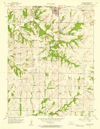 1957 Louisburg1958 Print · USGSLouisburg and the eastern Kansas plains are captured in the late fifties as a landscape of small school districts and early oil exploration. Researchers can trace rural landmarks like Miami Ch, the Bellview Sch Cem, and the Missouri Kansas Texas rail line.
 - 1957 Map of New Lancaster, 1959 Print
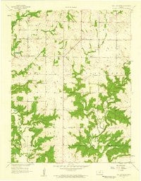 1957 New Lancaster1959 Print · USGSMiami and Linn counties appear here in the late fifties, showcasing a rural landscape defined by creek drainage and small crossroads. Researchers can trace family sites near New Lancaster, Drexel Corner, and the Rockville Cem.2 unique versions available
 - 1961 Map of Lawrence
 1961 Lawrence1961 Print · USGSThe Kansas-Missouri borderland shows its mid-century transition from a rail-dependent agricultural region to a suburbanizing landscape. Genealogists can trace family footprints through numerous Cem sites and distinctive terrain landmarks like Graves Mound and Summers Mound.
 - 1981 Map of Butler
 1981 Butler1981 Print · USGSWestern Missouri and eastern Kansas settlements are documented here in the early eighties, as the river valleys were transitioning into major wildlife management areas. Genealogists can locate family names near Greenlawn Cem or trace the development of towns like Butler, Osawatomie, and Appleton City.
 - 1983 Map of Olathe, 1984 Print
 1983 Olathe1984 Print · USGSThe Kansas-Missouri borderlands hum with suburban growth and historic transit routes in the early eighties. Researchers can trace the Santa Fe Trail across a landscape featuring Richards-Gebaur Air Force Base and Hillsdale Lake.
 - 2009 Map of New Lancaster, 2009 Print
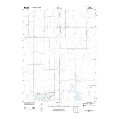 2009 New Lancaster2009 Print · USGSMiami County at the start of the twenty-first century reveals a landscape of growing residential enclaves and quiet rural crossroads. Genealogists can trace family histories at the New Lancaster Cemetery or Rockville Cemetery, while others can map the modern growth of Linn Valley.
 - 2009 Map of Louisburg, 2009 Print
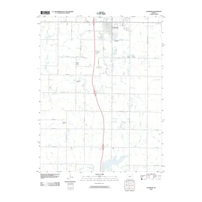 2009 Louisburg2009 Print · USGSMiami County shows its modern agricultural and municipal layout in the early twenty-first century. Genealogists and local researchers can locate Cashman Cemetery, the Spring Valley School, and small airfields like Somerset Airport among the section-line roads.
 - 2010 Map of Bucyrus, 2010 Print
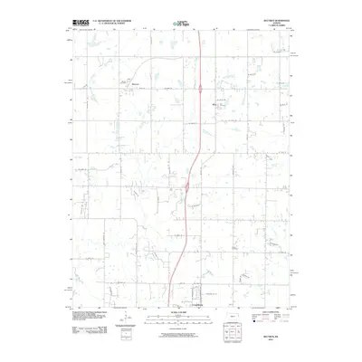 2010 Bucyrus2010 Print · USGSBucyrus and the northern reaches of Louisburg are documented here during a period of modern rural transition. Genealogists and local historians can trace family locations near the Bucyrus Post Office, Wea Cemetery, and Cross Cemetery.
 - 2012 Map of New Lancaster, 2012 Print
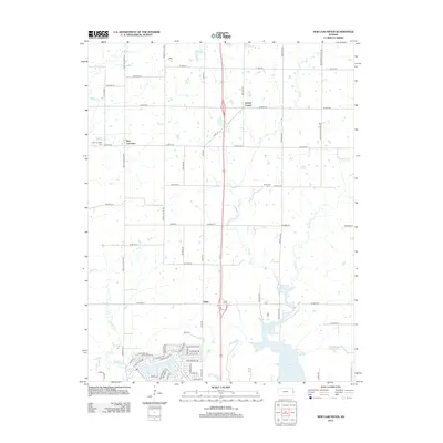 2012 New Lancaster2012 Print · USGSMiami County at the start of the 2010s shows a landscape of steady agricultural roots and modern lakeside development. Researchers can locate family sites at New Lancaster Cem and Jingo Cem, or trace the winding waters of Middle Cr and Elm Cr.
 - 2012 Map of Louisburg, 2012 Print
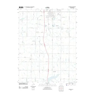 2012 Louisburg2012 Print · USGSLouisburg and the surrounding Miami County hills are documented here in the early twenty-first century as the area balanced its rural roots with new development. Researchers can trace family history through numerous small burial grounds like Cashman Cem and find old school sites such as Spring Valley School.
 - 2012 Map of Bucyrus, 2012 Print
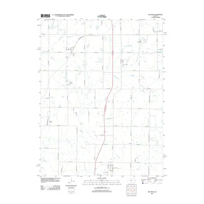 2012 Bucyrus2012 Print · USGSThe rural landscape of northern Miami County is captured here in the early twenty-first century, centered on the community of Bucyrus. Local historians can trace family roots at Bucyrus Cem and Wea Community Cem or locate private aviation sites like Chiles Airpark.
 - 2015 Map of Bucyrus, 2015 Print
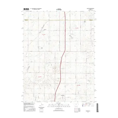 2015 Bucyrus2015 Print · USGSThe Kansas-Missouri border region south of Overland Park is captured here during a period of steady rural development. Genealogists and local historians can trace family-named sites like Cross Cem, the community of Wea, and landmarks such as Chiles Airpark.
 - 2015 Map of Louisburg, 2015 Print
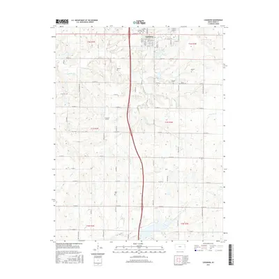 2015 Louisburg2015 Print · USGSLouisburg and the surrounding Miami County countryside are captured here in the mid-2010s, showing a blend of small-town growth and deep-rooted rural history. Genealogists can trace numerous family and community burial sites like Saint Mary's Cem, Wilson - Raymer Cem, and Miami Cem.
 - 2015 Map of New Lancaster, 2015 Print
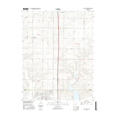 2015 New Lancaster2015 Print · USGSMiami and Linn counties are shown in the mid-2010s, capturing the area's transition from rural farming to lakeside residential development. Researchers can locate family sites near New Lancaster Cem or trace the drainage of Middle Cr and Elm Cr.
 - 2018 Map of Louisburg, 2018 Print
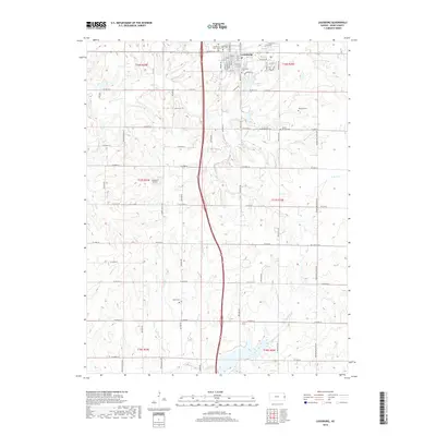 2018 Louisburg2018 Print · USGSLouisburg and the surrounding Miami County farmsteads are documented here in the late twenty-teens. Genealogists can trace family heritage through numerous rural burial sites like Reed Cem, Herman Cem, and the Louisburg Cem - Old.
 - 2018 Map of New Lancaster, 2018 Print
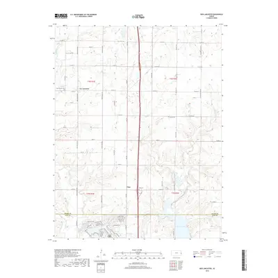 2018 New Lancaster2018 Print · USGSThe rural borderlands of Miami and Linn counties are captured here in the late twenty-tens, showing the residential growth of Linn Valley. Genealogists can locate several family and community burial grounds, including New Lancaster Cem, Rockville Cem, and Jingo Cem.
 - 2018 Map of Bucyrus, 2018 Print
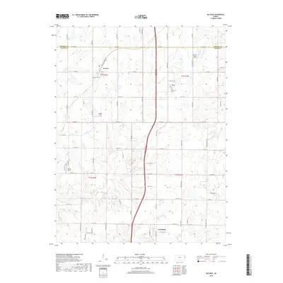 2018 Bucyrus2018 Print · USGSThe rural stretch between Johnson and Miami Counties comes into focus in this late-2010s survey. Genealogists can trace early homesteads through the Bucyrus Cem and Cross Cem, while aviation enthusiasts can locate several local runways like Chiles Airpark.
Showing maps 1-25 of 28
Top cities near Louisburg
- Overland Park historical maps
- Belton historical maps
- Raymore historical maps
- Gardner historical maps
- Aubry historical maps
- Paola historical maps
See more
Frequently asked questions
- What are the different types of historical maps available for Louisburg?
- What is the oldest map of Louisburg?
- Where can I purchase historical maps of Louisburg for my home or office?
- Where can I download high-res historical maps of Louisburg?
- Are there historical topographic maps available for Louisburg?
- Is there historical aerial imagery available for Louisburg?
- Where are historical maps of Louisburg sourced from?