2020s Maps of Montgomery County, Kansas
Explore 20 historic maps of Montgomery County from the 2020s. These maps offer a rare glimpse into what life looked like during the 2020s — showing old roads, neighborhoods, homes, and landmarks that have changed or disappeared over time.
Whether you're researching your family's past, planning a metal detecting trip, or studying how Montgomery County's landscape evolved across the 2020s, these high-resolution maps are a powerful tool for exploring the history of this region.
- Focus on a specific era: All maps on this page are from the 2020s, giving you a focused view of this time period.
- See what’s changed: Compare century-old streets, trails, and buildings to today's modern landscape using overlays and satellite layers.
- Research with precision: Use these maps for genealogy, historical research, land use analysis, or educational projects.
- View, download, or print: Maps are fully viewable online in high resolution, and can be downloaded or printed for your own records.
Start exploring Montgomery County's history through authentic maps from the 2020s. This is your window into the past.
Montgomery County, KS maps
(20)- 2022 Map of Independence, 2022 Print
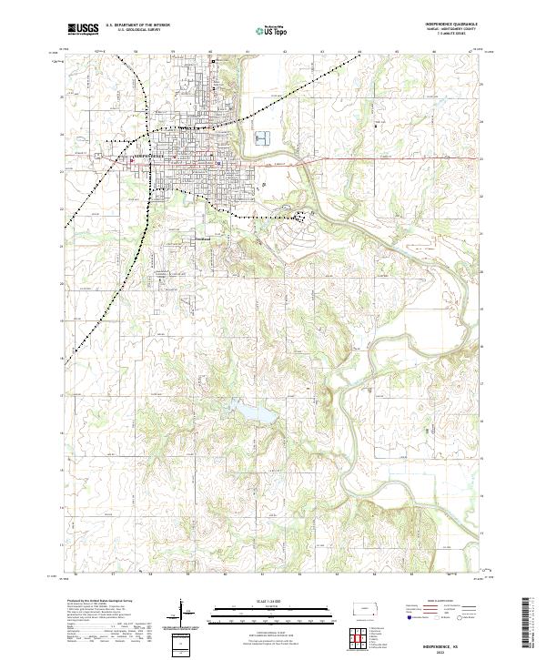 2022 Independence2022 Print · USGSIndependence and the Verdigris River valley are shown in this modern survey of Montgomery County. Genealogists can trace family sites at Mount Hope Cem and Pratt Cem, or locate the Independence Community College campus.
 - 2022 Map of Liberty, 2022 Print
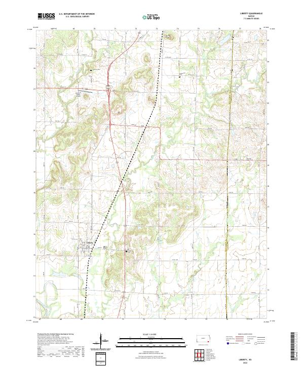 2022 Liberty2022 Print · USGSSoutheast Kansas farmland meets the winding Verdigris River in this recent survey of the Montgomery and Labette county border. Researchers can trace local burial sites at Harmony Cem and All Saints Cem or locate the Harmony Valley Airport near Liberty.
 - 2022 Map of Tyro, 2022 Print
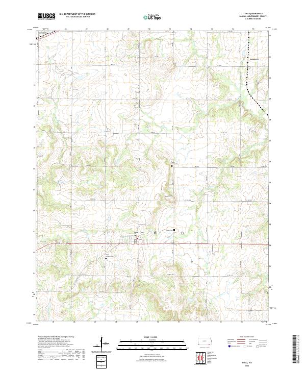 2022 Tyro2022 Print · USGSThe rural landscapes of southern Kansas are meticulously documented here, showing the community of Tyro and its network of section-line roads. Genealogists and local historians can locate early burial sites like Trinity Lutheran Cem and Pioneer Cem alongside landmarks such as Stony Point.
 - 2022 Map of Caney NW, 2022 Print
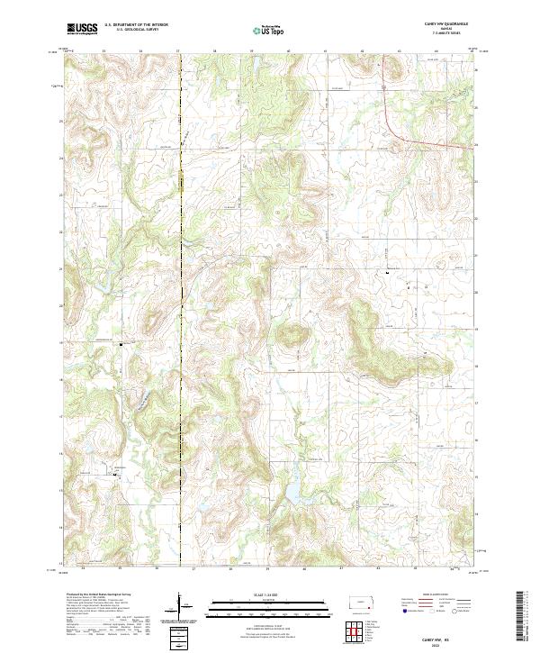 2022 Caney NW2022 Print · USGSMontgomery County land use and drainage patterns are on clear display in this recent survey of the Kansas countryside. Genealogists can locate family burial sites at Washington Cem, Burton Cem, and Rutland Cem along the quiet county roads.
 - 2022 Map of Lafontaine, 2022 Print
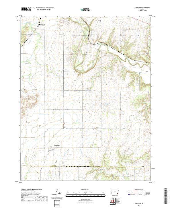 2022 Lafontaine2022 Print · USGSThe rural landscape of Wilson County is documented here in the modern era, centered on the settlement of Lafontaine. Researchers can trace family history at the Bachelder Cem or follow the winding courses of the Fall River and Mulberry Cr.
 - 2022 Map of Buxton, 2022 Print
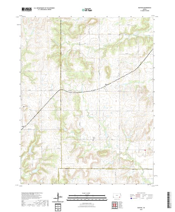 2022 Buxton2022 Print · USGSThis rural Kansas landscape at the meeting of Wilson, Elk, and Montgomery counties shows a quiet agricultural community in the early twenty-first century. Researchers can trace family ties at Mount Pleasant Cem or locate the small settlements of Buxton and Upola.
 - 2022 Map of Cherryvale, 2022 Print
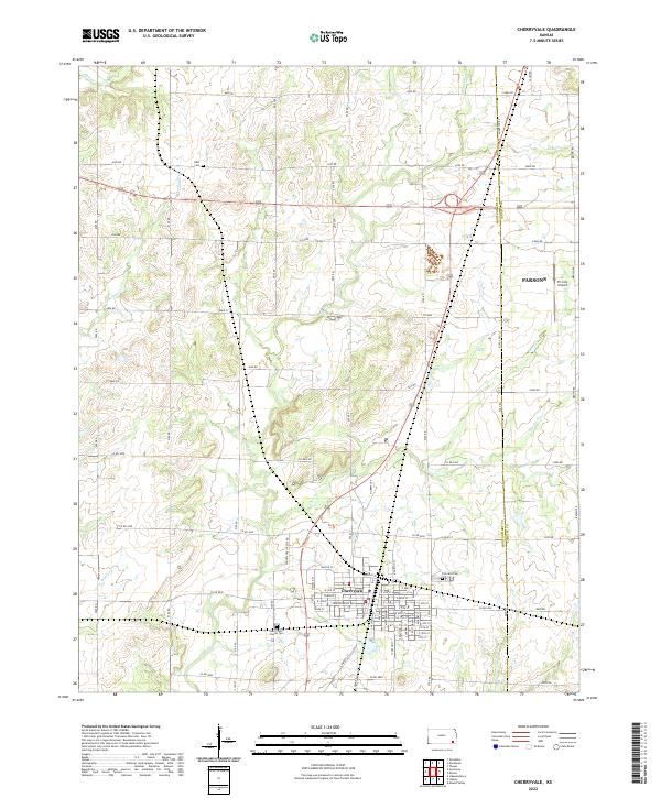 2022 Cherryvale2022 Print · USGSThe town of Cherryvale and the Montgomery-Labette county line are shown here in the early twenty-first century. Researchers can trace local lineage at Fairview Cem or Hiltz Cem and follow the paths of Cherry Cr and Drum Cr.
 - 2022 Map of Elk City, 2022 Print
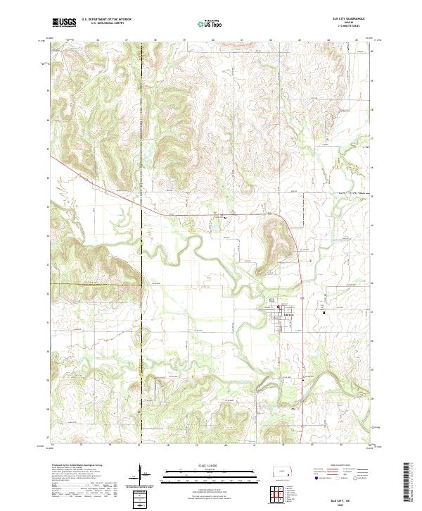 2022 Elk City2022 Print · USGSElk City and the surrounding Montgomery County countryside appear here in the early 2020s, showing the intersection of the Elk River and Salt Cr. Researchers can locate historic burial sites like Oak Hill Cem and Star Center Cem alongside rural landmarks such as Darbro Field.
 - 2022 Map of Coffeyville West, 2022 Print
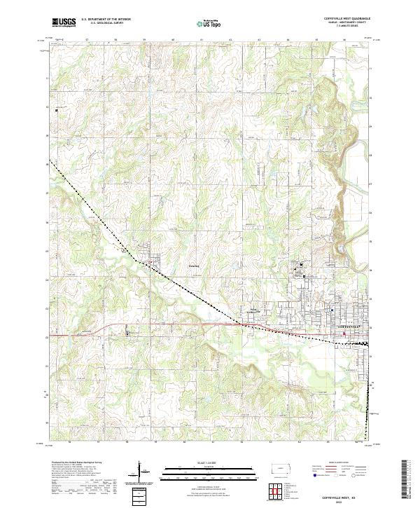 2022 Coffeyville West2022 Print · USGSMontgomery County at the start of the 2020s shows the suburban and rural expansion west of the Verdigris River. Genealogists can trace family history through numerous sites like Robbins Cem, Jefferson Cem, and Restlawn Memorial Park Cem.
 - 2022 Map of Neodesha, 2022 Print
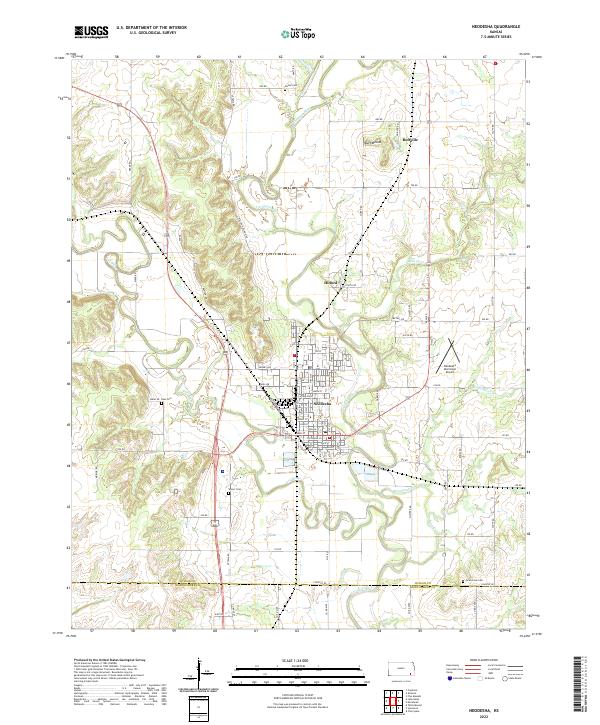 2022 Neodesha2022 Print · USGSThe confluence of the Fall River and Verdigris River shapes this Wilson County landscape in the early 2020s. Researchers can trace local genealogy at Hatler Cem and Ross Cem or locate the site of Buffville near the distinctive Buff Mound.
 - 2022 Map of Morehead, 2022 Print
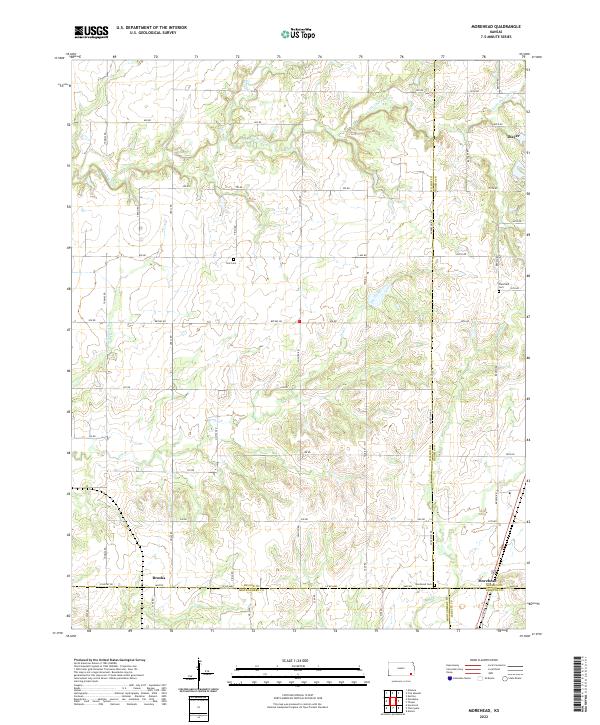 2022 Morehead2022 Print · USGSThe convergence of Wilson, Neosho, Labette, and Montgomery counties defines this rural Kansas landscape. Researchers can trace family roots through the grounds of Plainfield Cemetery and Star Cemetery or locate the settlements of Morehead and Brooks.
 - 2022 Map of Sycamore, 2022 Print
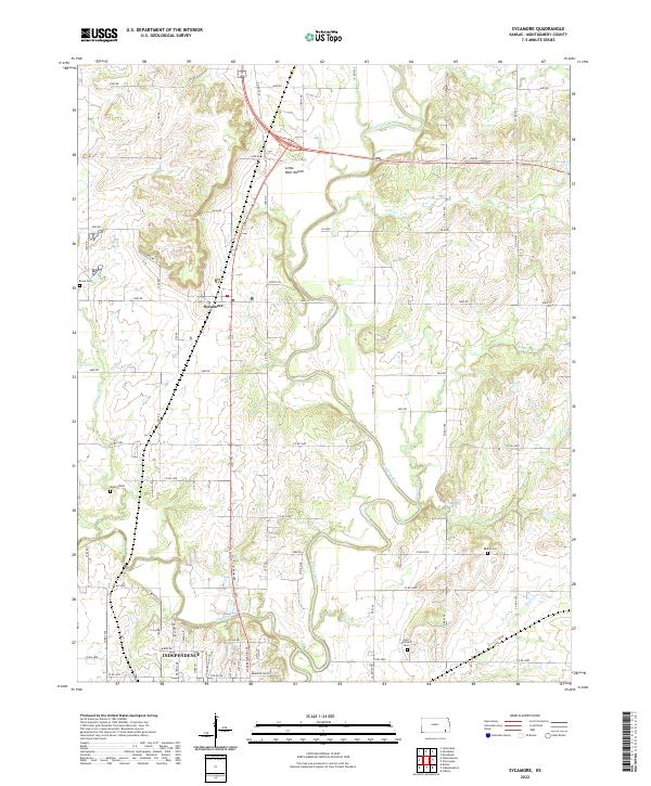 2022 Sycamore2022 Print · USGSSoutheast Kansas in the early twenty-first century is defined by the winding paths of the Verdigris River and the northern expansion of the city of Independence. Genealogists and local researchers can trace family landmarks at Little Bear Mound or locate historic resting places like Radical Cem and Krone Cem.
 - 2022 Map of Coffeyville East, 2022 Print
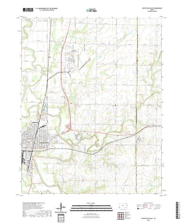 2022 Coffeyville East2022 Print · USGSCoffeyville and its surrounding river valleys are captured here in the early twenty-first century. Researchers can trace the city street grid or locate local landmarks like Elmwood Cem, the Coffeyville Municipal Airport, and Avian.
 - 2022 Map of Caney, 2022 Print
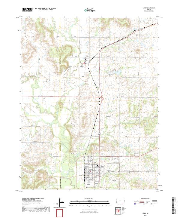 2022 Caney2022 Print · USGSSouthern Montgomery County comes into focus in the early 2020s, centered on the growing town of Caney. Genealogists and local historians can trace family locations near Sunny Side Cem or explore the rural reaches surrounding Havana and Round Mound.
 - 2022 Map of South Coffeyville, 2022 Print
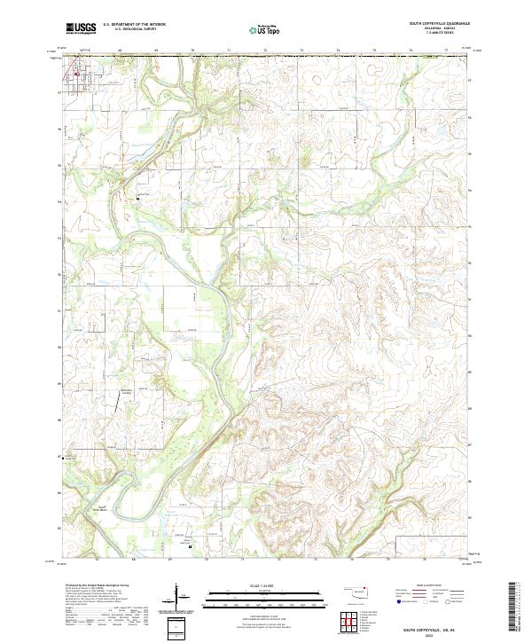 2022 South Coffeyville2022 Print · USGSNowata County’s river-bottom lands are documented here in the early twenty-first century, centered on the winding path of the Verdigris River. Genealogists and local researchers can locate rural landmarks like Melton Cem, Belleview Landing, and Goose Neck Cem.
 - 2022 Map of Wann, 2022 Print
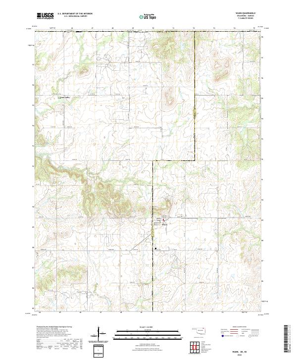 2022 Wann2022 Print · USGSOklahoma's northern borderlands come into focus in this recent survey of the region surrounding the Wann settlement. Researchers can trace local landmarks and family connections at Patrick Cem or explore the rural routes through Cotton Valley.
 - 2022 Map of Elliott, 2022 Print
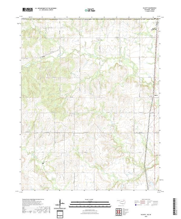 2022 Elliott2022 Print · USGSNorthern Oklahoma's borderlands come into focus in this contemporary survey of the area around South Coffeyville. Researchers can trace the path of Hickory Creek and locate family landmarks like Calvary Cemetery and Steward Cemetery.
 - 2022 Map of Copan, 2022 Print
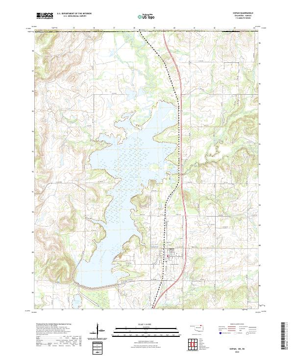 2022 Copan2022 Print · USGSUpper Washington County is defined by the waters of Copan Lake and the northern border with Kansas. Researchers can trace the layout of Copan or find rural landmarks like Owen, Youngs Lake, and the winding course of the Little Caney River.
 - 2023 Map of Bolton, 2023 Print
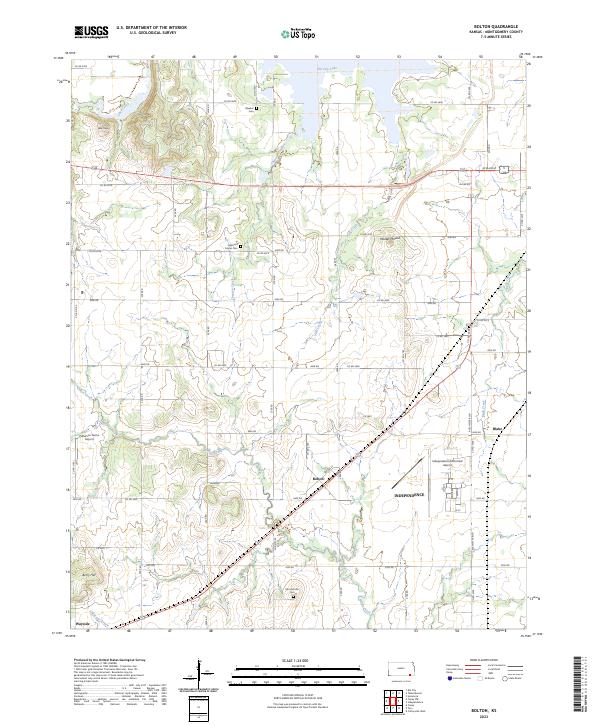 2023 Bolton2023 Print · USGSMontgomery County in the early twenty-first century is a landscape of creek-fed farms and quiet crossroads. Genealogists can trace family roots through Quaker Cem, while researchers can locate settlements like Bolton, Harrisonville, and Blake.
 - 2023 Map of Table Mound, 2023 Print
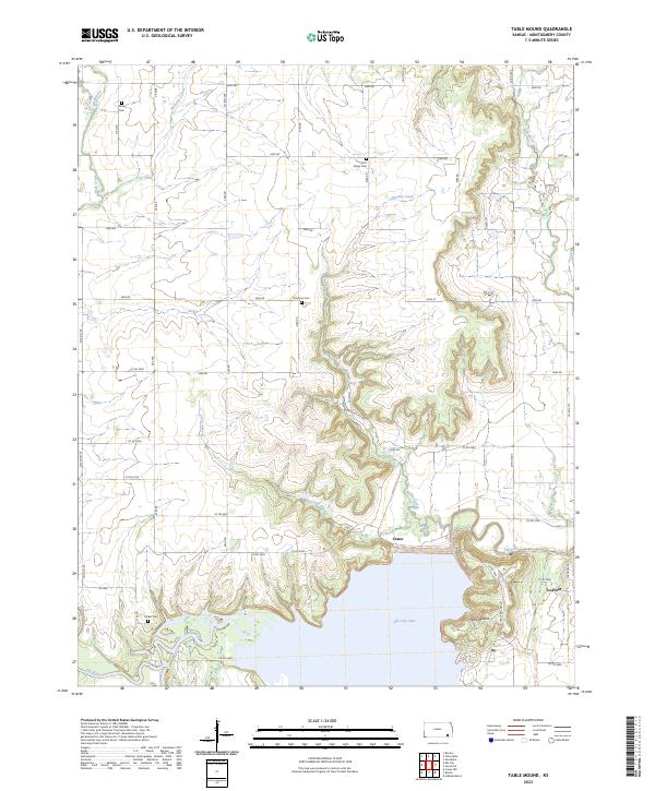 2023 Table Mound2023 Print · USGSMontgomery County, Kansas, is captured here in the early twenty-first century as the landscape centers on the waters of Elk City Lake. Genealogists and local historians can locate early burial sites like Simpson Cem and Farm Ridge Cem or trace the settlement of Le Hunt.
End of results
Showing maps 1-20 of 20
Top cities of Montgomery County
- Coffeyville historical maps
- Independence historical maps
- Cherryvale historical maps
- Caney historical maps
- Sycamore historical maps
- Dearing historical maps
See more
Frequently asked questions
- What are the different types of historical maps available for Montgomery County?
- What is the oldest map of Montgomery County?
- Where can I purchase historical maps of Montgomery County for my home or office?
- Where can I download high-res historical maps of Montgomery County?
- Are there historical topographic maps available for Montgomery County?
- Is there historical aerial imagery available for Montgomery County?
- Where are historical maps of Montgomery County sourced from?