Old Maps of Independence, Kansas for Academic Research
Study the evolution of Independence with 28 high-resolution historic maps. Whether you're teaching, researching, or modeling changes in land use, these maps provide essential visual documentation of urban, environmental, and geographic change.
- Analyze long-term change: Track patterns in development, transportation, and natural features.
- Ideal for environmental or urban studies: Support academic projects with primary historical map data.
- Use in the classroom or lab: Educators and researchers rely on these maps to bring historical context to life.
These maps are a powerful tool for teaching, research, and visualizing how Independence has changed over the decades.
Independence, KS maps
(28)- 1886 Map of Independence
 1886 Independence1886 Print · USGSSoutheastern Kansas is captured here in the mid-1880s as the railroad network began to reshape the prairie landscape. Genealogists and researchers can trace the early foundations of Independence, Cherryvale, and Coffeyville, or locate smaller places like Radical City and La Fontaine.
 - 1894 Map of Independence
 1894 Independence1894 Print · USGSSoutheast Kansas comes alive in the late nineteenth century as a major railroad junction before the turn of the century. Genealogists and historians can trace early settlements like Radical City, Sternerton, and Harrisonville, or locate family sites near Table Mound.
 - 1905 Map of Independence
 1905 Independence1905 Print · USGSSoutheastern Kansas at the turn of the century is a landscape of expanding rail-hubs and river commerce. Genealogists can trace early homesteads and rail-stops like Lafontaine, Havana, and Sycamore, or locate family landmarks near Table Mound and the Verdigris River.4 unique versions available
 - 1947 Map of Joplin, 1954 Print
 1947 Joplin1954 Print · USGSThe borderlands of Missouri, Kansas, and Oklahoma are shown here during the late 1940s, a period of heavy industrial and military activity. Researchers can trace the extensive Tri-State Mining District, the layout of Camp Crowder, and local landmarks like Mount Hope Cem.
 - 1949 Map of Joplin
 1949 Joplin1949 Print · USGSThe Kansas-Missouri borderlands thrive in the late 1940s, showing a robust network of railroad towns and river valleys. Researchers can trace historic rail lines like the Missouri Pacific RR and locate rural centers such as Chanute, Iola, and Fort Scott.
 - 1954 Map of Joplin, 1967 Print
 1954 Joplin1967 Print · USGSThe tri-state border region of Kansas, Missouri, and Oklahoma is captured here during a peak era of mid-century industrial and agricultural activity. Researchers can trace family history through dozens of rural cemeteries or locate landmarks like the Kansas Army Ammunition Plant and Pittsburg State University.3 unique versions available
 - 1958 Map of Joplin
 1958 Joplin1958 Print · USGSThe tri-state border region of Missouri, Kansas, and Oklahoma is shown during the late fifties, a time of heavy rail traffic and mining activity. Local historians can trace the industrial landscape through the Joplin & Pittsburg Ry or locate family sites like Zion Ch and Bender Mounds.
 - 1959 Map of Joplin
 1959 Joplin1959 Print · USGSThe Tri-State region’s mining and rail-driven economy is on full display in the late fifties. Genealogists can locate Lead and Zinc Mines near Joplin, family markers at Oak Hill Cem, and military history at Camp Clark.
 - 1959 Map of Bolton
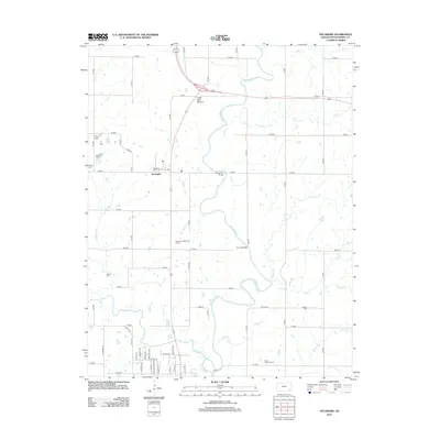
 1959 Bolton1959 Print · USGSSoutheast Kansas in the late fifties was a landscape defined by its petroleum wealth and deep-rooted rural communities. Researchers can trace the oil fields of Rutland, locate family plots at Highland Center Cem, or find old school sites like Oak Ridge Sch.3 unique versions available
 - 1959 Map of Sycamore, 1960 Print
 1959 Sycamore1960 Print · USGSMontgomery County was a hive of rail traffic and river activity at the close of the 1950s. Researchers can trace rural life through the locations of the Chateau Chapel, numerous local cemeteries like Radical Cem, and old schoolhouses including Gravel Hill Sch.3 unique versions available
 - 1959 Map of Independence, 1960 Print
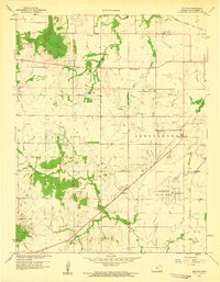
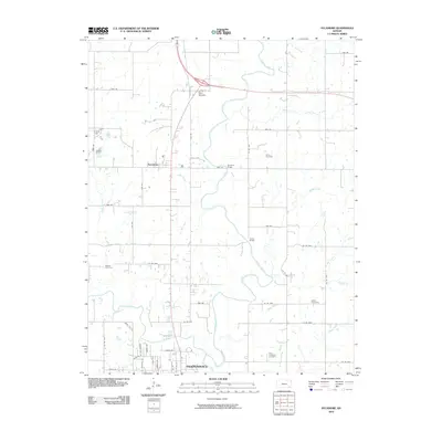
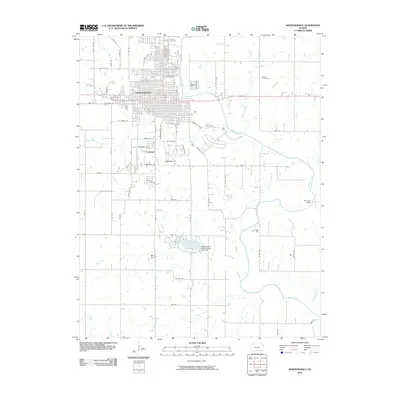
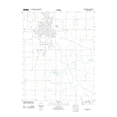
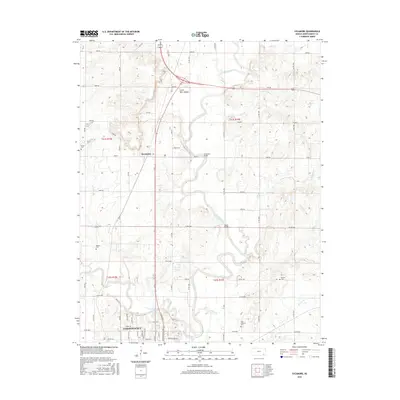
 1959 Independence1960 Print · USGSIndependence and the surrounding Montgomery County countryside are shown here at the close of the 1950s as a thriving rail and agricultural hub. Researchers can locate numerous vanished country schools like Morgantown Sch and family landmarks near the Verdigris River.2 unique versions available
 - 1985 Map of Coffeyville
 1985 Coffeyville1985 Print · USGSSoutheast Kansas in the mid-eighties shows a landscape of river-valley agriculture and heavy industry anchored by the rail hubs of Independence and Coffeyville. Genealogists and historians can trace rail lines like the Missouri Kansas Texas RR and locate sites like Fairview Cemetery or the Kansas Army Ammunition Plant.
 - 1990 Map of Coffeyville
 1990 Coffeyville1990 Print · USGSSoutheast Kansas in the late twentieth century is defined by its industrial sites and river valley rail hubs. Genealogists and historians can trace the infrastructure of the Army Ammunition Plant, the local graves at Fairview Cemetery, and the extensive Strip Mine operations.
 - 2010 Map of Sycamore, 2010 Print
 2010 Sycamore2010 Print · USGSCovers Independence, including Sycamore, Montgomery County, and other nearby areas
 - 2010 Map of Independence, 2010 Print
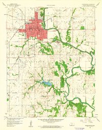
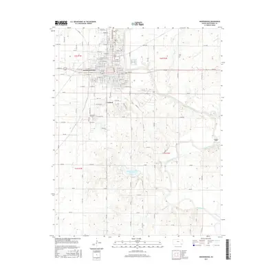
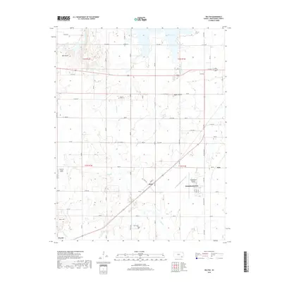
 2010 Independence2010 Print · USGSCovers Independence, including Fruitland, Montgomery County, and other nearby areas
 - 2010 Map of Bolton, 2010 Print
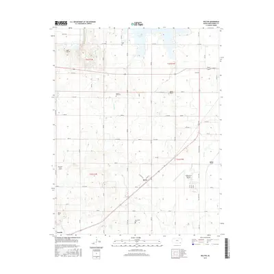
 2010 Bolton2010 Print · USGSCovers Independence, including Blake, Bolton, and other nearby areas
 - 2012 Map of Bolton, 2012 Print
 2012 Bolton2012 Print · USGSCovers Independence, including Blake, Bolton, and other nearby areas
 - 2012 Map of Independence, 2012 Print
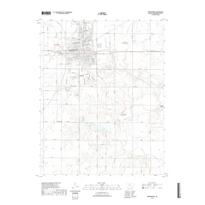
 2012 Independence2012 Print · USGSCovers Independence, including Fruitland, Montgomery County, and other nearby areas
 - 2012 Map of Sycamore, 2012 Print
 2012 Sycamore2012 Print · USGSCovers Independence, including Sycamore, Montgomery County, and other nearby areas
 - 2015 Map of Bolton, 2015 Print
 2015 Bolton2015 Print · USGSCovers Independence, including Blake, Bolton, and other nearby areas
 - 2015 Map of Independence, 2015 Print
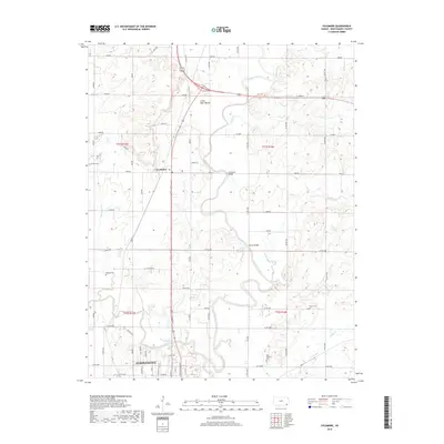
 2015 Independence2015 Print · USGSCovers Independence, including Fruitland, Montgomery County, and other nearby areas
 - 2016 Map of Sycamore, 2016 Print
 2016 Sycamore2016 Print · USGSCovers Independence, including Sycamore, Montgomery County, and other nearby areas
 - 2018 Map of Bolton, 2018 Print
 2018 Bolton2018 Print · USGSCovers Independence, including Blake, Bolton, and other nearby areas
 - 2018 Map of Independence, 2018 Print
 2018 Independence2018 Print · USGSCovers Independence, including Fruitland, Montgomery County, and other nearby areas
 - 2018 Map of Sycamore, 2018 Print
 2018 Sycamore2018 Print · USGSCovers Independence, including Sycamore, Montgomery County, and other nearby areas
Showing maps 1-25 of 28
Top cities near Independence
- Parsons historical maps
- Coffeyville historical maps
- Neodesha historical maps
- Cherryvale historical maps
- Caney historical maps
- Sycamore historical maps
See more
Frequently asked questions
- What are the different types of historical maps available for Independence?
- What is the oldest map of Independence?
- Where can I purchase historical maps of Independence for my home or office?
- Where can I download high-res historical maps of Independence?
- Are there historical topographic maps available for Independence?
- Is there historical aerial imagery available for Independence?
- Where are historical maps of Independence sourced from?