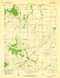
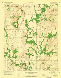
1959 Map of Bolton
USGS Topo · Published 1959About this map
The petroleum landscape of southeast Kansas is clearly defined across Rutland and Independence townships, where extensive oil fields and numerous oil wells dot the prairie. The Atchison Topeka and Santa Fe railroad cuts diagonally across the terrain, passing through the settlement of Bolton and connecting this rural industrial zone to larger markets. Prominent landforms like Timber Hill, Bald Mound, and Walker Mound break the horizon, providing natural landmarks in a region increasingly shaped by human development.
Find a feature on this map
31 named features on this map. Tap any name to fly to it.
Don’t see what you’re looking for? This feature index may not catch every label — zoom into the map to look around manually.
Map Details
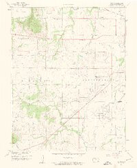
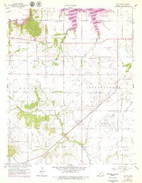
Editions of this 1959 Bolton Map
3 editions found
Other maps of this area

1886 · Independence
USGS Topo · 1:125,000

1894 · Independence
USGS Topo · 1:125,000

1905 · Independence
USGS Topo · 1:125,000

1947 · Joplin
USGS Topo · 1:250,000

1949 · Joplin
USGS Topo · 1:250,000

1954 · Joplin
USGS Topo · 1:250,000

1958 · Joplin
USGS Topo · 1:250,000
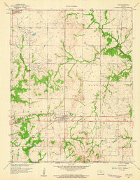
1959 · Tyro
USGS Topo · 1:24,000

1959 · Joplin
USGS Topo · 1:250,000
1959 · Sycamore
USGS Topo · 1:24,000