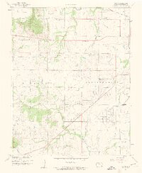
1959 Map of Bolton
USGS Topo · Published 1959About this map
Oil production and agricultural land dominate this landscape in southeastern Kansas, where the Rutland and Independence townships meet. The map reveals an extensive network of Oil Wells scattered across the Oil Field, particularly south of the Elk River. Small rural centers are defined by local institutions like Oak Ridge Sch and Highland Center Cem, which served the farming and oil-working families of the mid-20th century. The transportation infrastructure of the era is anchored by the Atchison Topeka and Santa Fe and Missouri Pacific railroads, which facilitated the movement of goods and people through the region. At the edge of the survey, the Independence Municipal Airport stands as a modern landmark of the late 1950s, while terrain features like Timber Hill and Walker Mound break the rolling plains near Chetopa Creek.
Find a feature on this map
33 named features on this map. Tap any name to fly to it.
Don’t see what you’re looking for? This feature index may not catch every label — zoom into the map to look around manually.
Map Details
Editions of this 1959 Bolton Map
3 editions found
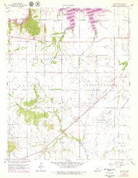
Other maps of this area

1886 · Independence
USGS Topo · 1:125,000

1894 · Independence
USGS Topo · 1:125,000

1905 · Independence
USGS Topo · 1:125,000

1947 · Joplin
USGS Topo · 1:250,000

1949 · Joplin
USGS Topo · 1:250,000

1954 · Joplin
USGS Topo · 1:250,000

1958 · Joplin
USGS Topo · 1:250,000
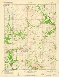
1959 · Tyro
USGS Topo · 1:24,000

1959 · Joplin
USGS Topo · 1:250,000
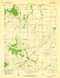
1959 · Bolton
USGS Topo · 1:24,000