Old Maps of Diamond Springs, Kansas for Genealogy
Trace your family roots with 11 historic maps of Diamond Springs. These high-res maps reveal old neighborhoods, homesites, landmarks, and streets — helping you uncover where your ancestors lived and how the area evolved over time.
- Explore historic neighborhoods: Identify where your relatives may have lived in the 1800s or 1900s.
- Compare maps over time: Trace the changes in streets, buildings, and landmarks for multi-generational research.
- Perfect for genealogy & ancestry research: Used by family historians and researchers to map out lineage and migration.
These maps are an incredible resource for exploring your personal connection to Diamond Springs's past.
Diamond Springs, KS maps
(11)- 1889 Map of Parkerville
 1889 Parkerville1889 Print · USGSMorris and Marion County townships appear here during the great western rail boom. Genealogists and historians can trace the early layouts of Parkerville, White City, and Herrington along the Chicago Kansas and Nebraska Railroad.
 - 1894 Map of Parkerville
 1894 Parkerville1894 Print · USGSEastern Kansas at the height of the steam era shows a landscape transformed by competing rail lines and growing prairie towns. Genealogists and historians can trace early settlements like White City, Parkerville, and the riverside hub of Council Grove.6 unique versions available
 - 1955 Map of Hutchinson, 1967 Print
 1955 Hutchinson1967 Print · USGSCentral Kansas in the mid-sixties reveals a landscape of growing reservoirs and evolving transportation corridors. Trace the development of towns like Hutchinson and Abilene alongside the Union Pacific Railroad and the expanding Interstate 70.3 unique versions available
 - 1959 Map of Hutchinson
 1959 Hutchinson1959 Print · USGSCentral Kansas thrives at the intersection of rail and river in the mid-1950s, as post-war aviation infrastructure reshapes the prairie. Genealogists and historians can trace the paths of the AT&SF RR through Newton and Hutchinson, or locate military sites like Smoky Hill Air Force Base.2 unique versions available
 - 1972 Map of Diamond Springs, 1974 Print
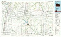
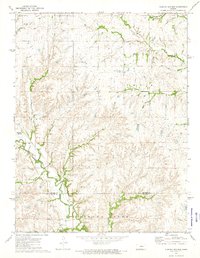 1972 Diamond Springs1974 Print · USGSThe Flint Hills region of central Kansas comes into focus in the early 1970s as railroads and winding creeks define the rural landscape. Genealogists and researchers can trace family roots near Diamond Creek Cem or follow the historic rail lines of the Atchison Topeka and Santa Fe.
 - 1985 Map of Council Grove
 1985 Council Grove1985 Print · USGSThe Flint Hills region of Kansas thrives in the mid-1980s as a vital crossroads for major rail lines and prairie water systems. Researchers can trace the path of the Atchison Topeka and Santa Fe through small towns like Hope and Burdick or locate landmarks like Lake Kahola.2 unique versions available
 - 2009 Map of Diamond Springs, 2009 Print
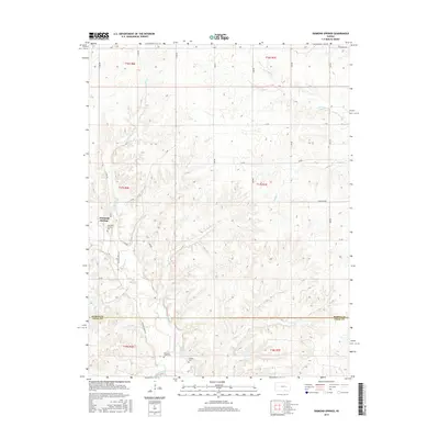
 2009 Diamond Springs2009 Print · USGSCovers Diamond Springs, including Morris County, Chase County, and other nearby areas
 - 2012 Map of Diamond Springs, 2012 Print
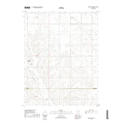
 2012 Diamond Springs2012 Print · USGSCovers Diamond Springs, including Morris County, Chase County, and other nearby areas
 - 2015 Map of Diamond Springs, 2015 Print
 2015 Diamond Springs2015 Print · USGSCovers Diamond Springs, including Morris County, Chase County, and other nearby areas
 - 2018 Map of Diamond Springs, 2018 Print
 2018 Diamond Springs2018 Print · USGSCovers Diamond Springs, including Morris County, Chase County, and other nearby areas
 - 2022 Map of Diamond Springs, 2022 Print
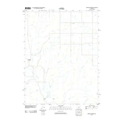
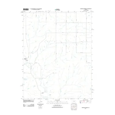
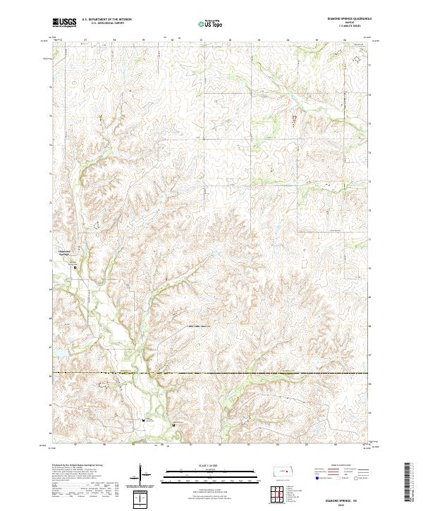 2022 Diamond Springs2022 Print · USGSThe Morris and Chase county line is captured in the early 2020s, showing a traditional Kansas landscape of creek-fed prairie and rural roads. Genealogists and historians can locate family plots at the Diamond Springs Cem or trace the winding path of Diamond Cr.
End of results
Showing maps 1-11 of 11
Top cities near Diamond Springs
- Herington historical maps
- Cottonwood Falls historical maps
- Strong City historical maps
- Lincolnville historical maps
- Wilsey historical maps
- Parkerville historical maps
See more
Frequently asked questions
- What are the different types of historical maps available for Diamond Springs?
- What is the oldest map of Diamond Springs?
- Where can I purchase historical maps of Diamond Springs for my home or office?
- Where can I download high-res historical maps of Diamond Springs?
- Are there historical topographic maps available for Diamond Springs?
- Is there historical aerial imagery available for Diamond Springs?
- Where are historical maps of Diamond Springs sourced from?