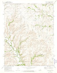
1972 Map of Diamond Springs
USGS Topo · Published 1974About this map
Diamond Springs and the surrounding drainage of the Cottonwood River valley define this rural landscape along the border of Morris and Chase Counties in the early 1970s. The settlement pattern is anchored by the historic routes of the Atchison Topeka and Santa Fe and Missouri Pacific railroads, which parallel the winding courses of Dodds Creek and Diamond Creek. These waterways, along with tributaries like Schaffer Creek and Paddy Creek, carve through the Flint Hills terrain, creating a network of ridges and draws marked by numerous exploratory drill holes.
Find a feature on this map
16 named features on this map. Tap any name to fly to it.
Don’t see what you’re looking for? This feature index may not catch every label — zoom into the map to look around manually.
Map Details
Editions of this 1972 Diamond Springs Map
This is the sole edition of this map. No revisions or reprints were ever made.
Other maps of this area

1889 · Parkerville
USGS Topo · 1:125,000

1894 · Parkerville
USGS Topo · 1:125,000

1898 · Cottonwood Falls
USGS Topo · 1:125,000

1955 · Hutchinson
USGS Topo · 1:250,000

1957 · Strong City
USGS Topo · 1:24,000

1957 · Hymer
USGS Topo · 1:24,000

1959 · Hutchinson
USGS Topo · 1:250,000

1970 · Lincolnville NE
USGS Topo · 1:24,000
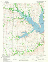
1971 · Council Grove Lake
USGS Topo · 1:24,000

1972 · Wilsey
USGS Topo · 1:24,000