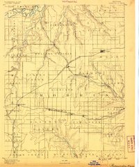
1889 Map of Parkerville
USGS Topo · Published 1889About this map
Rolling Prairie and high tablelands define this corner of Kansas in the mid-1880s, where a dense network of iron rails was rapidly reshaping the livestock and wheat economy. The Chicago Kansas and Nebraska Railroad cuts a diagonal path across the landscape, intersecting with the Missouri Pacific Railroad at White City. This period of expansion saw the rise of numerous shipping points and small hubs like Parkerville, Skiddy, and Herrington.
Find a feature on this map
69 named features on this map. Tap any name to fly to it.
Don’t see what you’re looking for? This feature index may not catch every label — zoom into the map to look around manually.
Map Details
Editions of this 1889 Parkerville Map
This is the sole edition of this map. No revisions or reprints were ever made.
Other maps of this area
1885 · Eskridge
USGS Topo · 1:125,000
1886 · Junction City
USGS Topo · 1:125,000
1888 · Emporia
USGS Topo · 1:125,000
1889 · Newton
USGS Topo · 1:125,000
1889 · Wamego
USGS Topo · 1:125,000
1889 · Junction City
USGS Topo · 1:125,000
1889 · Abilene
USGS Topo · 1:125,000
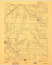
1889 · Eskridge
USGS Topo · 1:125,000
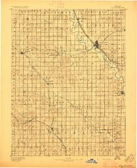
1891 · Clay Center
USGS Topo · 1:125,000
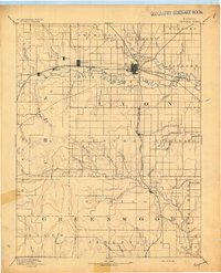
1894 · Emporia
USGS Topo · 1:125,000