2000s (21st Century) Maps of Mulvane, Kansas
Explore 15 historic maps of Mulvane from the 2000s (21st Century). These maps offer a rare glimpse into what life looked like during the 2000s — showing old roads, neighborhoods, homes, and landmarks that have changed or disappeared over time.
Whether you're researching your family's past, planning a metal detecting trip, or studying how Mulvane's landscape evolved across the 2000s, these high-resolution maps are a powerful tool for exploring the history of this region.
- Focus on a specific era: All maps on this page are from the 2000s, giving you a focused view of this time period.
- See what’s changed: Compare century-old streets, trails, and buildings to today's modern landscape using overlays and satellite layers.
- Research with precision: Use these maps for genealogy, historical research, land use analysis, or educational projects.
- View, download, or print: Maps are fully viewable online in high resolution, and can be downloaded or printed for your own records.
Start exploring Mulvane's history through authentic maps from the 2000s. This is your window into the past.
Mulvane, KS maps
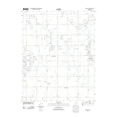
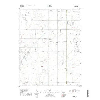
(15)- 2009 Map of Rose Hill, 2009 Print
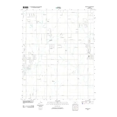 2009 Rose Hill2009 Print · USGSCovers Mulvane, including Wichita, Derby, and other nearby areas
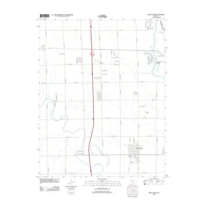
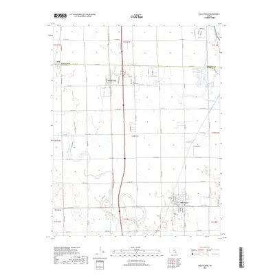
 - 2010 Map of Belle Plaine, 2010 Print
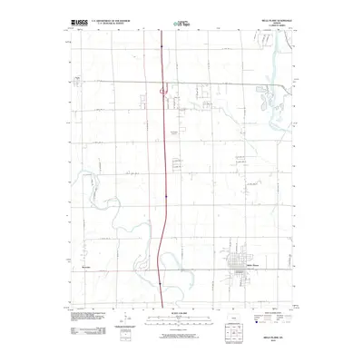 2010 Belle Plaine2010 Print · USGSCovers Mulvane, including Belle Plaine, Peck, and other nearby areas
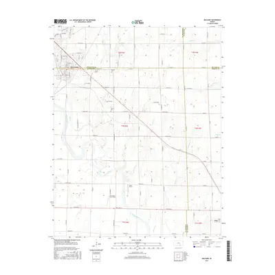
 - 2010 Map of Mulvane, 2010 Print
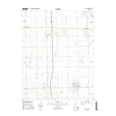
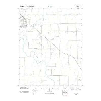 2010 Mulvane2010 Print · USGSCovers Mulvane, including Udall, Sedgwick County, and other nearby areas
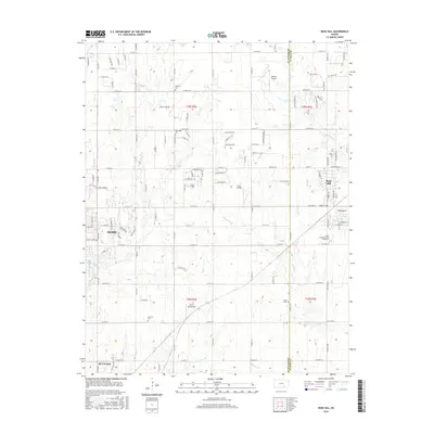
 - 2012 Map of Mulvane, 2012 Print
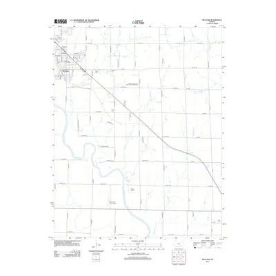 2012 Mulvane2012 Print · USGSCovers Mulvane, including Udall, Sedgwick County, and other nearby areas
 - 2012 Map of Rose Hill, 2012 Print
 2012 Rose Hill2012 Print · USGSCovers Mulvane, including Wichita, Derby, and other nearby areas
 - 2012 Map of Belle Plaine, 2012 Print
 2012 Belle Plaine2012 Print · USGSCovers Mulvane, including Belle Plaine, Peck, and other nearby areas
 - 2015 Map of Mulvane, 2015 Print
 2015 Mulvane2015 Print · USGSCovers Mulvane, including Udall, Sedgwick County, and other nearby areas
 - 2015 Map of Rose Hill, 2015 Print
 2015 Rose Hill2015 Print · USGSCovers Mulvane, including Wichita, Derby, and other nearby areas
 - 2015 Map of Belle Plaine, 2015 Print
 2015 Belle Plaine2015 Print · USGSCovers Mulvane, including Belle Plaine, Peck, and other nearby areas
 - 2018 Map of Rose Hill, 2018 Print
 2018 Rose Hill2018 Print · USGSCovers Mulvane, including Wichita, Derby, and other nearby areas
 - 2018 Map of Belle Plaine, 2018 Print
 2018 Belle Plaine2018 Print · USGSCovers Mulvane, including Belle Plaine, Peck, and other nearby areas
 - 2018 Map of Mulvane, 2018 Print
 2018 Mulvane2018 Print · USGSCovers Mulvane, including Udall, Sedgwick County, and other nearby areas
 - 2022 Map of Mulvane, 2022 Print
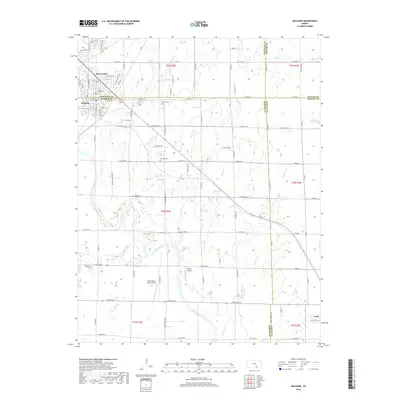
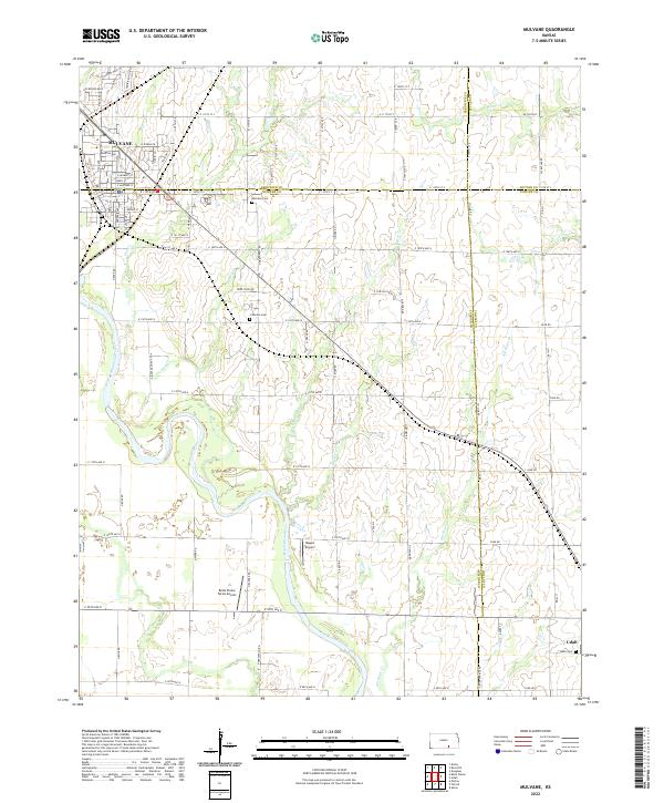 2022 Mulvane2022 Print · USGSThe Arkansas River valley near the Sumner and Cowley county lines is shown here in the early twenty-first century. Genealogists and local historians can trace family locations near Mulvane Cem, Littleton Cem, and the rural settlement of Udall.
 - 2022 Map of Rose Hill, 2022 Print
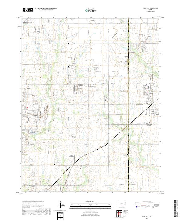 2022 Rose Hill2022 Print · USGSSoutheast of Wichita in the early 2020s, this area shows the steady expansion of Rose Hill and the fringes of Derby. Genealogists and local researchers can trace family plots at Eastridge Cemetery or locate landmarks like the Butler Community College - Rose Hill Campus.
 - 2022 Map of Belle Plaine, 2022 Print
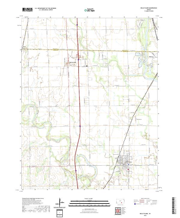 2022 Belle Plaine2022 Print · USGSSumner and Sedgwick Counties meet along the river valleys of southern Kansas in this modern study. Genealogists and local historians can trace family locations near Belle Plaine Cem, the growing grid of Mulvane, and the banks of the Ninnescah River.
End of results
Showing maps 1-15 of 15
Top cities near Mulvane
- Wichita historical maps
- Derby historical maps
- Winfield historical maps
- Haysville historical maps
- Andover historical maps
- Augusta historical maps
See more
Frequently asked questions
- What are the different types of historical maps available for Mulvane?
- What is the oldest map of Mulvane?
- Where can I purchase historical maps of Mulvane for my home or office?
- Where can I download high-res historical maps of Mulvane?
- Are there historical topographic maps available for Mulvane?
- Is there historical aerial imagery available for Mulvane?
- Where are historical maps of Mulvane sourced from?