2022 Map of Belle Plaine
USGS Topo · Published 2022About this map
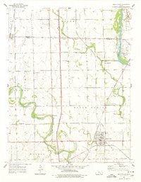
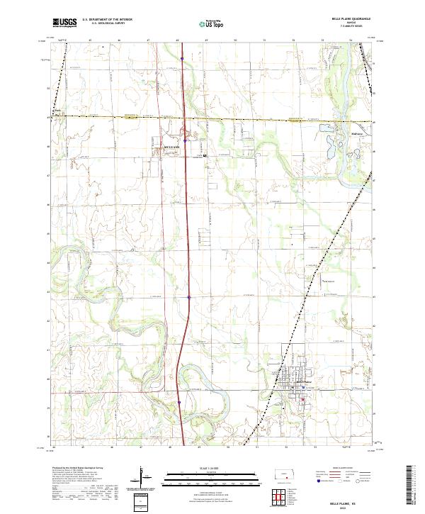
The Ninnescah River meanders across this landscape, converging with the larger Arkansas River corridor at the eastern edge of the survey. The community of Belle Plaine anchors the southern portion of the map, established near the riverbanks and the Belle Plaine Cem. Further north, the city of Mulvane straddles the border between Sedgwick and Sumner Counties, showing a modern grid that includes the Kansas Star Dr development. Rural aviation history is represented by Rands Airport, situated between the major river systems. The transition between the prairie and the river valleys is marked by local landmarks like the Prairie Garden Cem and the unique drainage of the Cowskin Cr Cutoff, while the small settlement of Peck sits at the northwestern boundary.
Find a feature on this map
59 named features on this map. Tap any name to fly to it.
Don’t see what you’re looking for? This feature index may not catch every label — zoom into the map to look around manually.
Map Details
Editions of this 2022 Belle Plaine Map
This is the sole edition of this map. No revisions or reprints were ever made.