2000s (21st Century) Maps of Olivet, Kansas
Explore 10 historic maps of Olivet from the 2000s (21st Century). These maps offer a rare glimpse into what life looked like during the 2000s — showing old roads, neighborhoods, homes, and landmarks that have changed or disappeared over time.
Whether you're researching your family's past, planning a metal detecting trip, or studying how Olivet's landscape evolved across the 2000s, these high-resolution maps are a powerful tool for exploring the history of this region.
- Focus on a specific era: All maps on this page are from the 2000s, giving you a focused view of this time period.
- See what’s changed: Compare century-old streets, trails, and buildings to today's modern landscape using overlays and satellite layers.
- Research with precision: Use these maps for genealogy, historical research, land use analysis, or educational projects.
- View, download, or print: Maps are fully viewable online in high resolution, and can be downloaded or printed for your own records.
Start exploring Olivet's history through authentic maps from the 2000s. This is your window into the past.
Olivet, KS maps
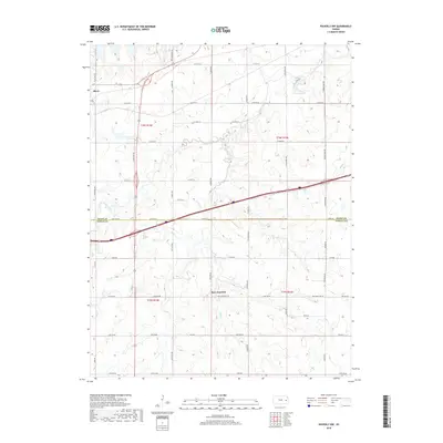
(10)- 2009 Map of Waverly NW, 2009 Print
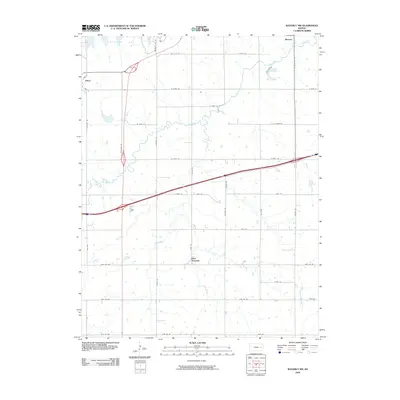 2009 Waverly NW2009 Print · USGSCovers Olivet, including Beto Junction, Osage County, and other nearby areas
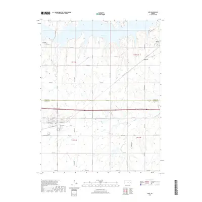
 - 2009 Map of Lebo, 2009 Print
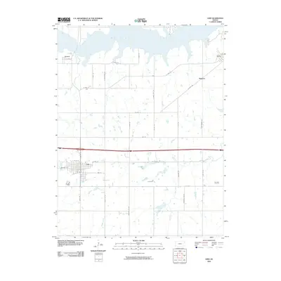 2009 Lebo2009 Print · USGSCovers Olivet, including Lebo, Arvonia, and other nearby areas
 - 2012 Map of Lebo, 2012 Print
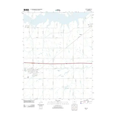 2012 Lebo2012 Print · USGSCovers Olivet, including Lebo, Arvonia, and other nearby areas
 - 2012 Map of Waverly NW, 2012 Print
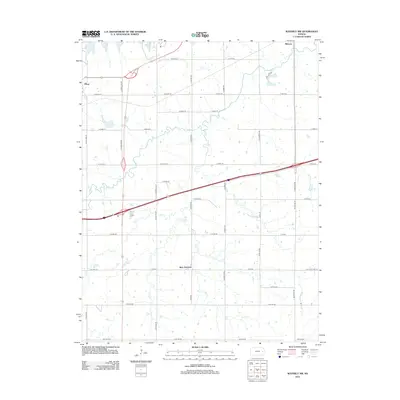 2012 Waverly NW2012 Print · USGSCovers Olivet, including Beto Junction, Osage County, and other nearby areas
 - 2015 Map of Lebo, 2015 Print
 2015 Lebo2015 Print · USGSCovers Olivet, including Lebo, Arvonia, and other nearby areas
 - 2016 Map of Waverly NW, 2016 Print
 2016 Waverly NW2016 Print · USGSCovers Olivet, including Beto Junction, Osage County, and other nearby areas
 - 2018 Map of Waverly NW, 2018 Print
 2018 Waverly NW2018 Print · USGSCovers Olivet, including Beto Junction, Osage County, and other nearby areas
 - 2018 Map of Lebo, 2018 Print
 2018 Lebo2018 Print · USGSCovers Olivet, including Lebo, Arvonia, and other nearby areas
 - 2022 Map of Waverly NW, 2022 Print
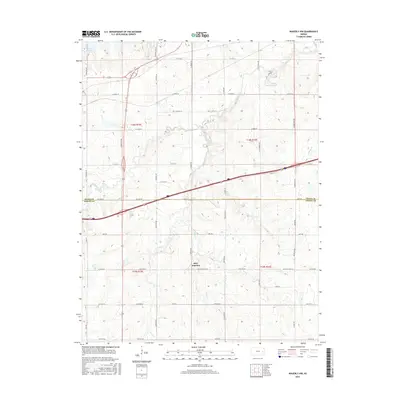
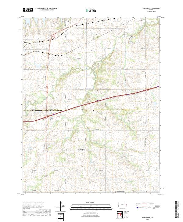 2022 Waverly NW2022 Print · USGSOsage County prairie and the community of Melvern are captured here during a time of modern rural expansion. Genealogists and historians can trace property boundaries across T18S R16E or locate the crossroads at Beto Junction and Olivet.
 - 2022 Map of Lebo, 2022 Print
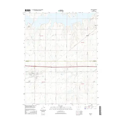
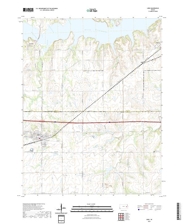 2022 Lebo2022 Print · USGSThe borderlands of Coffey and Osage Counties are captured here in the early twenty-first century, centered on the community of Lebo. Researchers can trace the legacy of local families through Lincoln Cem and explore the shoreline of Melvern Lake.
End of results
Showing maps 1-10 of 10
Top cities near Olivet
- Osage City historical maps
- Lyndon historical maps
- Lebo historical maps
- Ottumwa historical maps
- Waverly historical maps
- Hartford historical maps
See more
Frequently asked questions
- What are the different types of historical maps available for Olivet?
- What is the oldest map of Olivet?
- Where can I purchase historical maps of Olivet for my home or office?
- Where can I download high-res historical maps of Olivet?
- Are there historical topographic maps available for Olivet?
- Is there historical aerial imagery available for Olivet?
- Where are historical maps of Olivet sourced from?