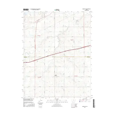
2016 Map of Waverly NW
USGS Topo · Published 2016About this map
Beto Junction serves as the focal point of this Eastern Kansas landscape, marking a significant crossroads where modern transit corridors meet legacy routes. The map documents the rural interface of the Osage Co and Coffey Co border, showing a transition from the structured township and range system to the natural curves of the drainage basin. Water shapes the terrain here, from the northwest corner where the edge of Melvern Lake is visible, to the winding paths of Frog Creek and Long Cr that carve through the prairie. Genealogists and local historians can trace the evolution of travel by comparing the path of Old State Hwy 50 against newer highway alignments, noting how the local road network persists along section lines such as S Lewelling Rd and S Jordan Rd.
Find a feature on this map
54 named features on this map. Tap any name to fly to it.
Don’t see what you’re looking for? This feature index may not catch every label — zoom into the map to look around manually.
Map Details
Editions of this 2016 Waverly NW Map
This is the sole edition of this map. No revisions or reprints were ever made.
Other maps of this area

1885 · Burlington
USGS Topo · 1:125,000

1889 · Burlingame
USGS Topo · 1:125,000

1894 · Burlingame
USGS Topo · 1:125,000

1894 · Burlington
USGS Topo · 1:125,000

1947 · Lawrence
USGS Topo · 1:250,000

1950 · Lawrence
USGS Topo · 1:250,000

1956 · Lawrence
USGS Topo · 1:250,000

1957 · Lebo
USGS Topo · 1:24,000

1957 · Waverly NW
USGS Topo · 1:24,000

1957 · Waverly
USGS Topo · 1:24,000