2000-2009 Maps of Pawnee County, Kansas
Explore 19 historic maps of Pawnee County from 2000-2009. These maps offer a rare glimpse into what life looked like during the 2000s — showing old roads, neighborhoods, homes, and landmarks that have changed or disappeared over time.
Whether you're researching your family's past, planning a metal detecting trip, or studying how Pawnee County's landscape evolved across the 2000s, these high-resolution maps are a powerful tool for exploring the history of this region.
- Focus on a specific era: All maps on this page are from the 2000s, giving you a focused view of this time period.
- See what’s changed: Compare century-old streets, trails, and buildings to today's modern landscape using overlays and satellite layers.
- Research with precision: Use these maps for genealogy, historical research, land use analysis, or educational projects.
- View, download, or print: Maps are fully viewable online in high resolution, and can be downloaded or printed for your own records.
Start exploring Pawnee County's history through authentic maps from the 2000s. This is your window into the past.
Pawnee County, KS maps
(19)- 2009 Map of Pawnee Rock, 2009 Print
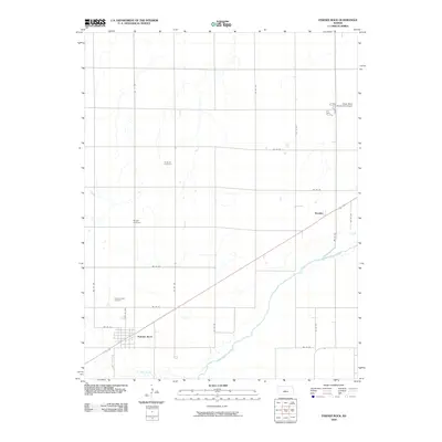 2009 Pawnee Rock2009 Print · USGSBarton County is shown here in the early twenty-first century, defined by its rigid grid of section roads and the winding Arkansas River. Genealogists can trace family footprints through several rural burial sites, including Rockville Cemetery and Bergtal Cemetery.
 - 2009 Map of Sanford, 2009 Print
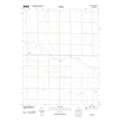 2009 Sanford2009 Print · USGSPawnee County, Kansas, is captured in this 2009 survey as a landscape of meandering river bends and rural energy extraction. Researchers can trace local names and landmarks like Sanford, the Eddy Oil Field, and the crossing at Moffet Bridge.
 - 2009 Map of Belpre NW, 2009 Print
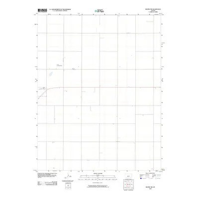 2009 Belpre NW2009 Print · USGSThe Edwards County plains in the early twenty-first century are defined by a precision grid of rural roads and agricultural life. Genealogists and local historians can locate Wayne Cemetery or trace the path of Factory Ave and the Cross Landing Strip.
 - 2009 Map of Saint John SW, 2009 Print
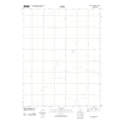 2009 Saint John SW2009 Print · USGSPawnee County at the turn of the millennium shows a landscape defined by expansive agriculture and the gentle curves of Wild Horse Creek. Researchers can trace the rural grid from Saint John Rd to the quiet waters of Little Wild Horse Creek.
 - 2009 Map of Burdett, 2009 Print
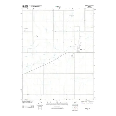 2009 Burdett2009 Print · USGSBurdett and the surrounding Pawnee County plains are documented here at the end of the 2000s. Genealogists and researchers can trace local landmarks like the Eakin Northwest Oil Field, the Pawnee River, and the Burdett Community Airport.
 - 2009 Map of Radium, 2009 Print
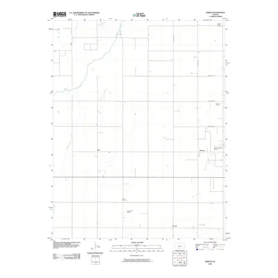 2009 Radium2009 Print · USGSStafford County prairie life and the regional oil industry are captured here in the early twenty-first century. Genealogists and local historians can locate rural landmarks such as Fertig Cemetery, Ray, and the Radium Townsite Oil Field.
 - 2009 Map of Rozel SE, 2009 Print
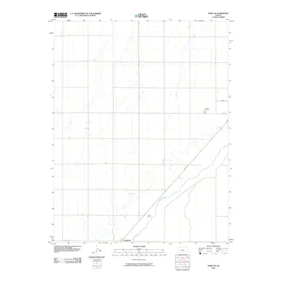 2009 Rozel SE2009 Print · USGSPawnee County's agricultural heartland is documented here in the early twenty-first century, centered on the Arkansas River valley. Researchers can locate the Garfield Cemetery and the settlement at Nettleton while tracing the paths of Coon Creek and US Hwy 183.
 - 2009 Map of Larned, 2009 Print
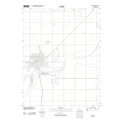 2009 Larned2009 Print · USGSLarned sits at the junction of the Arkansas and Pawnee rivers during the early twenty-first century. Researchers can trace the town's street-level development and locate nearby energy resources like the Larned Oil Field and the Larned-Pawnee County Airport.
 - 2009 Map of Hanston SE, 2009 Print
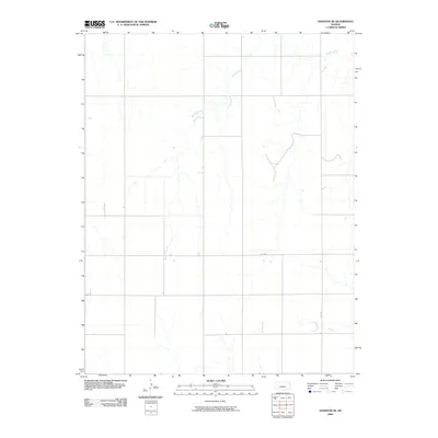 2009 Hanston SE2009 Print · USGSPawnee County agricultural land is captured here during the first decade of the new millennium. Researchers can trace the winding path of Sawmill Creek as it cuts through the rural grid established by routes like Co Rd 6 and Co Rd 7.
 - 2009 Map of Albert SE, 2009 Print
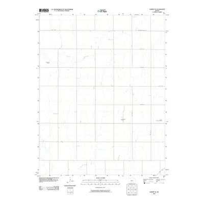 2009 Albert SE2009 Print · USGSBarton County at the turn of the millennium shows a landscape defined by the intersection of high-plains agriculture and the petroleum industry. Researchers can trace the extent of the Rutherford Oil Field and Bergtal Oil and Gas Field along Dry Walnut Creek.
 - 2009 Map of Belpre, 2009 Print
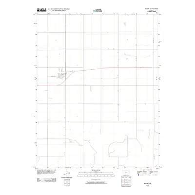 2009 Belpre2009 Print · USGSThe town of Belpre sits at the heart of the Edwards County prairie during the early twenty-first century. Genealogists and local historians can trace the town's street grid from West St to Larned St and follow the path of Wild Horse Creek.
 - 2009 Map of Rush Center SE, 2009 Print
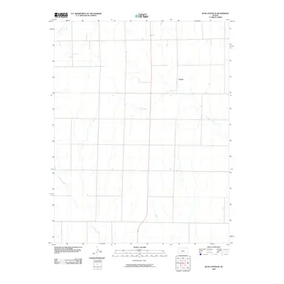 2009 Rush Center SE2009 Print · USGSPawnee County's rural landscape is captured here in the early twenty-first century, showing the enduring agricultural grid and water courses. Researchers can locate the settlement of Vaughn and follow the paths of Ash Creek and Cocklebur Creek across the prairie.
 - 2009 Map of Garfield, 2009 Print
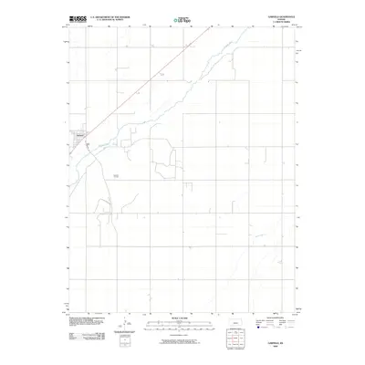 2009 Garfield2009 Print · USGSGarfield and the surrounding prairie are captured here in the early twenty-first century as the local economy balanced agriculture and energy production. Genealogists and local historians can trace the town grid along Pawnee St or locate sites within the Garfield Oil Field and along the Arkansas River.
 - 2009 Map of Ash Valley, 2009 Print
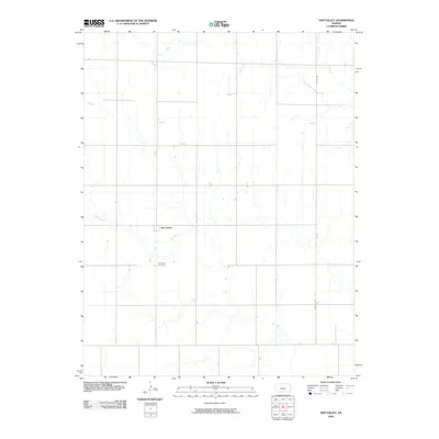 2009 Ash Valley2009 Print · USGSThe Pawnee County plains are documented here during the early 2000s, showcasing a rural landscape defined by large-scale agriculture and intermittent streams. Researchers can locate the Ash Valley Cemetery and trace the paths of Ash Creek and Dry Walnut Creek through the prairie.
 - 2009 Map of Bazine SE, 2009 Print
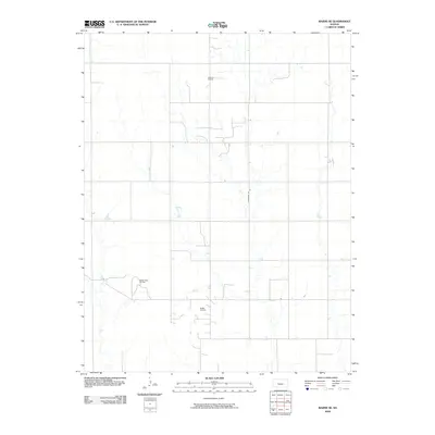 2009 Bazine SE2009 Print · USGSPawnee County at the end of the first decade of the 2000s shows a landscape deeply integrated with the energy industry. Researchers can trace the layout of local infrastructure and mineral extraction sites like Schadel Oil Field and Steffen Oil Field.
 - 2009 Map of Rozel, 2009 Print
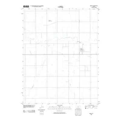 2009 Rozel2009 Print · USGSRozel and the surrounding Pawnee County plains are captured here in the early 2000s, showing a landscape defined by river meanders and rural life. Genealogists and local historians can trace family locations near the Rozel Cemetery or follow the paths of the Pawnee River and Sawmill Creek.
 - 2009 Map of Rush Center SW, 2009 Print
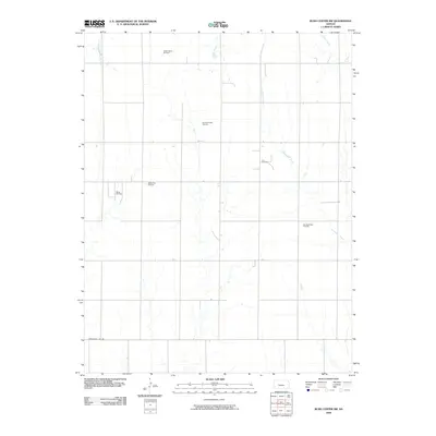 2009 Rush Center SW2009 Print · USGSPawnee County's energy landscape is documented here in the early twenty-first century, showing the intersection of ranching and oil. Researchers can trace the development of the Shiley Oil Field and Oro Oil Field alongside watercourses like Old Maids Fork.
 - 2009 Map of Zook, 2009 Print
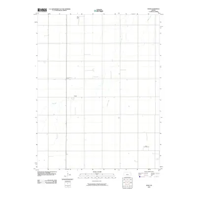 2009 Zook2009 Print · USGSThe rural landscape of Pawnee County comes into focus in this early twenty-first-century survey. Genealogists and historians can trace the small settlement of Zook, locate the Pleasant Valley Cemetery, and find the Benson Oil and Gas Field.
 - 2009 Map of Rozel SW, 2009 Print
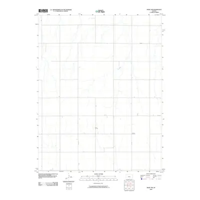 2009 Rozel SW2009 Print · USGSPawnee County's rural heartland is meticulously mapped in this early twenty-first-century survey. Genealogists and local historians can pinpoint the exact locations of the Salem Cemetery and Lutheran Cemetery along the county's established grid roads.
End of results
Showing maps 1-19 of 19
Top cities of Pawnee County
- Larned historical maps
- Burdett historical maps
- Garfield historical maps
- Rozel historical maps
- Ash Valley historical maps
Frequently asked questions
- What are the different types of historical maps available for Pawnee County?
- What is the oldest map of Pawnee County?
- Where can I purchase historical maps of Pawnee County for my home or office?
- Where can I download high-res historical maps of Pawnee County?
- Are there historical topographic maps available for Pawnee County?
- Is there historical aerial imagery available for Pawnee County?
- Where are historical maps of Pawnee County sourced from?