1900s (20th Century) Maps of Pawnee County, Kansas
Explore 28 historic maps of Pawnee County from the 1900s (20th Century). These maps offer a rare glimpse into what life looked like during the 1900s — showing old roads, neighborhoods, homes, and landmarks that have changed or disappeared over time.
Whether you're researching your family's past, planning a metal detecting trip, or studying how Pawnee County's landscape evolved across the 1900s, these high-resolution maps are a powerful tool for exploring the history of this region.
- Focus on a specific era: All maps on this page are from the 1900s, giving you a focused view of this time period.
- See what’s changed: Compare century-old streets, trails, and buildings to today's modern landscape using overlays and satellite layers.
- Research with precision: Use these maps for genealogy, historical research, land use analysis, or educational projects.
- View, download, or print: Maps are fully viewable online in high resolution, and can be downloaded or printed for your own records.
Start exploring Pawnee County's history through authentic maps from the 1900s. This is your window into the past.
Pawnee County, KS maps
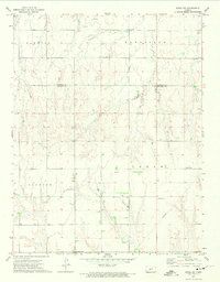
(28)- 1955 Map of Great Bend, 1966 Print
 1955 Great Bend1966 Print · USGSCentral Kansas during the mid-sixties transition reveals a landscape defined by new reservoirs and enduring rail corridors. Researchers can trace the development of towns like Hays and Great Bend or locate natural landmarks such as Round Mound and the wetlands of the Quivira National Wildlife Refuge.3 unique versions available
 - 1955 Map of Pratt, 1968 Print
 1955 Pratt1968 Print · USGSSouth-central Kansas during the mid-fifties presents a landscape of sprawling oil fields and critical rail junctions. Researchers can trace the paths of the Atchison Topeka and Santa Fe railroad or locate local landmarks like the Blue Ridge Community House and Camp Carlisle.3 unique versions available
 - 1957 Map of Great Bend
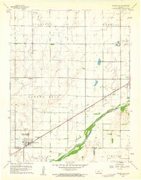
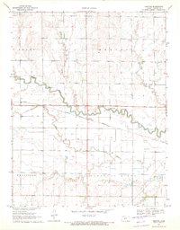
 1957 Great Bend1957 Print · USGSCentral Kansas at the peak of the postwar era shows a landscape of growing rail hubs and massive new water projects. Trace the routes of the Union Pacific through Hays or locate the newly formed shorelines of Cedar Bluff Reservoir and Kanopolis Reservoir.
 - 1958 Map of Great Bend
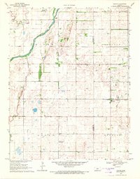
 1958 Great Bend1958 Print · USGSCentral Kansas in the late fifties reveals a landscape of high-plains agriculture and vital river crossings. Researchers can trace the development of regional hubs like Hays and Russell, or locate historic sites such as Fort Larned and the Cheyenne Bottoms wildlife area.2 unique versions available
 - 1959 Map of Pratt
 1959 Pratt1959 Print · USGSSouth-central Kansas thrived as a rail and agricultural hub in the late fifties, where the Arkansas River meets a vast grid of section roads. Researchers can trace the path of the Missouri Pacific railroad through settlements like Turon and Stafford, or locate family landmarks like the Prairie Oak School.2 unique versions available
 - 1960 Map of Pawnee Rock, 1961 Print
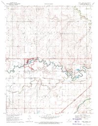
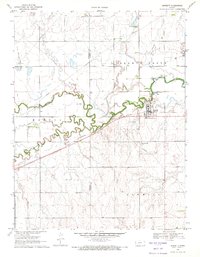
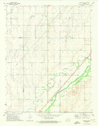
 1960 Pawnee Rock1961 Print · USGSThe Kansas river valley near Pawnee Rock was a landscape of rail-driven transit and early oil exploration in the 1960s. Genealogists and historians can locate rural landmarks like Bergtal Ch, the namesake Pawnee Rock State Park, and the tracks of the Atchison Topeka and Santa Fe.2 unique versions available
 - 1969 Map of Radium, 1971 Print
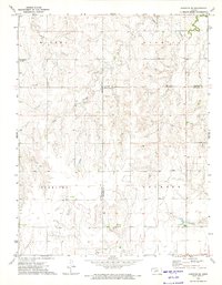
 1969 Radium1971 Print · USGSStafford and Pawnee counties during the late sixties show a prairie landscape shaped by the Missouri Pacific railroad and early oil exploration. Genealogists can locate family sites near Pleasant Ridge Cem or trace the development of the Radium Townsite.
 - 1970 Map of Fort Larned, 1971 Print
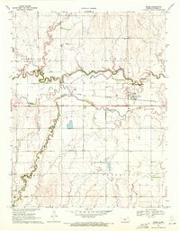
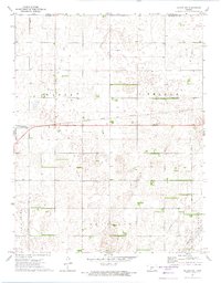
 1970 Fort Larned1971 Print · USGSPawnee County is captured in the early 1970s as a landscape shaped by historical preservation and institutional growth along the river. Trace the grounds of the Fort Larned National Historic Site and the rail-side settlements of Frizell and Hamburg.
 - 1970 Map of Rozel, 1971 Print
 1970 Rozel1971 Print · USGSPawnee County farming communities thrive along the river valleys in the early seventies. Genealogists and local historians can trace the town of Rozel, the Rozel Cem, and the regional influence of the Atchison Topeka and Santa Fe railroad.
 - 1970 Map of Sanford, 1971 Print
 1970 Sanford1971 Print · USGSPawnee County's agricultural and rail corridor is captured here in the early seventies, centered on the Pawnee River. Trace local genealogy and land use through the settlement at Sanford, the Bert-Wettar site, and landmarks like Moffet Bridge.
 - 1970 Map of Burdett, 1971 Print
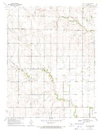
 1970 Burdett1971 Print · USGSThe rural landscape around the Pawnee River is captured here during the 1970s, showing the intersection of rail, water, and local aviation. Researchers can locate the Browns Grove Cem and trace the Atchison Topeka and Santa Fe line through Burdett.
 - 1970 Map of Rush Center SW, 1972 Print
 1970 Rush Center SW1972 Print · USGSThe Rush and Pawnee County borderlands are shown here in the early 1970s, at a time when petroleum production was reshaping the prairie. Researchers can trace the development of the Shiley Oil Field and Oro Oil Field or locate the local Townhall.
 - 1970 Map of Bazine SE, 1972 Print
 1970 Bazine SE1972 Print · USGSPawnee and Ness Counties are captured here during a peak era of petroleum production in the early seventies. Genealogists and local historians can trace the specific locations of the Schadel Oil Field, Steffen Oil Field, and landmarks like High Point.
 - 1970 Map of Albert SE, 1972 Print
 1970 Albert SE1972 Print · USGSPawnee County agricultural and oil lands are captured here in the early seventies as the energy industry expanded across the Kansas plains. Researchers can locate the Rutherford Oil Field, a rural Cem, and the winding path of Walnut Creek.
 - 1970 Map of Larned, 1972 Print
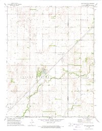
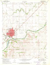 1970 Larned1972 Print · USGSLarned and its surrounding Pawnee County landscape are captured here in the early seventies as a thriving rail and river hub. Local researchers can pinpoint numerous schools like Hillside Sch, the Drive-in Theater, and the Ash Valley Grange Hall.
 - 1970 Map of Ash Valley, 1972 Print
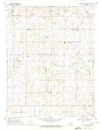
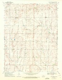
 1970 Ash Valley1972 Print · USGSPawnee and Rush Counties are captured in the early 1970s, showcasing a rural Kansas landscape defined by shifting infrastructure and quiet settlements. Researchers can locate the Ash Valley Cem and trace the path of an Old Railroad Grade and regional Pipeline routes.
 - 1970 Map of Rush Center SE, 1972 Print
 1970 Rush Center SE1972 Print · USGSPawnee and Rush Counties are captured in the early seventies, showing a rural landscape defined by ranching and energy extraction. Researchers can trace the Old Railroad Grade past Vaughn or locate historical Oil Wells and a Sandpit along the creek beds.
 - 1972 Map of Belpre, 1974 Print
 1972 Belpre1974 Print · USGSBelpre and the surrounding Kansas plains appear here in the early 1970s, as the energy economy was transforming the rural landscape. Genealogists and historians can trace the town's footprint along the Atchison Topeka and Santa Fe railroad or locate family land near Wild Horse Creek and Farmington.
 - 1972 Map of Rozel SW, 1974 Print
 1972 Rozel SW1974 Print · USGSThe rural border of Edwards and Pawnee Counties is captured here in the early 1970s. Local researchers can trace family roots through Salem Cem or Lutheran Cem and locate community anchors like Ss Peter & Paul Ch.
 - 1972 Map of Rozel SE, 1974 Print
 1972 Rozel SE1974 Print · USGSPawnee and Edwards Counties are shown in the early seventies as the rail-and-river economy shaped the plains. Genealogists and researchers can locate Garfield Cem, the siding at Nettleton, and the winding course of Coon Creek.
 - 1972 Map of Hanston SE, 1974 Print
 1972 Hanston SE1974 Print · USGSWestern Kansas townships and drainage basins are captured here in the early seventies, showing a landscape defined by large-scale ranching and early energy development. Genealogists and researchers can trace the rural boundaries of Marena and Sterling or locate early industrial sites like the Caliche Pit and Gas Well.
 - 1972 Map of Belpre NW, 1974 Print
 1972 Belpre NW1974 Print · USGSEdwards County and Pawnee County appear here in the early seventies, dominated by the rail-and-field layout of the High Plains. Genealogists and local historians can trace family land in Wayne township, find the Wayne Cem, or locate the Cross Landing Strip.
 - 1972 Map of Saint John SW, 1974 Print
 1972 Saint John SW1974 Print · USGSThe Pawnee and Stafford county line comes alive in the early seventies as a hub of energy development and rural farming. Genealogists and historians can trace the landscape of Valley Center, noting landmarks like James Lake, a lone Grave, and the local Townhall.
 - 1972 Map of Garfield, 1974 Print
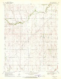
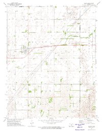
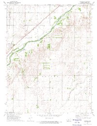 1972 Garfield1974 Print · USGSIn the early seventies, the Pawnee County plains were shaped by the steady flow of the Arkansas River and the iron rails of the Atchison Topeka and Santa Fe. Genealogists and researchers can trace the rural layouts of Garfield and Hamburg or locate early industrial Oil Wells and family-named terrain like Pleasant Ridge.
 - 1972 Map of Zook, 1974 Print
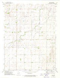 1972 Zook1974 Print · USGSPawnee County in the early seventies shows the intersection of deep-rooted farm communities and a thriving energy industry. Researchers can trace family history at Zook, the Zook Ch, and Pleasant Valley Cem while surveying the vast Gas and Oil Field.
Showing maps 1-25 of 28
Top cities of Pawnee County
- Larned historical maps
- Burdett historical maps
- Garfield historical maps
- Rozel historical maps
- Ash Valley historical maps
Frequently asked questions
- What are the different types of historical maps available for Pawnee County?
- What is the oldest map of Pawnee County?
- Where can I purchase historical maps of Pawnee County for my home or office?
- Where can I download high-res historical maps of Pawnee County?
- Are there historical topographic maps available for Pawnee County?
- Is there historical aerial imagery available for Pawnee County?
- Where are historical maps of Pawnee County sourced from?