2000s (21st Century) Maps of Agra, Kansas
Explore 10 historic maps of Agra from the 2000s (21st Century). These maps offer a rare glimpse into what life looked like during the 2000s — showing old roads, neighborhoods, homes, and landmarks that have changed or disappeared over time.
Whether you're researching your family's past, planning a metal detecting trip, or studying how Agra's landscape evolved across the 2000s, these high-resolution maps are a powerful tool for exploring the history of this region.
- Focus on a specific era: All maps on this page are from the 2000s, giving you a focused view of this time period.
- See what’s changed: Compare century-old streets, trails, and buildings to today's modern landscape using overlays and satellite layers.
- Research with precision: Use these maps for genealogy, historical research, land use analysis, or educational projects.
- View, download, or print: Maps are fully viewable online in high resolution, and can be downloaded or printed for your own records.
Start exploring Agra's history through authentic maps from the 2000s. This is your window into the past.
Agra, KS maps
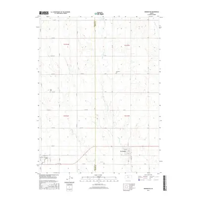
(10)- 2009 Map of Kensington, 2009 Print
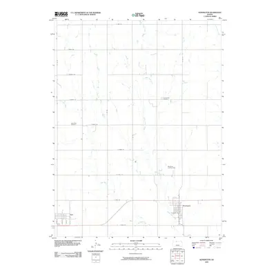 2009 Kensington2009 Print · USGSCovers Agra, including Kensington, Phillips County, and other nearby areas
 - 2009 Map of Gretna, 2009 Print
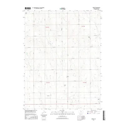
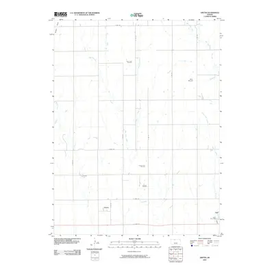 2009 Gretna2009 Print · USGSCovers Agra, including Gretna, Phillips County, and other nearby areas
 - 2012 Map of Gretna, 2012 Print
 2012 Gretna2012 Print · USGSCovers Agra, including Gretna, Phillips County, and other nearby areas
 - 2012 Map of Kensington, 2012 Print
 2012 Kensington2012 Print · USGSCovers Agra, including Kensington, Phillips County, and other nearby areas
 - 2015 Map of Gretna, 2015 Print
 2015 Gretna2015 Print · USGSCovers Agra, including Gretna, Phillips County, and other nearby areas
 - 2015 Map of Kensington, 2015 Print
 2015 Kensington2015 Print · USGSCovers Agra, including Kensington, Phillips County, and other nearby areas
 - 2018 Map of Gretna, 2018 Print
 2018 Gretna2018 Print · USGSCovers Agra, including Gretna, Phillips County, and other nearby areas
 - 2018 Map of Kensington, 2018 Print
 2018 Kensington2018 Print · USGSCovers Agra, including Kensington, Phillips County, and other nearby areas
 - 2022 Map of Kensington, 2022 Print
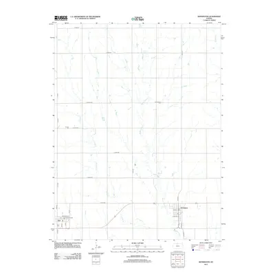
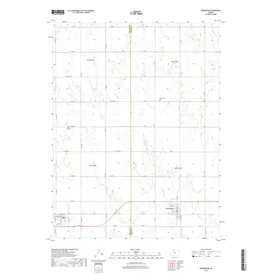
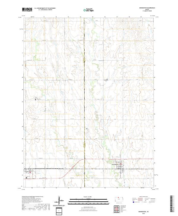 2022 Kensington2022 Print · USGSThe agricultural plains of the Phillips and Smith county border are captured here in the early twenty-first century. Genealogists and local historians can locate rural burial sites like Germantown Cem and West Cedar Cem, while tracing the local street plans of Kensington and Agra.
 - 2022 Map of Gretna, 2022 Print
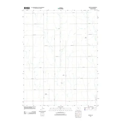
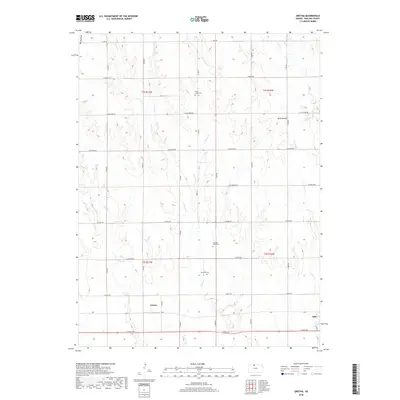
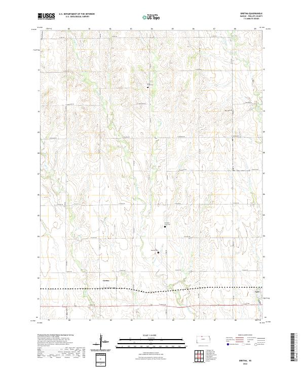 2022 Gretna2022 Print · USGSThe rolling plains of Phillips County are captured here in the early twenty-first century, showing a landscape defined by section-line roads and creek drainages. Genealogists can locate family sites near Plum Creek Cem, Gretna, or the prominent Blue Mound.
End of results
Showing maps 1-10 of 10
Top cities near Agra
- Phillipsburg historical maps
- Kensington historical maps
- Kirwin historical maps
- Glade historical maps
- Athol historical maps
- Cedar historical maps
Frequently asked questions
- What are the different types of historical maps available for Agra?
- What is the oldest map of Agra?
- Where can I purchase historical maps of Agra for my home or office?
- Where can I download high-res historical maps of Agra?
- Are there historical topographic maps available for Agra?
- Is there historical aerial imagery available for Agra?
- Where are historical maps of Agra sourced from?