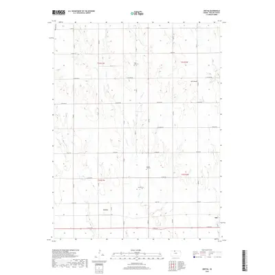
2018 Map of Gretna
USGS Topo · Published 2018About this map
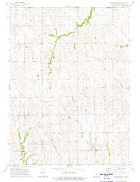
Gretna and the neighboring community of Agra anchor the southern portion of this Phillips County landscape, situated along the corridor formed by E Ridge Rd. The terrain is defined by a dense network of watercourses that have carved the land into a series of north-south ridges, including the prominent Blue Mound in the northeast. This drainage pattern includes the complex branches of Plum Creek, such as W Plum Cr and E Plum Cr, which run parallel to other systems like Trap Cr and W Cedar Cr.
Find a feature on this map
29 named features on this map. Tap any name to fly to it.
Don’t see what you’re looking for? This feature index may not catch every label — zoom into the map to look around manually.
Map Details
Editions of this 2018 Gretna Map
This is the sole edition of this map. No revisions or reprints were ever made.
Other maps of this area
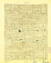
1893 · Phillipsburg
USGS Topo · 1:125,000

1955 · Beloit
USGS Topo · 1:250,000

1959 · Beloit
USGS Topo · 1:250,000
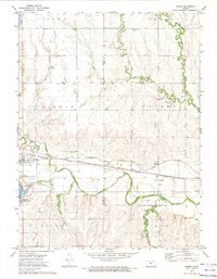
1972 · Kirwin
USGS Topo · 1:24,000
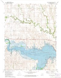
1972 · Kirwin Reservoir
USGS Topo · 1:24,000
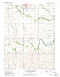
1972 · Phillipsburg South
USGS Topo · 1:24,000
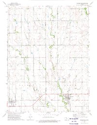
1973 · Kensington
USGS Topo · 1:24,000
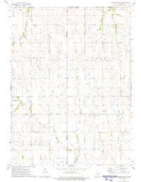
1973 · Kensington NE
USGS Topo · 1:24,000
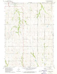
1973 · Stuttgart NE
USGS Topo · 1:24,000
1973 · Kensington NW
USGS Topo · 1:24,000