
1973 Map of Stuttgart NE
USGS Topo · Published 1975About this map
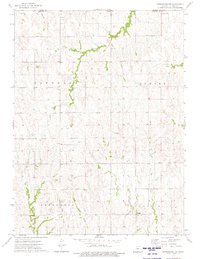
The rolling plains of northern Phillips County are defined by a series of south-flowing drainage systems and a burgeoning energy sector during the early 1970s. The northern edge of the map captures the border between the Harlan Co Phillips Co line and the southern reaches of Harlan County Lake. Evidence of local industry is visible through numerous Oil Wells and a Quarry located near Crystal Creek.
Find a feature on this map
22 named features on this map. Tap any name to fly to it.
Don’t see what you’re looking for? This feature index may not catch every label — zoom into the map to look around manually.
Map Details
Editions of this 1973 Stuttgart NE Map
This is the sole edition of this map. No revisions or reprints were ever made.
Other maps of this area

1893 · Phillipsburg
USGS Topo · 1:125,000

1896 · Holdrege
USGS Topo · 1:125,000

1955 · Grand Island
USGS Topo · 1:250,000

1955 · Beloit
USGS Topo · 1:250,000

1957 · Grand Island
USGS Topo · 1:250,000

1958 · Grand Island
USGS Topo · 1:250,000

1959 · Beloit
USGS Topo · 1:250,000

1968 · Woodruff
USGS Topo · 1:24,000
1973 · Kensington NW
USGS Topo · 1:24,000
1973 · Gretna
USGS Topo · 1:24,000