Old Maps of Ogden, Kansas for Genealogy
Trace your family roots with 26 historic maps of Ogden. These high-res maps reveal old neighborhoods, homesites, landmarks, and streets — helping you uncover where your ancestors lived and how the area evolved over time.
- Explore historic neighborhoods: Identify where your relatives may have lived in the 1800s or 1900s.
- Compare maps over time: Trace the changes in streets, buildings, and landmarks for multi-generational research.
- Perfect for genealogy & ancestry research: Used by family historians and researchers to map out lineage and migration.
These maps are an incredible resource for exploring your personal connection to Ogden's past.
Ogden, KS maps
(26)- 1886 Map of Junction City, 1960 Print
 1886 Junction City1960 Print · USGSNortheastern Kansas in the late nineteenth century centers on the strategic military and rail hubs of the Flint Hills. Genealogists can trace the early foundations of Junction City, the sprawling Fort Riley Military Reservation, and rail-stop towns like Garrison and Stockdale.
 - 1889 Map of Junction City
 1889 Junction City1889 Print · USGSThe confluence of the Republican and Smoky Hill rivers defines this central Kansas landscape in the late nineteenth century. Genealogists and historians can trace the early footprints of Fort Riley, the rail hubs of Junction City and Manhattan, and vanished stops like Garrison and Bala.
 - 1894 Map of Junction City
 1894 Junction City1894 Print · USGSThe Kansas frontier of the late nineteenth century comes alive as the rail-and-river network expands around Junction City. Genealogists and historians can trace early townships and rural outposts like Riley Center, Bala, and the Fort Riley Military Reservation.7 unique versions available
 - 1947 Map of Manhattan, 1954 Print
 1947 Manhattan1954 Print · USGSManhattan and the surrounding Kansas river valleys are shown here in the years immediately following World War II. Researchers can trace the extensive military works at Camp Funston, local education at College Hill Sch, and pioneer-era sites like St Patricks Cem.2 unique versions available
 - 1950 Map of Keats
 1950 Keats1950 Print · USGSRiley County at the mid-century shows a landscape defined by the expansive Fort Riley Military Reservation and the river valley railroads. Researchers can trace local history through features like the Rebekah IOOF Home, the village of Keats, and the old Rock Quarry near the river.2 unique versions available
 - 1951 Map of Ogden
 1951 Ogden1951 Print · USGSThe Kansas River valley near Ogden is shown here at mid-century, where the expansion of the military post meets established rural life. Researchers can trace the layout of Camp Funston, find several family burial grounds like St Marys Cemetery, and locate vanished local schools including Tully School and Reynalda School.2 unique versions available
 - 1955 Map of Ogden
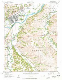 1955 Ogden1955 Print · USGSThe military and rural landscapes of Riley and Geary counties meet here in the mid-1950s where the river bends. Researchers can trace historic burial sites like St Marys Cem and old country schoolhouses including Berry School and Humboldt School.3 unique versions available
 - 1955 Map of Keats, 1958 Print
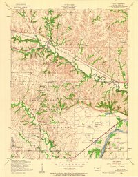 1955 Keats1958 Print · USGSRiley County, Kansas, is captured here in the mid-fifties as it balances military operations and agricultural research. Researchers can trace the path of the Chicago Rock Island and Pacific railroad or locate landmarks like the Rebekah IOOF Home Cem and Elm Hollow Corner.2 unique versions available
 - 1955 Map of Manhattan, 1964 Print
 1955 Manhattan1964 Print · USGSNorth Central Kansas is captured here in the mid-fifties, just as major flood control projects began reshaping the river valleys. Genealogists can locate family sites near St. Joseph Church, Sunset Cemetery, or along the busy tracks of the Rock Island RR.4 unique versions available
 - 1956 Map of Manhattan
 1956 Manhattan1956 Print · USGSNorth-central Kansas in the mid-fifties reveals a landscape defined by the convergence of the Republican River and Smoky Hill River. Historians can trace the rail corridors of the Union Pacific RR and Missouri Pacific RR through towns like Manhattan and Clay Center.
 - 1957 Map of Manhattan
 1957 Manhattan1957 Print · USGSNortheast Kansas in the mid-1950s reveals a landscape of expanding military installations and new water projects. Genealogists and historians can trace the rail-to-river economy through the Union Pacific RR and old settlements like Clay Center or Marysville.
 - 1982 Map of Keats
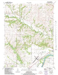 1982 Keats1982 Print · USGSThe rural uplands of Riley County and the edges of the military reservation are captured here in the early eighties. Genealogists and local researchers can trace the Union Pacific corridor and find established landmarks like Vinton School, Rebekah Cem, and the old Ashland Bottoms river lands.
 - 1982 Map of Ogden
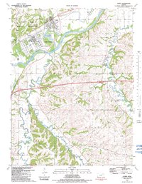 1982 Ogden1982 Print · USGSThe military and river history of Riley and Geary Counties comes alive in the early eighties. Researchers can trace the infrastructure of Camp Funston and find local family landmarks like Berry Sch, Fairview Cem, and Whiskey Lake.
 - 1985 Map of Manhattan, 1986 Print
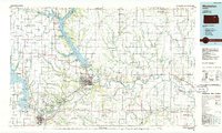 1985 Manhattan1986 Print · USGSThe Flint Hills and Kansas River valley are captured in the mid-eighties, showing the growth of Manhattan alongside major military and ecological preserves. Trace local history through the Union Pacific rail lines, the Treaty Boundary, and the infrastructure of Fort Riley.
 - 1990 Map of Manhattan
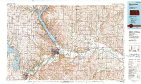 1990 Manhattan1990 Print · USGSThe Kansas river valley and the Flint Hills uplands are captured here in the late twentieth century as the region balanced military expansion and water management. Trace the historic Union Pacific rail line through river towns like Wamego and St Marys, or explore the sprawling Fort Riley Military Reservation.
 - 1992 Map of Keats, 1995 Print
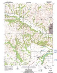 1992 Keats1995 Print · USGSRiley County at the start of the nineties shows the intersection of military training grounds and expanding civic life near Manhattan. Researchers can trace rural landmarks like Vinton School, the quiet Rebekah Cem, and the old settlement at Keats.
 - 2009 Map of Ogden, 2009 Print
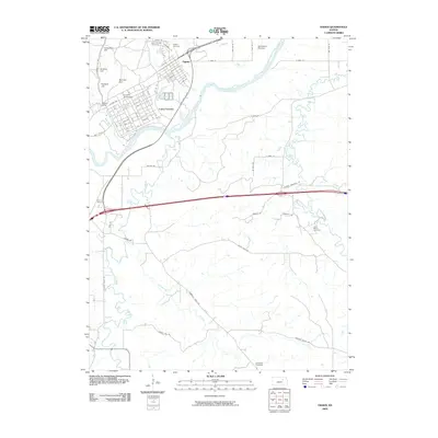 2009 Ogden2009 Print · USGSThe river valley near Ogden and the military landscape of Camp Funston are captured here in the early twenty-first century. Genealogists and local historians can trace several rural burial grounds like Fairview Cemetery and Humboldt Cemetery or locate the Funston Monument.
 - 2009 Map of Keats, 2009 Print
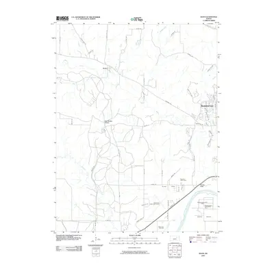 2009 Keats2009 Print · USGSThe western outskirts of Manhattan and rural Riley County are captured here at the start of the millennium. Genealogists and local historians can locate smaller centers like Keats and Elm Hollow Corner or trace the development around Eureka Lake.
 - 2012 Map of Keats, 2012 Print
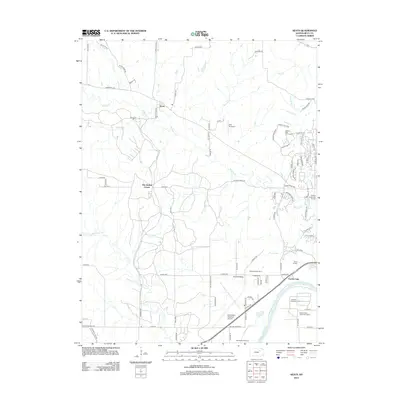 2012 Keats2012 Print · USGSRiley County at the start of the 2010s shows a mix of university-linked agriculture and regional transit west of Manhattan. Trace the layout of institutional landmarks like the Kansas State Horticulture Farm and the Ashland Agronomy Farm alongside the Kansas River.
 - 2012 Map of Ogden, 2012 Print
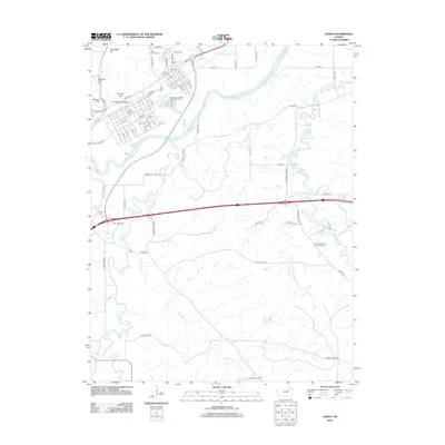 2012 Ogden2012 Print · USGSThe river valley surrounding Ogden was a focus of development and remembrance in the early twenty-first century. Genealogists can trace burial sites from Saint Patricks Cemetery to the Humboldt Cemetery or locate landmarks like the Funston Monument.
 - 2015 Map of Ogden, 2015 Print
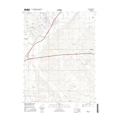 2015 Ogden2015 Print · USGSThe Riley and Geary county line comes alive in the mid-2010s, showing a landscape of river valleys and upland prairie. Researchers can trace family history through several sites like Saint Joseph's Catholic Cem, Ogden Cem, and the landmark Funston Monument.
 - 2015 Map of Keats, 2015 Print
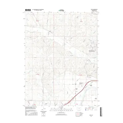 2015 Keats2015 Print · USGSThe Kansas River valley west of Manhattan shows its modern rural and aviation character just a few years ago. Researchers can trace land patterns near Keats, locate the Rebekah Independent Order of Odd-Fellows Home Cem, and see the development around Eureka Lake.
 - 2018 Map of Ogden, 2018 Print
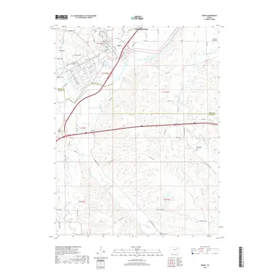 2018 Ogden2018 Print · USGSThe river valley and bluffs near Manhattan are documented in the late 2010s, showing the interaction between the Kansas River and the rural road network. Genealogists can locate several historic burial sites, including Saint Joseph's Catholic Cem and Humboldt Cem.
 - 2018 Map of Keats, 2018 Print
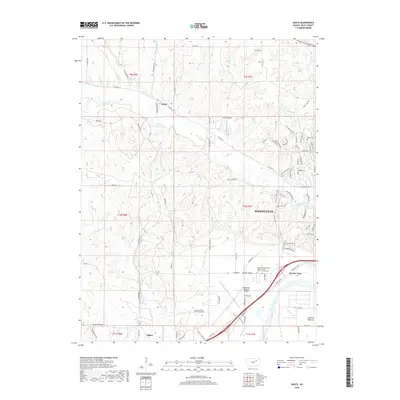 2018 Keats2018 Print · USGSThe outskirts of Manhattan and the winding Kansas River are documented here in the late 2010s. Genealogists and local historians can locate the Kansas Veterans Cem at Manhattan and the rural community of Keats amidst growing suburban neighborhoods.
 - 2022 Map of Keats, 2022 Print
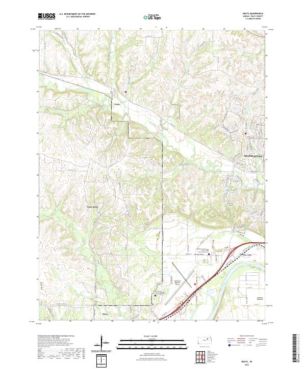 2022 Keats2022 Print · USGSThe rural outskirts and river bottoms west of Manhattan are seen here in the early twenty-first century. Genealogists and historians can trace the Kansas Veterans Cem at Manhattan and the historic Rebekah Independent Order of Odd Fellows Home Cem near Eureka Lake.
Showing maps 1-25 of 26
Top cities near Ogden
- Manhattan historical maps
- Junction City historical maps
- Grandview Plaza historical maps
- Riley historical maps
- Milford historical maps
Frequently asked questions
- What are the different types of historical maps available for Ogden?
- What is the oldest map of Ogden?
- Where can I purchase historical maps of Ogden for my home or office?
- Where can I download high-res historical maps of Ogden?
- Are there historical topographic maps available for Ogden?
- Is there historical aerial imagery available for Ogden?
- Where are historical maps of Ogden sourced from?