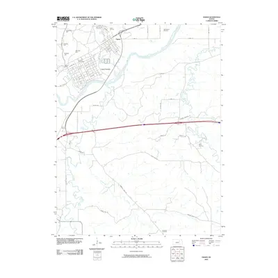
2009 Map of Ogden
USGS Topo · Published 2009About this map
The Ogden community and the sprawling grounds of Camp Funston dominate the northern landscape of this Riley County survey, situated at a strategic bend of the Kansas River. The military presence is central to the area's geography, marked by the Funston Monument and the various hills like Campbell Hill and Sumner Hill that overlook the valley floor. Beyond the structured streets of the cantonment and the settlement of Packers Camp, the land transitions into a network of creek drainages and rural farm-to-market roads. Several historic burial grounds, including Saint Patricks Cemetery and Ogden Cemetery, serve as important markers of the early families who settled this river valley. To the south and east, the terrain becomes increasingly defined by the meandering paths of Clarks Creek and McDowell Creek, where long-standing landmarks like Saint Marys Cemetery and the Manhattan Raceway reflect the area's diverse community development.
Find a feature on this map
49 named features on this map. Tap any name to fly to it.
Don’t see what you’re looking for? This feature index may not catch every label — zoom into the map to look around manually.
Map Details
Editions of this 2009 Ogden Map
This is the sole edition of this map. No revisions or reprints were ever made.
Other maps of this area

1886 · Junction City
USGS Topo · 1:125,000

1889 · Junction City
USGS Topo · 1:125,000

1889 · Parkerville
USGS Topo · 1:125,000

1894 · Junction City
USGS Topo · 1:125,000

1894 · Parkerville
USGS Topo · 1:125,000

1947 · Manhattan
USGS Topo · 1:62,500

1947 · Fort Riley
USGS Topo · 1:62,500

1950 · Keats
USGS Topo · 1:24,000

1950 · Manhattan
USGS Topo · 1:24,000

1950 · Junction City
USGS Topo · 1:24,000