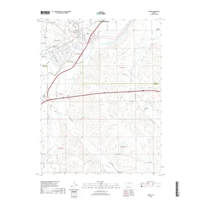
2018 Map of Ogden
USGS Topo · Published 2018About this map
Ogden serves as a focal point in this 2018 survey, situated near the confluence of the Kansas River and Sevenmile Cr. The landscape is defined by the transition from the broad Ashland Bottoms to the more dissected terrain of Campbell Hill and Rodney Hill. This area is marked by a high density of small burial grounds that reflect the long-standing community footprint, including Saint Patrick's Cem, the Ogden Cem, and the Saint Joseph's Catholic Cem to the southeast.
Find a feature on this map
94 named features on this map. Tap any name to fly to it.
Don’t see what you’re looking for? This feature index may not catch every label — zoom into the map to look around manually.
Map Details
Editions of this 2018 Ogden Map
This is the sole edition of this map. No revisions or reprints were ever made.
Other maps of this area

1886 · Junction City
USGS Topo · 1:125,000

1889 · Junction City
USGS Topo · 1:125,000

1889 · Parkerville
USGS Topo · 1:125,000

1894 · Junction City
USGS Topo · 1:125,000

1894 · Parkerville
USGS Topo · 1:125,000

1947 · Manhattan
USGS Topo · 1:62,500

1947 · Fort Riley
USGS Topo · 1:62,500

1950 · Keats
USGS Topo · 1:24,000

1950 · Manhattan
USGS Topo · 1:24,000

1950 · Junction City
USGS Topo · 1:24,000