2020s Maps of Rush County, Kansas
Explore 20 historic maps of Rush County from the 2020s. These maps offer a rare glimpse into what life looked like during the 2020s — showing old roads, neighborhoods, homes, and landmarks that have changed or disappeared over time.
Whether you're researching your family's past, planning a metal detecting trip, or studying how Rush County's landscape evolved across the 2020s, these high-resolution maps are a powerful tool for exploring the history of this region.
- Focus on a specific era: All maps on this page are from the 2020s, giving you a focused view of this time period.
- See what’s changed: Compare century-old streets, trails, and buildings to today's modern landscape using overlays and satellite layers.
- Research with precision: Use these maps for genealogy, historical research, land use analysis, or educational projects.
- View, download, or print: Maps are fully viewable online in high resolution, and can be downloaded or printed for your own records.
Start exploring Rush County's history through authentic maps from the 2020s. This is your window into the past.
Rush County, KS maps
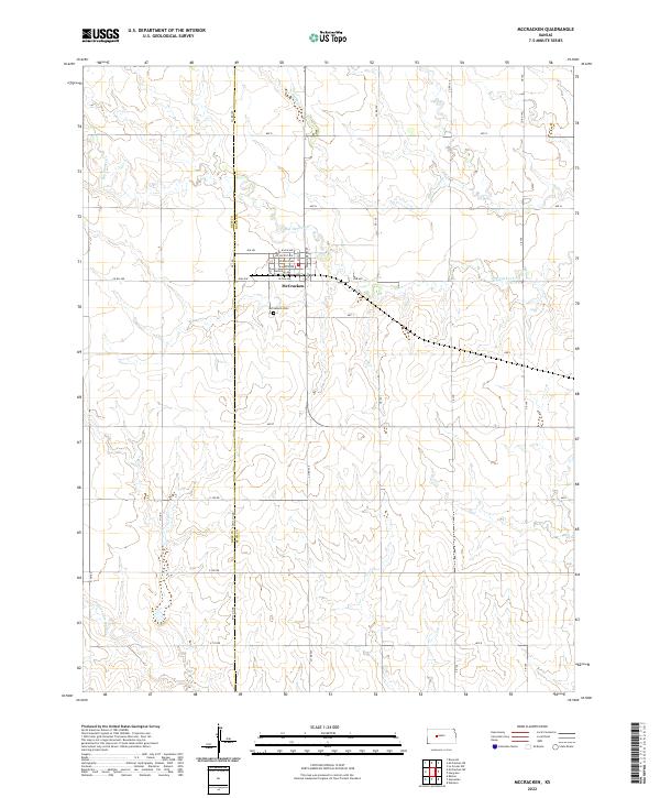
(20)- 2022 Map of McCracken NE, 2022 Print
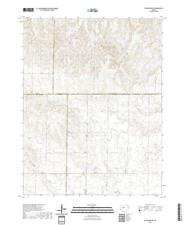 2022 McCracken NE2022 Print · USGSCovers Rush County, including Ellis County, Ness County, and other nearby areas
 - 2022 Map of Ash Valley, 2022 Print
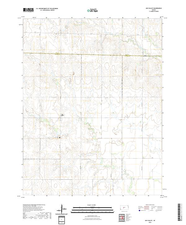 2022 Ash Valley2022 Print · USGSCovers Rush County, including Ash Valley, Pawnee County, and other nearby areas
 - 2022 Map of Pfeifer, 2022 Print
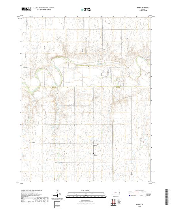 2022 Pfeifer2022 Print · USGSCovers Rush County, including Loretta, Pfeifer, and other nearby areas
 - 2022 Map of Albert SE, 2022 Print
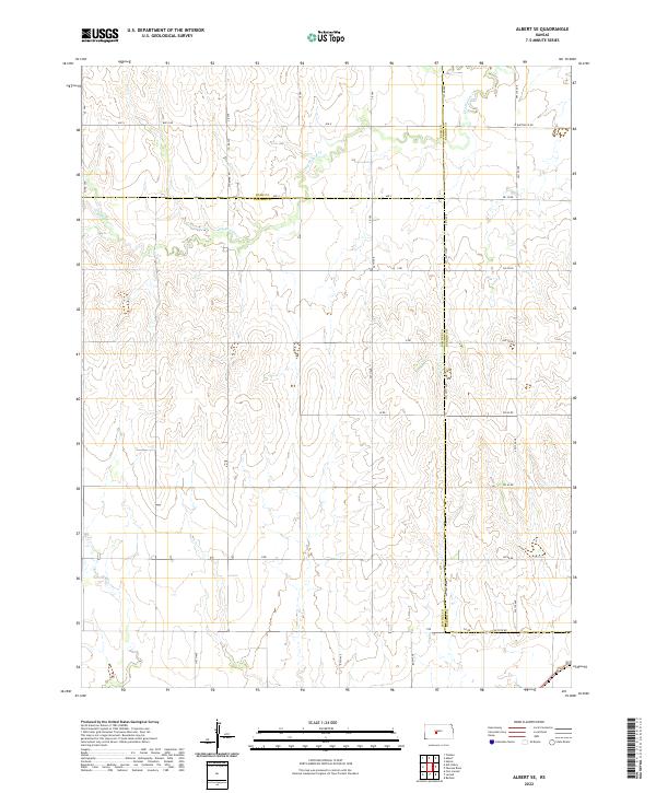 2022 Albert SE2022 Print · USGSCovers Rush County, including Barton County, Pawnee County, and other nearby areas
 - 2022 Map of Rush Center, 2022 Print
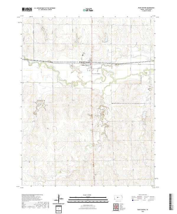 2022 Rush Center2022 Print · USGSCovers Rush County, including Rush Center, United States, and other nearby areas
 - 2022 Map of Timken, 2022 Print
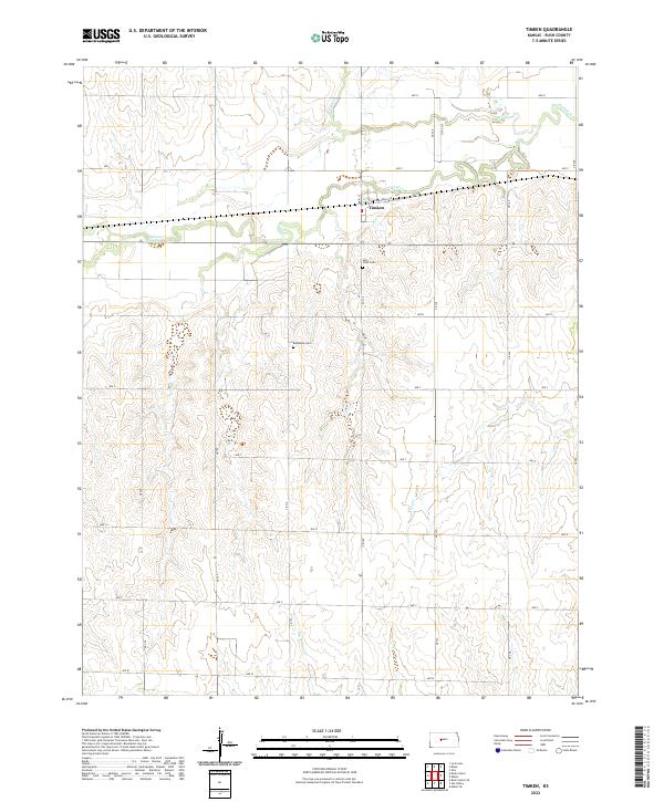 2022 Timken2022 Print · USGSCovers Rush County, including Timken, United States, and other nearby areas
 - 2022 Map of Rush Center SE, 2022 Print
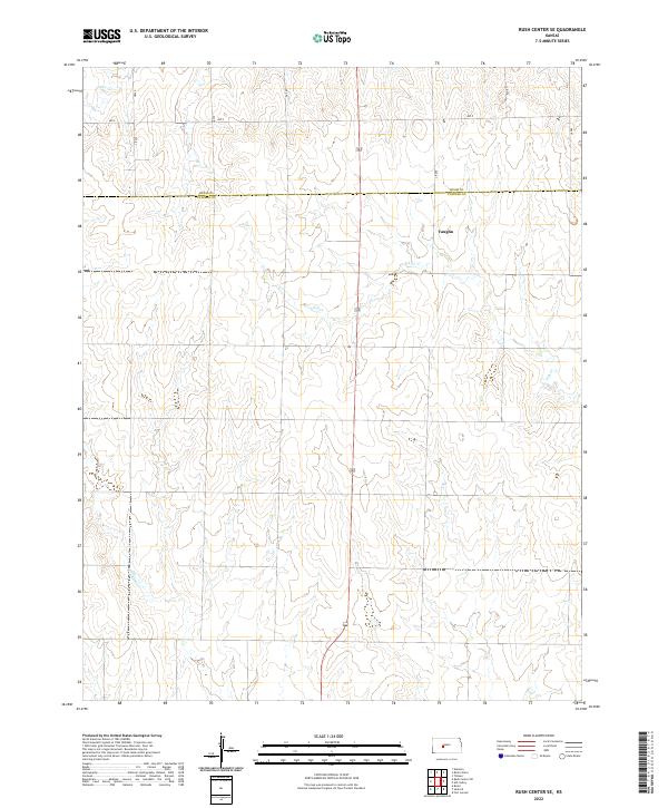 2022 Rush Center SE2022 Print · USGSCovers Rush County, including Vaughn, Pawnee County, and other nearby areas
 - 2022 Map of Bazine SE, 2022 Print
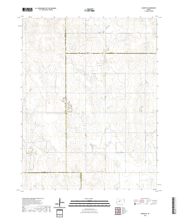 2022 Bazine SE2022 Print · USGSCovers Rush County, including Pawnee County, Ness County, and other nearby areas
 - 2022 Map of Hargrave, 2022 Print
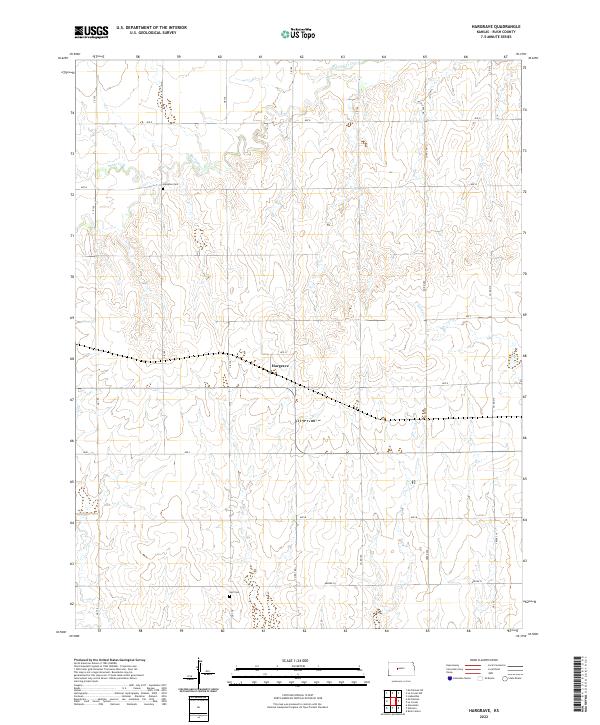 2022 Hargrave2022 Print · USGSCovers Rush County, including Hargrave, United States, and other nearby areas
 - 2022 Map of La Crosse, 2022 Print
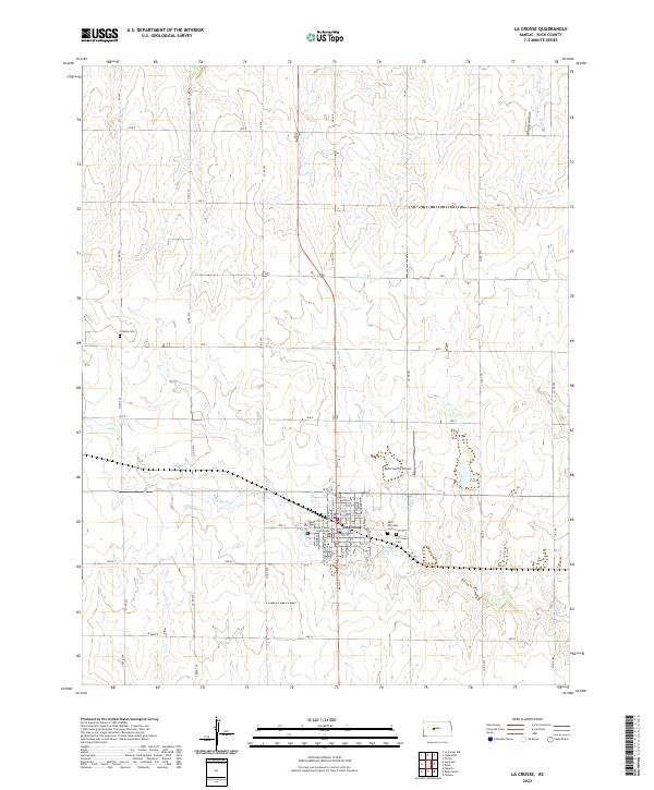 2022 La Crosse2022 Print · USGSCovers Rush County, including La Crosse, United States, and other nearby areas
 - 2022 Map of Bison, 2022 Print
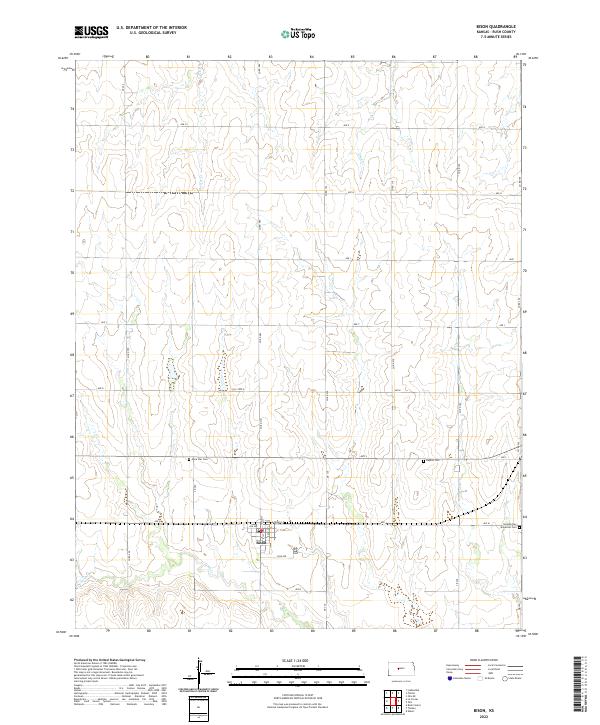 2022 Bison2022 Print · USGSCovers Rush County, including Bison, United States, and other nearby areas
 - 2022 Map of Otis, 2022 Print
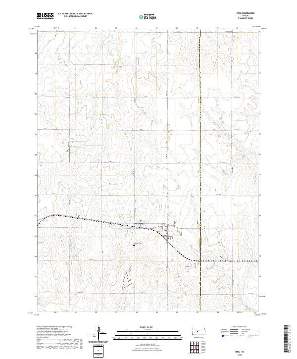 2022 Otis2022 Print · USGSCovers Rush County, including Otis, Barton County, and other nearby areas
 - 2022 Map of Nekoma, 2022 Print
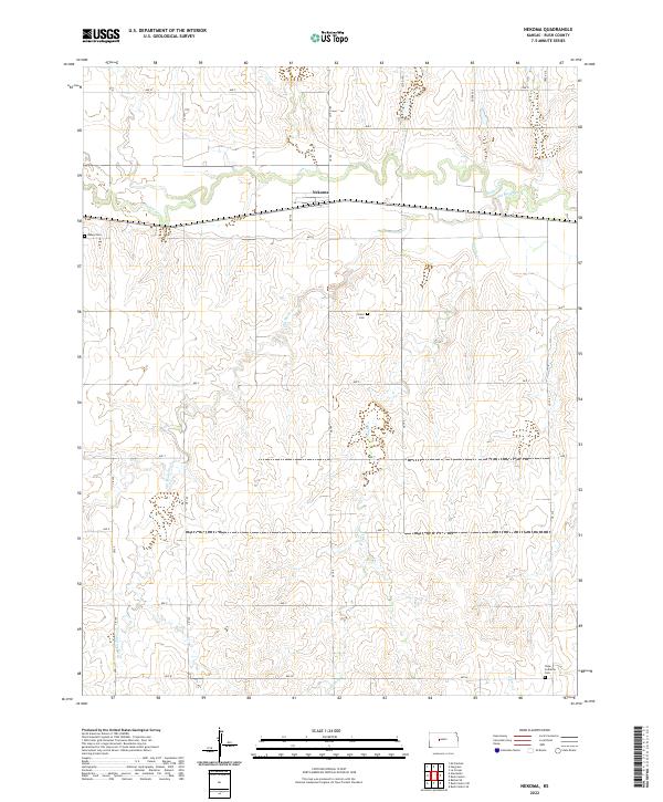 2022 Nekoma2022 Print · USGSCovers Rush County, including Nekoma, United States, and other nearby areas
 - 2022 Map of Liebenthal, 2022 Print
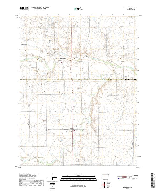 2022 Liebenthal2022 Print · USGSCovers Rush County, including Schoenchen, Liebenthal, and other nearby areas
 - 2022 Map of Rush Center SW, 2022 Print
 2022 Rush Center SW2022 Print · USGSCovers Rush County, including Pawnee County, United States, and other nearby areas
 - 2022 Map of Albert, 2022 Print
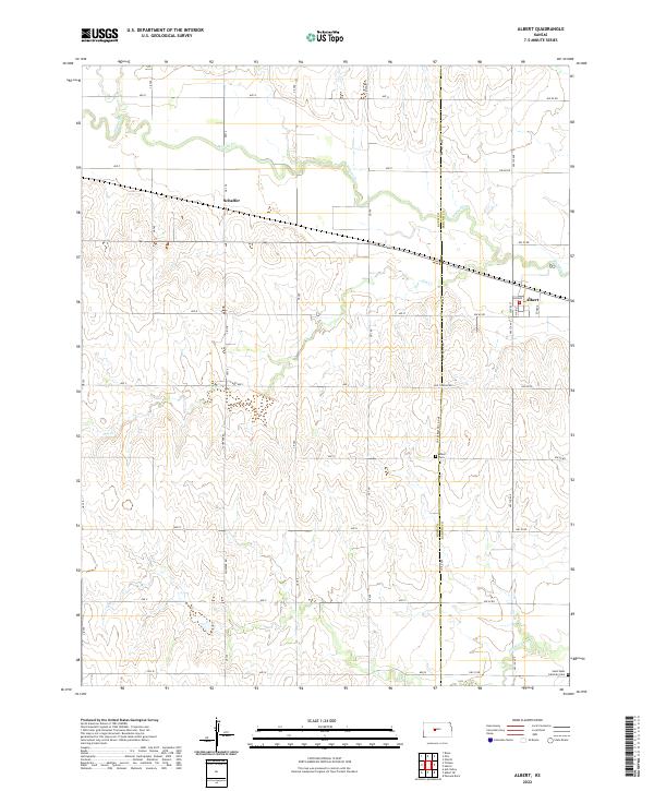 2022 Albert2022 Print · USGSCovers Rush County, including Albert, Schaffer, and other nearby areas
 - 2022 Map of La Crosse NW, 2022 Print
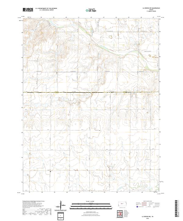 2022 La Crosse NW2022 Print · USGSCovers Rush County, including Ellis County, United States, and other nearby areas
 - 2022 Map of Alexander, 2022 Print
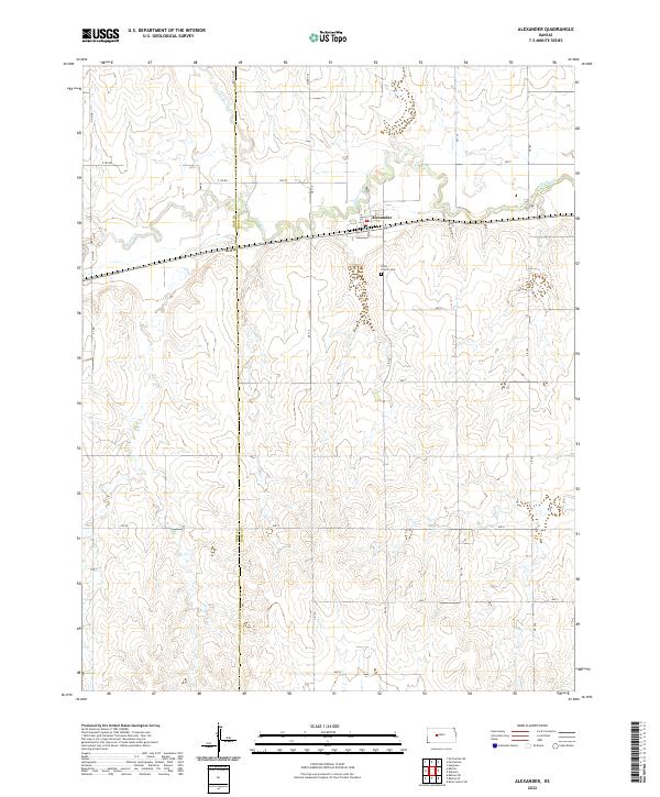 2022 Alexander2022 Print · USGSCovers Rush County, including Alexander, Ness County, and other nearby areas
 - 2022 Map of McCracken, 2022 Print
 2022 McCracken2022 Print · USGSCovers Rush County, including McCracken, Ness County, and other nearby areas
 - 2022 Map of Otis NE, 2022 Print
 2022 Otis NE2022 Print · USGSCovers Rush County, including Ellis County, Barton County, and other nearby areas
End of results
Showing maps 1-20 of 20
Top cities of Rush County
- La Crosse historical maps
- Otis historical maps
- Bison historical maps
- McCracken historical maps
- Rush Center historical maps
- Liebenthal historical maps
See more
Frequently asked questions
- What are the different types of historical maps available for Rush County?
- What is the oldest map of Rush County?
- Where can I purchase historical maps of Rush County for my home or office?
- Where can I download high-res historical maps of Rush County?
- Are there historical topographic maps available for Rush County?
- Is there historical aerial imagery available for Rush County?
- Where are historical maps of Rush County sourced from?