2010s Maps of Rush County, Kansas
Explore 60 historic maps of Rush County from the 2010s. These maps offer a rare glimpse into what life looked like during the 2010s — showing old roads, neighborhoods, homes, and landmarks that have changed or disappeared over time.
Whether you're researching your family's past, planning a metal detecting trip, or studying how Rush County's landscape evolved across the 2010s, these high-resolution maps are a powerful tool for exploring the history of this region.
- Focus on a specific era: All maps on this page are from the 2010s, giving you a focused view of this time period.
- See what’s changed: Compare century-old streets, trails, and buildings to today's modern landscape using overlays and satellite layers.
- Research with precision: Use these maps for genealogy, historical research, land use analysis, or educational projects.
- View, download, or print: Maps are fully viewable online in high resolution, and can be downloaded or printed for your own records.
Start exploring Rush County's history through authentic maps from the 2010s. This is your window into the past.
Rush County, KS maps
(60)- 2012 Map of Alexander, 2012 Print
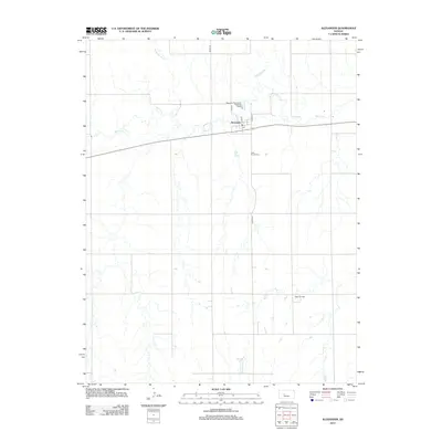 2012 Alexander2012 Print · USGSRush County's agricultural heartland is documented here in the early twenty-first century, centered on the village of Alexander. Local historians and genealogists can trace the layout of the town's streets and locate the Belle Prairie Cemetery or the Webs Oil Field.
 - 2012 Map of Ash Valley, 2012 Print
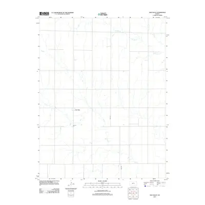 2012 Ash Valley2012 Print · USGSThe Kansas plains of Pawnee County come into focus in the early twenty-first century, showing a landscape defined by section lines and prairie drainages. Researchers can locate family landmarks such as the Ash Valley Cemetery and trace the paths of Dry Walnut Creek and Ash Creek near the settlement of Ash Valley.
 - 2012 Map of Bison, 2012 Print
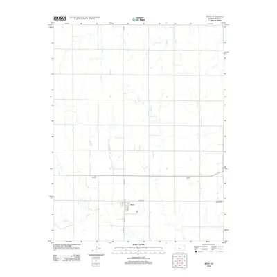 2012 Bison2012 Print · USGSBison and the surrounding Rush County plains are captured here in the early twenty-first century. Genealogists and local historians can locate prominent landmarks like Lone Star Cem, the Baptist Cem, and the central town PO at Bison.
 - 2012 Map of Albert, 2012 Print
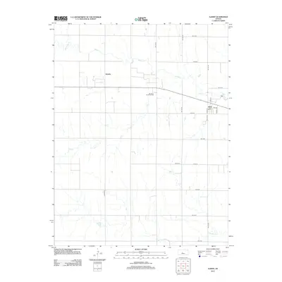 2012 Albert2012 Print · USGSBarton County agriculture and energy production intersect in the early twenty-first century along the banks of Walnut Cr. Local historians can trace the town layouts of Albert and Schaffer or locate the Albert Cem and the Otis-Albert Oil and Gas Field.
 - 2012 Map of Hargrave, 2012 Print
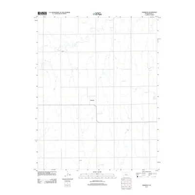 2012 Hargrave2012 Print · USGSRush County, Kansas, is documented in the early twenty-first century as a landscape of wide-open agricultural sections and prairie streams. Genealogists and local historians can locate family landmarks like Hampton Cem, Hall Cem, and the settlement of Hargrave.
 - 2012 Map of Bazine SE, 2012 Print
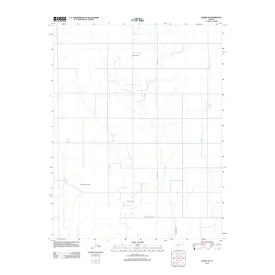 2012 Bazine SE2012 Print · USGSPawnee County oil production and rural section lines define this western Kansas landscape in the early twenty-first century. Researchers can trace land divisions and petroleum leases through named sites like Schadel Oil Field and Steffen Oil Field.
 - 2012 Map of Pfeifer, 2012 Print
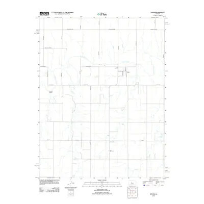 2012 Pfeifer2012 Print · USGSThe Smoky Hill River valley of Ellis County is captured here in the early twenty-first century, showing the rural communities of Pfeifer and Loretta. Genealogists can locate family sites near Holy Cross Cem or trace the paths of Shelter Cr and Duck Cr.
 - 2012 Map of La Crosse NW, 2012 Print
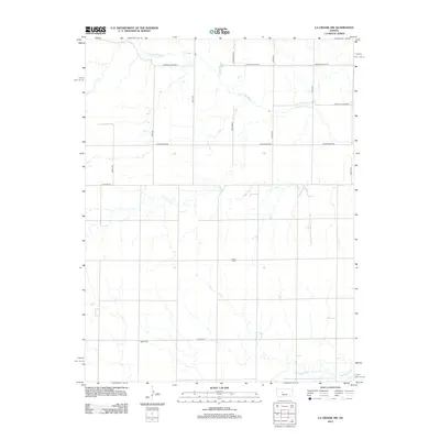 2012 La Crosse NW2012 Print · USGSEllis County agricultural land and the Smoky Hill River are documented here during the early twenty-first century. Researchers can locate family landmarks such as Cordial Cem and Nickel Cem among the section roads.
 - 2012 Map of McCracken NE, 2012 Print
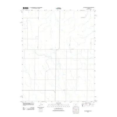 2012 McCracken NE2012 Print · USGSEllis County and the northern boundary of the McCracken area are defined here in the early 2010s by a vast network of section roads. Researchers can trace rural property access and waterways like Snake Cr or the namesake Chetolah Gold Rd.
 - 2012 Map of Rush Center SW, 2012 Print
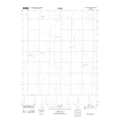 2012 Rush Center SW2012 Print · USGSPawnee County and the surrounding High Plains are captured here in the early twenty-first century, showing a landscape defined by energy and agriculture. Researchers can trace the layout of regional petroleum hubs like the Shiley Oil Field and Oro Oil Field along the banks of Old Maids Fork.
 - 2012 Map of Nekoma, 2012 Print
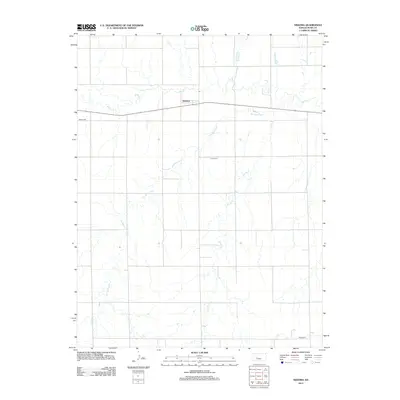 2012 Nekoma2012 Print · USGSNekoma and the surrounding Rush County plains are captured here in the early twenty-first century as the agricultural landscape remains centered on its watercourses. Genealogists can locate rural burial sites like Abbey Cem and Union Cem along the winding path of Old Maids Fork.
 - 2012 Map of Rush Center, 2012 Print
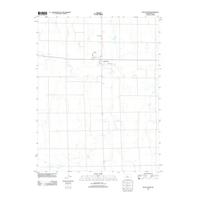 2012 Rush Center2012 Print · USGSRush Center and the surrounding central Kansas plains are captured here in the early twenty-first century. Genealogists and local researchers can locate Locust Hill Cem or trace the drainage of Walnut Cr and Otter Cr.
 - 2012 Map of Albert SE, 2012 Print
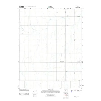 2012 Albert SE2012 Print · USGSBarton County, Kansas, is captured in the early 2010s as a landscape of grid-patterned prairie and active energy production. Local history researchers can trace the reach of the Rutherford Oil Field and the winding course of Dry Walnut Cr.
 - 2012 Map of Otis, 2012 Print
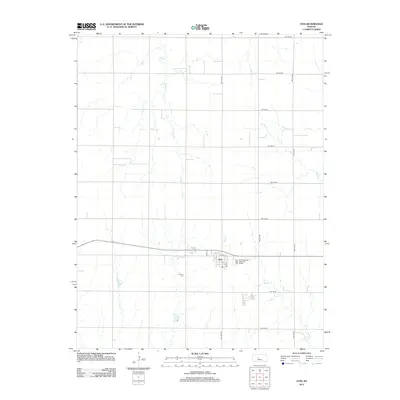 2012 Otis2012 Print · USGSOtis and the surrounding Rush County plains are captured here in the early 21st century, showing the intersection of rural townships and prairie waterways. Researchers can locate the Lutheran Cem, the local PO, and the drainage patterns of Eagle Cr.
 - 2012 Map of Otis NE, 2012 Print
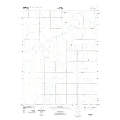 2012 Otis NE2012 Print · USGSThe Smoky Hill River valley south of Hays is captured here in the early twenty-first century, showcasing the intersection of prairie watercourses and rural section roads. Researchers can locate Pleasantdale Cem or trace the paths of Eagle Cr and Duck Cr.
 - 2012 Map of Liebenthal, 2012 Print
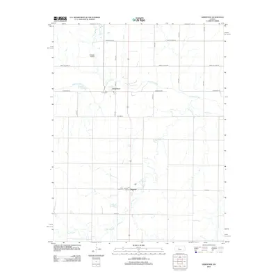 2012 Liebenthal2012 Print · USGSThe rural landscapes of Ellis County are documented here in the early twenty-first century, centered on the river-valley settlements of Schoenchen and Liebenthal. Genealogists and local historians can trace burial sites at Saint Anthony Cem and navigate old section roads like Chetolah Gold Rd.
 - 2012 Map of McCracken, 2012 Print
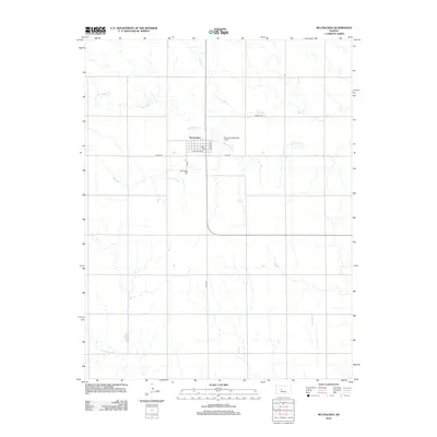 2012 McCracken2012 Print · USGSRush County agriculture and the central town of McCracken are showcased here in the early twenty-first century. Researchers can trace the layout of the town grid near Railroad Ave or locate family sites at the McCracken Cem and along Big Timber Creek.
 - 2012 Map of Rush Center SE, 2012 Print
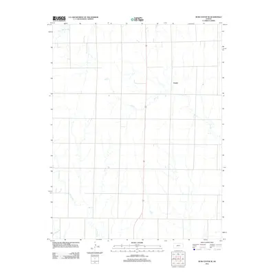 2012 Rush Center SE2012 Print · USGSPawnee County's rural heartland is depicted during the early twenty-first century, showing the organized agricultural grid surrounding Vaughn. Researchers can trace the meandering paths of local waterways like Ash Cr and Cocklebur Cr across the prairie.
 - 2012 Map of La Crosse, 2012 Print
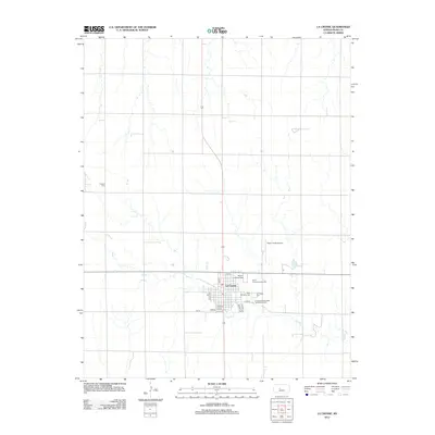 2012 La Crosse2012 Print · USGSLa Crosse and its surrounding Rush County prairie are captured here in the early twenty-first century as a well-established agricultural hub. Genealogists and local historians can locate Saint Michaels Cemetery, the Rush County Fairgrounds, and remote landmarks like Friends Cemetery.
 - 2012 Map of Timken, 2012 Print
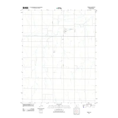 2012 Timken2012 Print · USGSTimken and the surrounding Rush County plains are captured here in the early twenty-first century, showcasing a landscape of section-line roads and creek beds. Genealogists can locate the Bohemian Cem and Holy Cross Cem or trace the path of Walnut Cr.
 - 2015 Map of Otis, 2015 Print
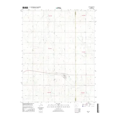 2015 Otis2015 Print · USGSThe community of Otis and its surrounding prairie landscapes are captured here in the mid-2010s, showing the intersection of rural transit and agriculture. Genealogists and local historians can locate the Lutheran Cem and trace the paths of Eagle Cr and Blood Cr.
 - 2015 Map of Liebenthal, 2015 Print
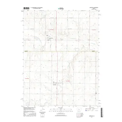 2015 Liebenthal2015 Print · USGSThe borderlands of Ellis and Rush counties are captured here in the mid-2010s, showcasing the rural landscape surrounding Schoenchen and Liebenthal. Researchers can trace local burial sites at Saint Anthony Cem and Saint Joseph Cem or follow the path of the Smoky Hill River.
 - 2015 Map of Rush Center SW, 2015 Print
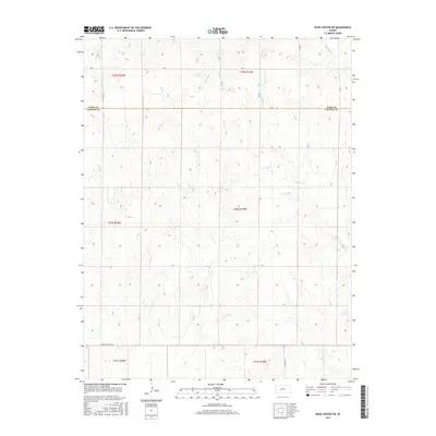 2015 Rush Center SW2015 Print · USGSPawnee and Rush Counties are captured in this mid-2010s survey of the Kansas High Plains, where the section grid meets winding seasonal creeks. Genealogists and land researchers can trace property locations along Old Maids Fork, Sandy Cr, and the historic Correction Line Rd.
 - 2015 Map of Alexander, 2015 Print
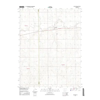 2015 Alexander2015 Print · USGSThe rural boundary of Ness and Rush counties is captured here in the mid-2010s, centered on the small plains settlement of Alexander. Genealogists and local historians can trace the landscape around Belle Prairie Cem and the winding course of Walnut Cr.
 - 2015 Map of Hargrave, 2015 Print
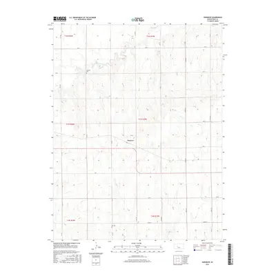 2015 Hargrave2015 Print · USGSRush County farmland appears here in a recent survey, showing the grid-based agricultural layout of central Kansas. Genealogists can locate family landmarks like Hampton Cem and Hall Cem, or trace the winding waters of Big Timber Cr near Hargrave.
Showing maps 1-25 of 60
Top cities of Rush County
- La Crosse historical maps
- Otis historical maps
- Bison historical maps
- McCracken historical maps
- Rush Center historical maps
- Liebenthal historical maps
See more
Frequently asked questions
- What are the different types of historical maps available for Rush County?
- What is the oldest map of Rush County?
- Where can I purchase historical maps of Rush County for my home or office?
- Where can I download high-res historical maps of Rush County?
- Are there historical topographic maps available for Rush County?
- Is there historical aerial imagery available for Rush County?
- Where are historical maps of Rush County sourced from?