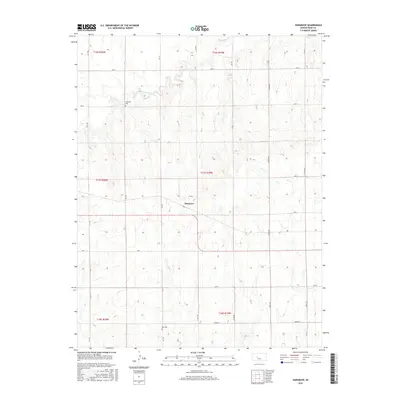
2015 Map of Hargrave
USGS Topo · Published 2015About this map
Hargrave sits at the center of this rural Rush County landscape, where the high plains of central Kansas are defined by a strictly organized grid of agricultural section lines. This 2015 survey reveals how local drainage systems like Big Timber Cr and Snake Cr carve gentle relief into the terrain, contrasting with the rigid geometry of roads such as CR 170 and Ave JJ. For those tracing local heritage, the map identifies small, isolated burial sites including Hampton Cem to the north and Hall Cem further south. These landmarks, along with the meandering path of Sand Cr, provide essential fixed points in a vast territory dominated by township boundaries and farm-to-market infrastructure.
Find a feature on this map
30 named features on this map. Tap any name to fly to it.
Don’t see what you’re looking for? This feature index may not catch every label — zoom into the map to look around manually.
Map Details
Editions of this 2015 Hargrave Map
This is the sole edition of this map. No revisions or reprints were ever made.
Other maps of this area

1889 · Larned
USGS Topo · 1:125,000

1891 · Larned
USGS Topo · 1:125,000

1892 · Ness
USGS Topo · 1:125,000

1893 · Ellis
USGS Topo · 1:125,000

1894 · Ness
USGS Topo · 1:125,000

1896 · Hays
USGS Topo · 1:125,000

1955 · Great Bend
USGS Topo · 1:250,000

1957 · Great Bend
USGS Topo · 1:250,000

1958 · Great Bend
USGS Topo · 1:250,000

1965 · Mc Cracken
USGS Topo · 1:24,000