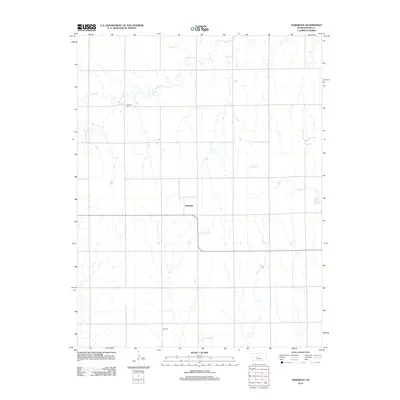
2012 Map of Hargrave
USGS Topo · Published 2012About this map
Hargrave sits at the heart of this central Kansas prairie landscape, where the drainage patterns of Big Timber Cr and its tributaries define the rolling topography of Rush County. The rural character of the region is evident in the sparse but significant landmarks that anchor the local history of the farming community. Two primary burial grounds, Hampton Cem in the northwest and Hall Cem to the south, provide critical points of reference for genealogists tracing family ties to the area's early settlers. The map details the seasonal waterways of Snake Cr and Sand Cr, which cut through the section lines of the high plains. This 2012 survey illustrates the enduring agricultural layout of the region, where the original homesteading grid remains the primary organizing force for both transport and settlement.
Find a feature on this map
6 named features on this map. Tap any name to fly to it.
Don’t see what you’re looking for? This feature index may not catch every label — zoom into the map to look around manually.
Map Details
Editions of this 2012 Hargrave Map
This is the sole edition of this map. No revisions or reprints were ever made.
Other maps of this area

1889 · Larned
USGS Topo · 1:125,000

1891 · Larned
USGS Topo · 1:125,000

1892 · Ness
USGS Topo · 1:125,000

1893 · Ellis
USGS Topo · 1:125,000

1894 · Ness
USGS Topo · 1:125,000

1896 · Hays
USGS Topo · 1:125,000

1955 · Great Bend
USGS Topo · 1:250,000

1957 · Great Bend
USGS Topo · 1:250,000

1958 · Great Bend
USGS Topo · 1:250,000

1965 · Mc Cracken
USGS Topo · 1:24,000