Old Maps of Loretta, Kansas for Academic Research
Study the evolution of Loretta with 11 high-resolution historic maps. Whether you're teaching, researching, or modeling changes in land use, these maps provide essential visual documentation of urban, environmental, and geographic change.
- Analyze long-term change: Track patterns in development, transportation, and natural features.
- Ideal for environmental or urban studies: Support academic projects with primary historical map data.
- Use in the classroom or lab: Educators and researchers rely on these maps to bring historical context to life.
These maps are a powerful tool for teaching, research, and visualizing how Loretta has changed over the decades.
Loretta, KS maps
(11)- 1896 Map of Hays
 1896 Hays1896 Print · USGSThe High Plains of central Kansas thrive in the 1890s as twin railroad corridors fuel the growth of new townships and farming communities. Genealogists can trace family roots through early settlements like Catharine, Munjor, and Liebenthal or locate family homesteads along the Union Pacific R. R. and Smoky Hill River.5 unique versions available
 - 1955 Map of Great Bend, 1966 Print
 1955 Great Bend1966 Print · USGSCentral Kansas during the mid-sixties transition reveals a landscape defined by new reservoirs and enduring rail corridors. Researchers can trace the development of towns like Hays and Great Bend or locate natural landmarks such as Round Mound and the wetlands of the Quivira National Wildlife Refuge.3 unique versions available
 - 1957 Map of Great Bend
 1957 Great Bend1957 Print · USGSCentral Kansas at the peak of the postwar era shows a landscape of growing rail hubs and massive new water projects. Trace the routes of the Union Pacific through Hays or locate the newly formed shorelines of Cedar Bluff Reservoir and Kanopolis Reservoir.
 - 1958 Map of Great Bend
 1958 Great Bend1958 Print · USGSCentral Kansas in the late fifties reveals a landscape of high-plains agriculture and vital river crossings. Researchers can trace the development of regional hubs like Hays and Russell, or locate historic sites such as Fort Larned and the Cheyenne Bottoms wildlife area.2 unique versions available
 - 1969 Map of Pfeifer, 1971 Print
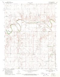 1969 Pfeifer1971 Print · USGSThe Smoky Hill River valley and the rural townships of Ellis and Rush Counties are captured here in the late sixties. Genealogists and local historians can trace family sites near Pfeifer, Loretta, Holy Cross Cem, and the many Oil Wells dotting the plains.
 - 1985 Map of Hays
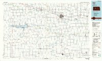 1985 Hays1985 Print · USGSCentral Kansas in the mid-eighties shows a landscape of river-valley farming and emerging energy production. Trace the route of the Butterfield Overland Despatch Trail or locate family roots in Hays, Liebenthal, or Schoenchen.2 unique versions available
 - 2009 Map of Pfeifer, 2009 Print
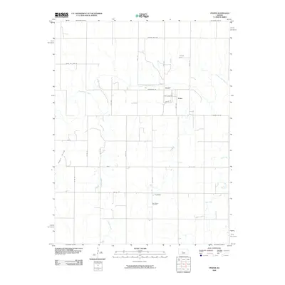 2009 Pfeifer2009 Print · USGSWestern Kansas at the turn of the millennium retains its deep-rooted agricultural patterns and small-town footprints. Genealogists and local historians can trace family ties at Holy Cross Cemetery and Saint Marys Cemetery or explore the rural routes around Pfeifer and Loretta.
 - 2012 Map of Pfeifer, 2012 Print
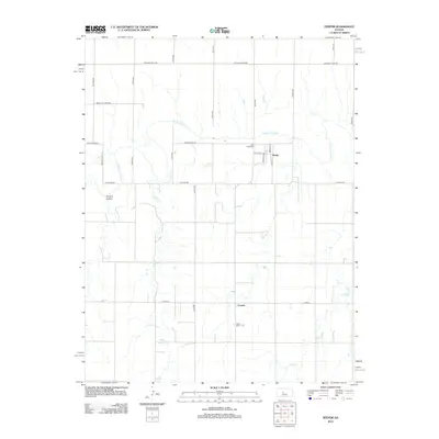 2012 Pfeifer2012 Print · USGSThe Smoky Hill River valley of Ellis County is captured here in the early twenty-first century, showing the rural communities of Pfeifer and Loretta. Genealogists can locate family sites near Holy Cross Cem or trace the paths of Shelter Cr and Duck Cr.
 - 2015 Map of Pfeifer, 2015 Print
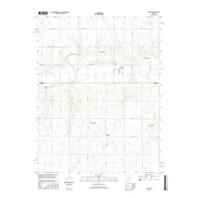 2015 Pfeifer2015 Print · USGSThe Ellis and Rush County line in the mid-2010s reveals a landscape of high plains agriculture and German-Russian heritage. Researchers can locate the Volga German settlement of Pfeifer, trace the Smoky Hill River, and find Holy Cross Cem.
 - 2018 Map of Pfeifer, 2018 Print
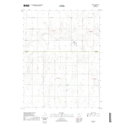 2018 Pfeifer2018 Print · USGSThe rural borderlands of Ellis and Rush counties are captured in this recent survey, featuring the riverside community of Pfeifer. Genealogists and local historians can locate Holy Cross Cem and Saint Mary's Cem or trace the path of the Smoky Hill River.
 - 2022 Map of Pfeifer, 2022 Print
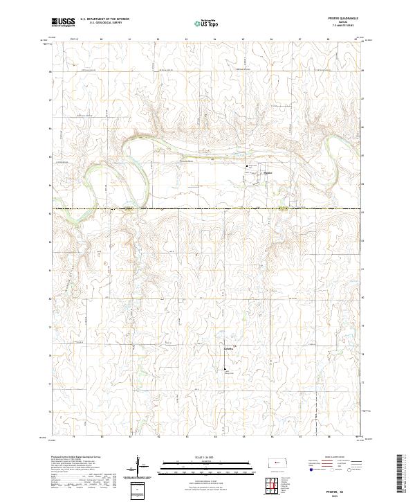 2022 Pfeifer2022 Print · USGSThe High Plains of Ellis and Rush counties are captured here in the early twenty-first century, centered on the river-cut valley of the Smoky Hill River. Genealogists and local historians can locate the rural settlements of Pfeifer and Loretta, including landmarks like Holy Cross Cem and the distinctively named Hungry Hollow.
End of results
Showing maps 1-11 of 11
Top cities near Loretta
- Hays historical maps
- La Crosse historical maps
- Victoria historical maps
- Gorham historical maps
- Otis historical maps
- Bison historical maps
See more
Frequently asked questions
- What are the different types of historical maps available for Loretta?
- What is the oldest map of Loretta?
- Where can I purchase historical maps of Loretta for my home or office?
- Where can I download high-res historical maps of Loretta?
- Are there historical topographic maps available for Loretta?
- Is there historical aerial imagery available for Loretta?
- Where are historical maps of Loretta sourced from?