2000s (21st Century) Maps of Russell County, Kansas
Explore 150 historic maps of Russell County from the 2000s (21st Century). These maps offer a rare glimpse into what life looked like during the 2000s — showing old roads, neighborhoods, homes, and landmarks that have changed or disappeared over time.
Whether you're researching your family's past, planning a metal detecting trip, or studying how Russell County's landscape evolved across the 2000s, these high-resolution maps are a powerful tool for exploring the history of this region.
- Focus on a specific era: All maps on this page are from the 2000s, giving you a focused view of this time period.
- See what’s changed: Compare century-old streets, trails, and buildings to today's modern landscape using overlays and satellite layers.
- Research with precision: Use these maps for genealogy, historical research, land use analysis, or educational projects.
- View, download, or print: Maps are fully viewable online in high resolution, and can be downloaded or printed for your own records.
Start exploring Russell County's history through authentic maps from the 2000s. This is your window into the past.
Russell County, KS maps
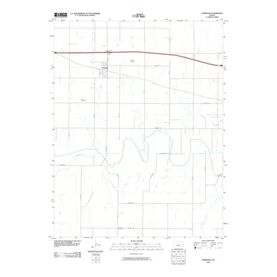
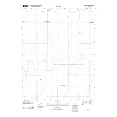
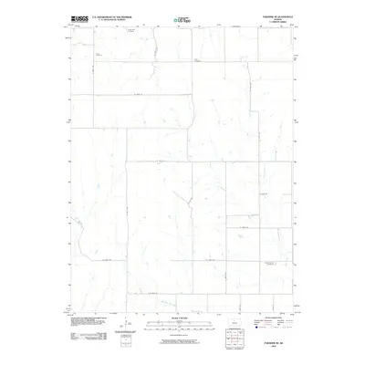
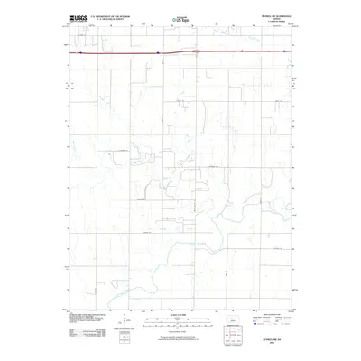
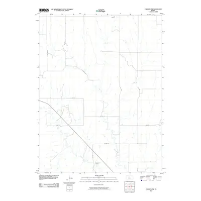
(150)- 2009 Map of Dubuque, 2009 Print
 2009 Dubuque2009 Print · USGSCovers Russell County, including Dubuque, Barton County, and other nearby areas
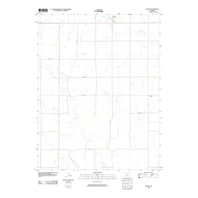
 - 2009 Map of Wilson, 2009 Print
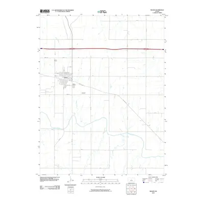 2009 Wilson2009 Print · USGSCovers Russell County, including Wilson, Lincoln County, and other nearby areas
 - 2009 Map of Dorrance, 2009 Print
 2009 Dorrance2009 Print · USGSCovers Russell County, including Dorrance, United States, and other nearby areas
 - 2009 Map of Lucas, 2009 Print
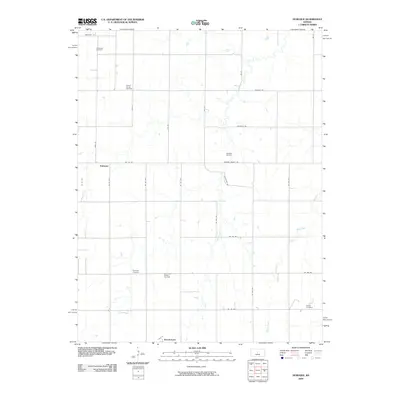
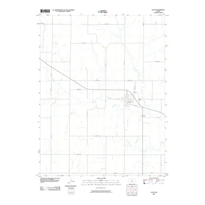 2009 Lucas2009 Print · USGSCovers Russell County, including Lucas, United States, and other nearby areas
 - 2009 Map of Dorrance SW, 2009 Print
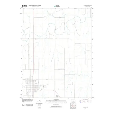
 2009 Dorrance SW2009 Print · USGSCovers Russell County, including Bunker Hill, United States, and other nearby areas
 - 2009 Map of Luray, 2009 Print
 2009 Luray2009 Print · USGSCovers Russell County, including Luray, United States, and other nearby areas
 - 2009 Map of Vincent, 2009 Print
 2009 Vincent2009 Print · USGSCovers Russell County, including Cheyenne, Cheyenne Gap, and other nearby areas
 - 2009 Map of Sylvan Grove, 2009 Print
 2009 Sylvan Grove2009 Print · USGSCovers Russell County, including Sylvan Grove, Wolf Creek, and other nearby areas
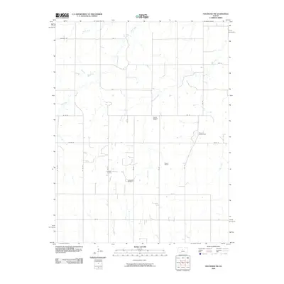
 - 2009 Map of Hunter, 2009 Print
 2009 Hunter2009 Print · USGSCovers Russell County, including Hunter, Osborne County, and other nearby areas
 - 2009 Map of Otis NE, 2009 Print
 2009 Otis NE2009 Print · USGSCovers Russell County, including Ellis County, Barton County, and other nearby areas
 - 2009 Map of Fairport, 2009 Print
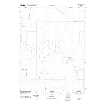 2009 Fairport2009 Print · USGSCovers Russell County, including Fairport, Ellis County, and other nearby areas
 - 2009 Map of Susank, 2009 Print
 2009 Susank2009 Print · USGSCovers Russell County, including Susank, Stickney, and other nearby areas
 - 2009 Map of Paradise NE, 2009 Print
 2009 Paradise NE2009 Print · USGSCovers Russell County, including Waldo, Osborne County, and other nearby areas
 - 2009 Map of Waldo, 2009 Print
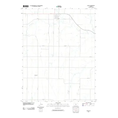
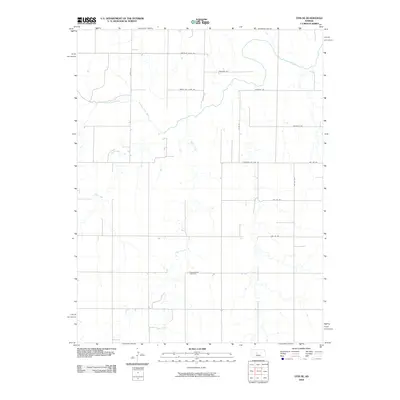
 2009 Waldo2009 Print · USGSCovers Russell County, including Waldo, United States, and other nearby areas
 - 2009 Map of Russell NW, 2009 Print
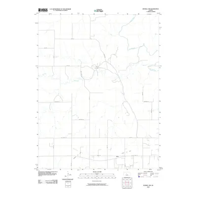 2009 Russell NW2009 Print · USGSCovers Russell County, including Balta, United States, and other nearby areas
 - 2009 Map of Paradise, 2009 Print
 2009 Paradise2009 Print · USGSCovers Russell County, including Paradise, United States, and other nearby areas
 - 2009 Map of Russell SW, 2009 Print
 2009 Russell SW2009 Print · USGSCovers Russell County, including United States, Kansas, and other nearby areas
 - 2009 Map of Russell, 2009 Print
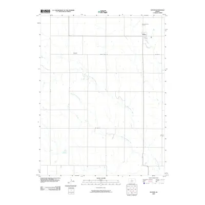
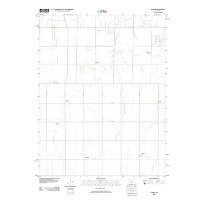
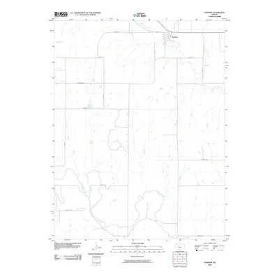
 2009 Russell2009 Print · USGSCovers Russell County, including Russell, United States, and other nearby areas
 - 2009 Map of Holyrood NW, 2009 Print
 2009 Holyrood NW2009 Print · USGSCovers Russell County, including Barton County, Ellsworth County, and other nearby areas
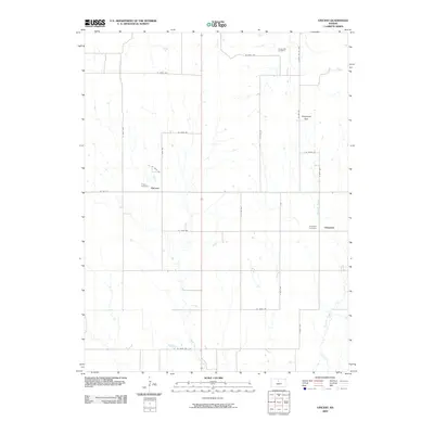
 - 2009 Map of Beaver, 2009 Print
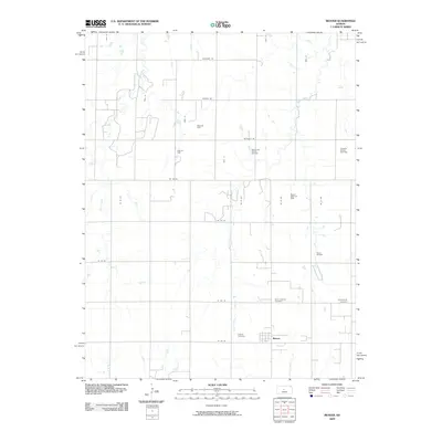 2009 Beaver2009 Print · USGSCovers Russell County, including Beaver, Barton County, and other nearby areas
 - 2009 Map of Galatia, 2009 Print
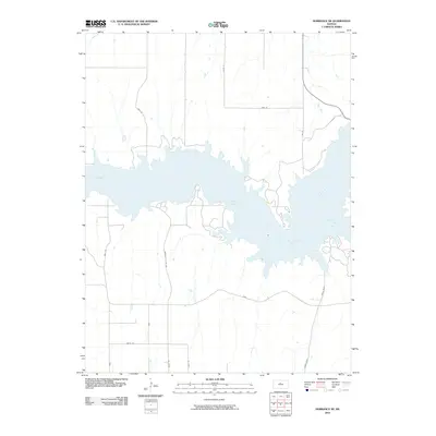
 2009 Galatia2009 Print · USGSCovers Russell County, including Galatia, Milberger, and other nearby areas
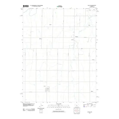
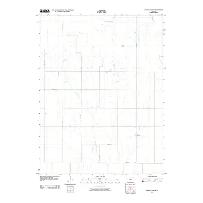
 - 2009 Map of Meades Ranch, 2009 Print
 2009 Meades Ranch2009 Print · USGSCovers Russell County, including Osborne County, United States, and other nearby areas
 - 2010 Map of Dorrance NE, 2010 Print
 2010 Dorrance NE2010 Print · USGSCovers Russell County, including United States, Kansas, and other nearby areas
 - 2010 Map of Gorham, 2010 Print
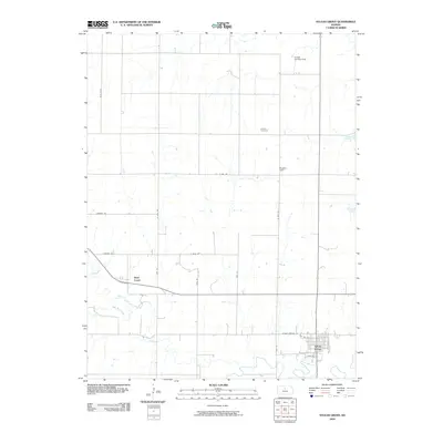
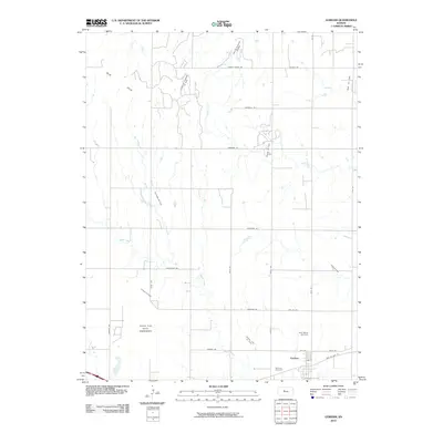 2010 Gorham2010 Print · USGSCovers Russell County, including Gorham, Ellis County, and other nearby areas
 - 2010 Map of Paradise NW, 2010 Print
 2010 Paradise NW2010 Print · USGSCovers Russell County, including Osborne County, United States, and other nearby areas
Showing maps 1-25 of 150
Top cities of Russell County
- Russell historical maps
- Lucas historical maps
- Gorham historical maps
- Dorrance historical maps
- Luray historical maps
- Bunker Hill historical maps
See more
Frequently asked questions
- What are the different types of historical maps available for Russell County?
- What is the oldest map of Russell County?
- Where can I purchase historical maps of Russell County for my home or office?
- Where can I download high-res historical maps of Russell County?
- Are there historical topographic maps available for Russell County?
- Is there historical aerial imagery available for Russell County?
- Where are historical maps of Russell County sourced from?