2000-2009 Maps of Russell County, Kansas
Explore 22 historic maps of Russell County from 2000-2009. These maps offer a rare glimpse into what life looked like during the 2000s — showing old roads, neighborhoods, homes, and landmarks that have changed or disappeared over time.
Whether you're researching your family's past, planning a metal detecting trip, or studying how Russell County's landscape evolved across the 2000s, these high-resolution maps are a powerful tool for exploring the history of this region.
- Focus on a specific era: All maps on this page are from the 2000s, giving you a focused view of this time period.
- See what’s changed: Compare century-old streets, trails, and buildings to today's modern landscape using overlays and satellite layers.
- Research with precision: Use these maps for genealogy, historical research, land use analysis, or educational projects.
- View, download, or print: Maps are fully viewable online in high resolution, and can be downloaded or printed for your own records.
Start exploring Russell County's history through authentic maps from the 2000s. This is your window into the past.
Russell County, KS maps
(22)- 2009 Map of Dubuque, 2009 Print
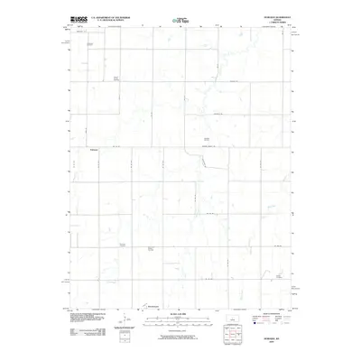 2009 Dubuque2009 Print · USGSBarton County, Kansas, is documented here in the early twenty-first century as a landscape of rural homesteads and active energy fields. Genealogists and local historians can locate ancestral sites like Immanuel Cemetery or trace the early oil industry at Davidson Oil Field.
 - 2009 Map of Wilson, 2009 Print
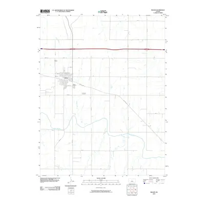 2009 Wilson2009 Print · USGSThe town of Wilson is captured here just as the new millennium's first decade drew to a close, showing the intersection of local life and the prairie. Researchers can trace family sites at the Old Wilson Cemetery or follow the winding course of the Smoky Hill River.
 - 2009 Map of Dorrance, 2009 Print
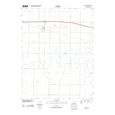 2009 Dorrance2009 Print · USGSDorrance and the surrounding Russell County plains are captured here in the early twenty-first century as the landscape remains tied to its rural roots. Genealogists can trace family locations through Saint Joseph Cemetery, Colony Cemetery, and landmarks like Thielen Airport.
 - 2009 Map of Lucas, 2009 Print
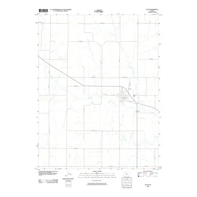 2009 Lucas2009 Print · USGSLucas sits at a crossroads of the Kansas prairie during the early twenty-first century, serving as a vital agricultural and community center. Researchers can trace local land patterns and family landmarks like the Lucas Cemetery, the Lucas City Lake Dam, and Wolf Creek.
 - 2009 Map of Dorrance SW, 2009 Print
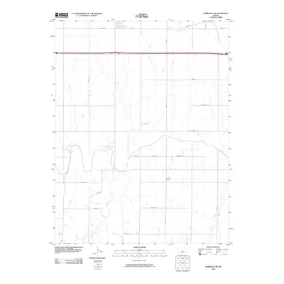 2009 Dorrance SW2009 Print · USGSBunker Hill and the surrounding Russell County prairie are captured here at the end of the first decade of the 2000s. Genealogists and local historians can trace the rural landscape near the Smoky Hill River and locate sites like Hyde Park Cemetery and Waters.
 - 2009 Map of Luray, 2009 Print
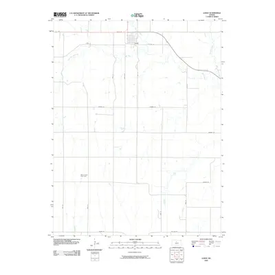 2009 Luray2009 Print · USGSRussell County's agricultural heartland is documented here at the turn of the millennium, centered on the small community of Luray. Researchers can trace old family homesteads near Wolf Creek or locate landmarks like the Motor Cross Race Track and Waldo Rd.
 - 2009 Map of Vincent, 2009 Print
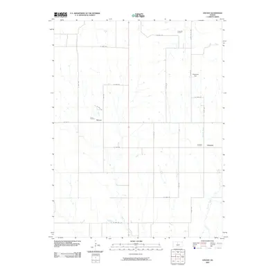 2009 Vincent2009 Print · USGSOsborne County farmsteads and rural crossroads define this Kansas landscape during the early twenty-first century. Genealogists can locate family burial sites at Potterville Cemetery and Vincent Cemetery or trace the drainage of Fourmile Creek.
 - 2009 Map of Sylvan Grove, 2009 Print
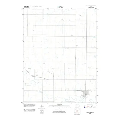 2009 Sylvan Grove2009 Print · USGSSylvan Grove sits at the confluence of prairie and stream in this 2009 study of Lincoln County. Genealogists and local historians can trace family ties at the Rosette Cemetery, locate the rural Rosette Hall, or follow the winding path of Wolf Creek.
 - 2009 Map of Hunter, 2009 Print
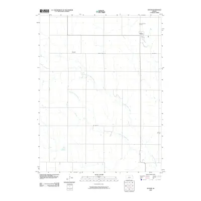 2009 Hunter2009 Print · USGSThe community of Hunter and the surrounding Mitchell County farmstead grid are documented here in the first decade of the 2000s. Genealogists can trace local roots through the Greenwood Union Cemetery, Elm Creek Cemetery, and the paths of North Branch Spillman Creek.
 - 2009 Map of Otis NE, 2009 Print
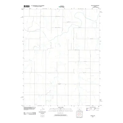 2009 Otis NE2009 Print · USGSThe rural expanse of Ellis County is captured here in the early 2000s, defined by the winding Smoky Hill River and its tributaries. Local history researchers can locate the Pleasantdale Cemetery and trace old routes like Chetolah Gold Rd.
 - 2009 Map of Fairport, 2009 Print
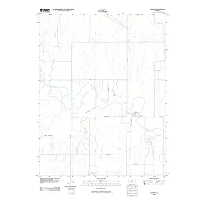 2009 Fairport2009 Print · USGSFairport and the Russell County borderlands are documented here in the early twenty-first century, featuring the winding path of the Saline River. Genealogists and local historians can locate the Fairport Cemetery and trace the agricultural grid along Ellis County Line Rd and Severin Rd.
 - 2009 Map of Susank, 2009 Print
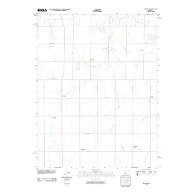 2009 Susank2009 Print · USGSBarton County in the late 2000s remains a landscape of remote farmsteads and agricultural heritage. Researchers can trace the lineage of local families through landmarks like Michaelis Cemetery, the Templing Oil Field, and the small settlement of Susank.
 - 2009 Map of Paradise NE, 2009 Print
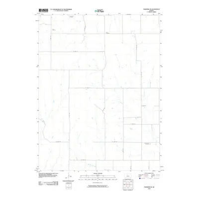 2009 Paradise NE2009 Print · USGSRussell County, Kansas, is documented here in the early 2000s, showing a landscape defined by traditional section-line farming and prairie drainage. Genealogists can trace local family history through the locations of Victor Cemetery, Cole Cemetery, and Grand Center Cemetery.
 - 2009 Map of Waldo, 2009 Print
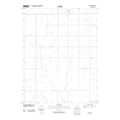 2009 Waldo2009 Print · USGSWaldo and the surrounding Russell County ranchlands are captured here during the first decade of the millennium. Genealogists and local historians can trace family roots at Amherst Cemetery or follow the riparian paths of Paradise Creek and Boswell Creek.
 - 2009 Map of Russell NW, 2009 Print
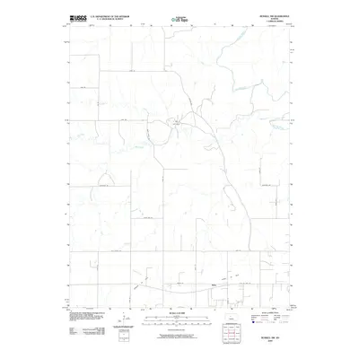 2009 Russell NW2009 Print · USGSRussell County's prairie landscape is captured here in the early 21st century, showing the intersection of ranching and the energy industry. Genealogists and researchers can trace local land use through the S And S Oil Field and the small settlement of Balta.
 - 2009 Map of Paradise, 2009 Print
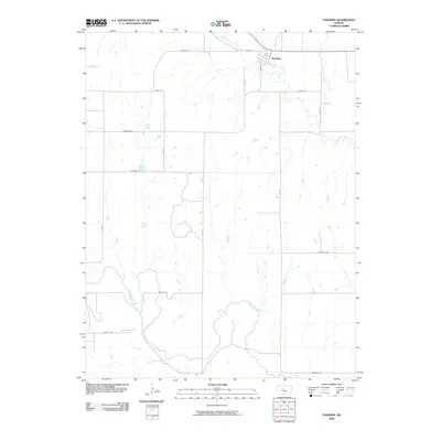 2009 Paradise2009 Print · USGSThe rural landscape of Russell County is captured in the early 21st century as agricultural life continues around the small town of Paradise. Genealogists and researchers can trace local land patterns along the Saline River and family-named routes like Mellard Rd and Beatty Rd.
 - 2009 Map of Russell SW, 2009 Print
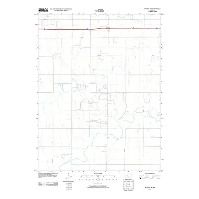 2009 Russell SW2009 Print · USGSRussell County's agricultural heartland is documented here in the early twenty-first century as modern interstate travel meets the ancient path of the river. Trace the winding course of the Smoky Hill River or follow rural routes like Balta Galatia Rd and Fairfield Rd.
 - 2009 Map of Russell, 2009 Print
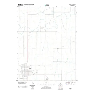 2009 Russell2009 Print · USGSThe city of Russell is shown in the early twenty-first century, anchored by its grid of streets and the winding Saline River. Genealogists and historians can trace local landmarks like the Claussen Oil Field, Russell Municipal Airport, and several creeks.
 - 2009 Map of Holyrood NW, 2009 Print
 2009 Holyrood NW2009 Print · USGSBarton County at the end of the first decade of the 21st century remains a landscape of sprawling oil fields and remote prairie cemeteries. Genealogists and land researchers can pinpoint Palacky Cemetery and trace active energy production at the Stoltenberg Oil Field or Progress Oil Field.
 - 2009 Map of Beaver, 2009 Print
 2009 Beaver2009 Print · USGSBarton County, Kansas, is shown at the end of the first decade of the millennium as a landscape defined by its petroleum industry. Genealogists can locate family sites at Saint Josephs Cemetery, Presbyterian Cemetery, and the Meier Oil Field.
 - 2009 Map of Galatia, 2009 Print
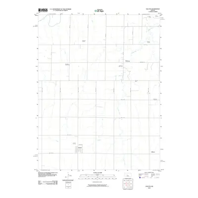 2009 Galatia2009 Print · USGSBarton County at the turn of the millennium shows a landscape shaped by petroleum and agriculture. Genealogists can trace family footprints through sites like Fairview Cemetery and Milberger Cemetery, or locate rural holdings near the Roosevelt Oil Field.
 - 2009 Map of Meades Ranch, 2009 Print
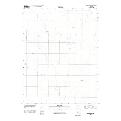 2009 Meades Ranch2009 Print · USGSOsborne County remains a vital link to the history of American surveying in the early twenty-first century. Genealogists and researchers can trace local landmarks like Meades Ranch, Delhi Cemetery, and the drainage of East Fork Wolf Creek.
End of results
Showing maps 1-22 of 22
Top cities of Russell County
- Russell historical maps
- Lucas historical maps
- Gorham historical maps
- Dorrance historical maps
- Luray historical maps
- Bunker Hill historical maps
See more
Frequently asked questions
- What are the different types of historical maps available for Russell County?
- What is the oldest map of Russell County?
- Where can I purchase historical maps of Russell County for my home or office?
- Where can I download high-res historical maps of Russell County?
- Are there historical topographic maps available for Russell County?
- Is there historical aerial imagery available for Russell County?
- Where are historical maps of Russell County sourced from?