Old Maps of Balta, Kansas for Hiking & Exploration
Hike through history with 11 historic maps of Balta. Explore old trails, ghost towns, and forgotten backroads — perfect for outdoor adventurers and local explorers.
- Rediscover forgotten places: Map out old mining camps, roads, and footpaths that no longer exist on modern maps.
- Layer with modern tools: Combine with LiDAR or satellite views to plan hikes through historical terrain.
- Made for exploration: Popular among hikers, overlanders, and local history lovers.
Use these maps to find adventure and explore the hidden past of Balta.
Balta, KS maps
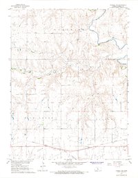
(11)- 1896 Map of Russell
 1896 Russell1896 Print · USGSCentral Kansas at the end of the nineteenth century reveals a landscape shaped by the Union Pacific and Missouri Pacific railroads. Genealogists can trace early homesteads near Maherville P.O., Dubuque, and the marshy Cheyenne Bottoms.4 unique versions available
 - 1955 Map of Great Bend, 1966 Print
 1955 Great Bend1966 Print · USGSCentral Kansas during the mid-sixties transition reveals a landscape defined by new reservoirs and enduring rail corridors. Researchers can trace the development of towns like Hays and Great Bend or locate natural landmarks such as Round Mound and the wetlands of the Quivira National Wildlife Refuge.3 unique versions available
 - 1957 Map of Great Bend
 1957 Great Bend1957 Print · USGSCentral Kansas at the peak of the postwar era shows a landscape of growing rail hubs and massive new water projects. Trace the routes of the Union Pacific through Hays or locate the newly formed shorelines of Cedar Bluff Reservoir and Kanopolis Reservoir.
 - 1958 Map of Great Bend
 1958 Great Bend1958 Print · USGSCentral Kansas in the late fifties reveals a landscape of high-plains agriculture and vital river crossings. Researchers can trace the development of regional hubs like Hays and Russell, or locate historic sites such as Fort Larned and the Cheyenne Bottoms wildlife area.2 unique versions available
 - 1967 Map of Russell NW, 1968 Print
 1967 Russell NW1968 Print · USGSRussell County, Kansas, in the late 1960s was a landscape defined by its deep ties to the petroleum industry and the rail lines. Here, you can trace the extensive Paradise Oil Field, locate the Drive-in Theater, and follow the Union Pacific tracks past Balta.
 - 1985 Map of Russell
 1985 Russell1985 Print · USGSCentral Kansas in the mid-eighties shows a landscape defined by the energy industry and massive water projects. Genealogists and researchers can trace the rural road networks connecting Russell and Ellsworth to smaller locales like Dubuque and Black Wolf.2 unique versions available
 - 2009 Map of Russell NW, 2009 Print
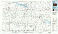
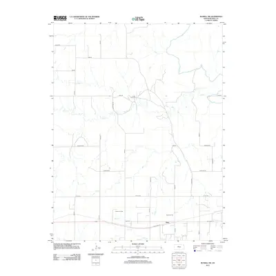
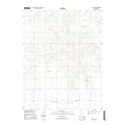
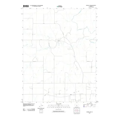 2009 Russell NW2009 Print · USGSCovers Balta, including Russell County, United States, and other nearby areas
 - 2012 Map of Russell NW, 2012 Print
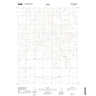
 2012 Russell NW2012 Print · USGSCovers Balta, including Russell County, United States, and other nearby areas
 - 2015 Map of Russell NW, 2015 Print
 2015 Russell NW2015 Print · USGSCovers Balta, including Russell County, United States, and other nearby areas
 - 2018 Map of Russell NW, 2018 Print
 2018 Russell NW2018 Print · USGSCovers Balta, including Russell County, United States, and other nearby areas
 - 2022 Map of Russell NW, 2022 Print
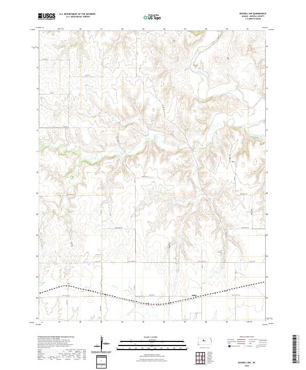 2022 Russell NW2022 Print · USGSNorthwest of Russell in the early twenty-first century, this landscape shows the meeting of agricultural sections and the Saline River basin. Researchers can trace the layout of the settlement at Balta and follow the route of Old US Hwy 40 as it crosses Fossil Cr.
End of results
Showing maps 1-11 of 11
Top cities near Balta
Frequently asked questions
- What are the different types of historical maps available for Balta?
- What is the oldest map of Balta?
- Where can I purchase historical maps of Balta for my home or office?
- Where can I download high-res historical maps of Balta?
- Are there historical topographic maps available for Balta?
- Is there historical aerial imagery available for Balta?
- Where are historical maps of Balta sourced from?