Old Maps of Stevens County, Kansas for Metal Detecting
Plan your next treasure hunt with 159 historic maps of Stevens County. Find old homesites, ghost towns, trails, and gathering spots that may be lost to time — perfect for identifying promising metal detecting locations.
- Locate forgotten sites: Uncover places like long-lost settlements, abandoned rail lines, or gathering spots.
- Plan better hunts: Use map overlays combined with LiDAR or satellite views to narrow in on historically rich areas.
- Made for detectorists: Thousands of hobbyists use these maps to discover relics, coins, and hidden history.
Use these historic maps to boost your research and find new opportunities beneath the surface of Stevens County.
Stevens County, KS maps
(159)- 1944 Map of Moscow
 1944 Moscow1944 Print · USGSThe high plains of southwest Kansas are documented here in the mid-1940s, showing a landscape defined by the Cimarron River and the rail line. Researchers can trace the network of local schoolhouses like Riverview Sch and Golden Plains Sch that once anchored these rural townships.
 - 1945 Map of Moscow
 1945 Moscow1945 Print · USGSStevens County in the early 1940s is captured here as a landscape of rural schoolhouses and high plains rail traffic. Genealogists can locate family-named sites like Vanceville Sch and Ethelton Sch or trace the Atchison Topeka and Santa Fe through Moscow.
 - 1954 Map of Perryton, 1966 Print
 1954 Perryton1966 Print · USGSThe High Plains of the Texas and Oklahoma panhandles are shown during a period of steady growth in the mid-1950s. Genealogists and researchers can trace rail history and local landmarks like Panhandle A & M College, Spurlock Chapel, and the isolated Lord Station.3 unique versions available
 - 1955 Map of Dodge City, 1968 Print
 1955 Dodge City1968 Print · USGSSouthwest Kansas in the mid-fifties reveals an expansive landscape of cattle towns, early gas fields, and prairie outposts. Researchers can trace rural school districts like Moundview and Good Luck or locate the Kansas State Game Farm near Lakin.3 unique versions available
 - 1958 Map of Perryton
 1958 Perryton1958 Print · USGSThe Oklahoma Panhandle and Texas borderlands come alive in this mid-century survey, showing the vital rail-and-ranch economy of the High Plains. Researchers can trace historic stops along the Chicago Rock Island and Pacific and locate rural landmarks like Bethel Church and Spurlock Chapel.
 - 1958 Map of Dodge City
 1958 Dodge City1958 Print · USGSSouthwest Kansas in the late fifties shows a landscape of river-valley agriculture and burgeoning energy infrastructure. Genealogists can trace rural life through numerous landmarks like Fairview Cemetery, the Goodwell School, and Concord Church.
 - 1959 Map of Dodge City
 1959 Dodge City1959 Print · USGSSouthwest Kansas in the mid-fifties is captured at its agricultural height, centered on the vital rail and river hubs of Dodge City and Garden City. Genealogists and local historians can trace rural school districts like Shockey School and Hickok School or locate the Fairview Cemetery.
 - 1967 Map of Straight, 1968 Print
 1967 Straight1968 Print · USGSThe Oklahoma-Kansas borderlands come into focus in the late 1960s, showing a landscape defined by the high plains energy industry. Genealogists and historians can locate the small settlement of Straight, the nearby Straight Landing Field, and Wild Horse Lake.
 - 1967 Map of Straight NE, 1968 Print
 1967 Straight NE1968 Print · USGSThe Oklahoma Panhandle and Kansas border come alive in the late sixties as the energy economy transforms the agricultural plains. Genealogists and researchers can locate the Prairie Rose Community Center and trace the development of township lands in Friendship and Banner.
 - 1967 Map of Hooker NW, 1968 Print
 1967 Hooker NW1968 Print · USGSThe Oklahoma and Kansas borderlands are defined by energy production and heavy rail in the late sixties. Genealogists and industrial historians can trace the paths of the Chicago Rock Island and Pacific railroad and find dozens of active Gas Wells across Hooker.
 - 1967 Map of Tyrone, 1968 Print
 1967 Tyrone1968 Print · USGSTexas County, Oklahoma, was a landscape defined by the railroad and the oil field during the late sixties. Genealogists and local historians can trace the grid of section lines near Tyrone, locating the Tyrone Cem and the industrial hub at Fluor.2 unique versions available
 - 1973 Map of Rolla NE, 1975 Print
 1973 Rolla NE1975 Print · USGSThe High Plains of the Kansas-Oklahoma border region are captured here in the early seventies, showing a landscape defined by energy and rail. Genealogists and historians can trace the Atchison Topeka and Santa Fe line and the Cimarron River valley.
 - 1973 Map of Hough NE, 1975 Print
 1973 Hough NE1975 Print · USGSThe Oklahoma-Kansas borderlands in the early seventies reveal an intensive landscape of energy production and High Plains settlement. Researchers can trace family history at Barden Memorial Cem or locate the path of the Old RR Grade near Pony Creek.
 - 1974 Map of Rolla SE, 1975 Print
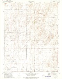 1974 Rolla SE1975 Print · USGSThe southwestern corner of Kansas in the mid-1970s reveals a landscape shaped by energy production and rail transport. Genealogists and historians can trace the industrial footprint of Rolla through its A T & S F rail connection, regional Gas Wells, and the Compressor Station.2 unique versions available
 - 1974 Map of Hugoton SE, 1975 Print
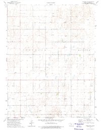 1974 Hugoton SE1975 Print · USGSStevens County, Kansas, is captured in the mid-1970s as a landscape defined by the energy industry and rural townships. Researchers can trace the layout of Voorhees and Banner, locating the central Townhall and scores of individual Gas Well sites.
 - 1974 Map of Hugoton, 1975 Print
 1974 Hugoton1975 Print · USGSHugoton served as a vital energy and rail hub on the Kansas high plains during the mid-seventies. Local historians can trace the town's layout from the Hugoton Cem to industrial landmarks like the Compressor Station and the Drive-in Theater.
 - 1974 Map of Feterita, 1975 Print
 1974 Feterita1975 Print · USGSStevens County is shown here in the mid-seventies, a period defined by the expansion of the regional natural gas industry. Local historians can trace the Atchison Topeka and Santa Fe rail line through the settlement of Feterita and locate numerous scattered Gas Wells.
 - 1974 Map of Hugoton SW, 1975 Print
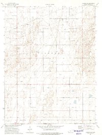 1974 Hugoton SW1975 Print · USGSThe High Plains of Stevens County meet the Oklahoma panhandle in the mid-1970s, during a peak era of energy extraction. Researchers can trace the extensive network of the Hugoton gas field through numerous Gas Wells and the Pipelines that traverse Voorhees.
 - 1974 Map of Wagon Bed Spring NW, 1976 Print
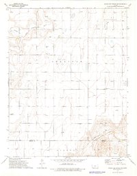 1974 Wagon Bed Spring NW1976 Print · USGSHigh Plains history and energy development converge in southwestern Kansas during the mid-seventies. Trace the historic path of the Old Santa Fe Trail and locate family landmarks like the Golden Cemetery or various Gas Well sites.
 - 1974 Map of Shore Airport SE, 1976 Print
 1974 Shore Airport SE1976 Print · USGSThe high plains of southwest Kansas in the mid-1970s reveal a landscape defined by pioneer history and modern energy production. Researchers can trace the Old Santa Fe Trail or locate the site of Dermot School and Dermot Cemetery.
 - 1974 Map of Wagon Bed Spring SW, 1976 Print
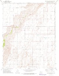 1974 Wagon Bed Spring SW1976 Print · USGSThe northern reaches of Stevens County in the mid-1970s reveal the intersection of pioneer history and the energy industry. Researchers can trace the Old Santa Fe Trail near the Cimarron River alongside modern industrial Gas Wells.
 - 1974 Map of Woods SW, 1976 Print
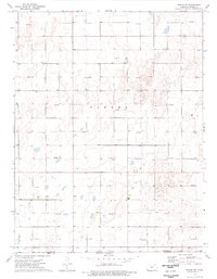 1974 Woods SW1976 Print · USGSThe Kansas-Oklahoma borderlands in the mid-1970s are shown here as a grid of energy production and homestead boundaries. Genealogists and researchers can trace the rural landscape near Bethel Ch or locate industrial sites like Gas Wells across the township of Banner.
 - 1974 Map of Wagon Bed Spring, 1976 Print
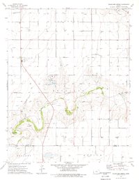 1974 Wagon Bed Spring1976 Print · USGSThe high plains of southwest Kansas meet the legacy of the western frontier in the 1970s. Trace the path of the Old Santa Fe Trail and locate family landmarks like Zionville Cem or the historic Wagon Bed Spring.
 - 1974 Map of Woods SE, 1976 Print
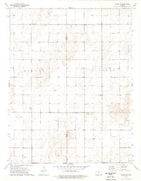 1974 Woods SE1976 Print · USGSThe Kansas-Oklahoma border comes alive in the mid-1970s, showcasing a landscape defined by ranching and energy extraction. Genealogists and historians can locate Dewey and the Community Hall among a vast network of Gas Well and Oil Well sites.
 - 1974 Map of Moscow SE, 1976 Print
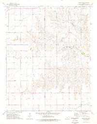 1974 Moscow SE1976 Print · USGSSeward and Stevens counties appear here during the mid-1970s, showcasing a landscape shaped by the Cimarron River and energy production. Researchers can trace land use through detailed field lines or locate local landmarks like Golden Plains Cem and the northern Compressor Station.
Showing maps 1-25 of 159
Top cities of Stevens County
Frequently asked questions
- What are the different types of historical maps available for Stevens County?
- What is the oldest map of Stevens County?
- Where can I purchase historical maps of Stevens County for my home or office?
- Where can I download high-res historical maps of Stevens County?
- Are there historical topographic maps available for Stevens County?
- Is there historical aerial imagery available for Stevens County?
- Where are historical maps of Stevens County sourced from?