2000s (21st Century) Maps of Stevens County, Kansas
Explore 125 historic maps of Stevens County from the 2000s (21st Century). These maps offer a rare glimpse into what life looked like during the 2000s — showing old roads, neighborhoods, homes, and landmarks that have changed or disappeared over time.
Whether you're researching your family's past, planning a metal detecting trip, or studying how Stevens County's landscape evolved across the 2000s, these high-resolution maps are a powerful tool for exploring the history of this region.
- Focus on a specific era: All maps on this page are from the 2000s, giving you a focused view of this time period.
- See what’s changed: Compare century-old streets, trails, and buildings to today's modern landscape using overlays and satellite layers.
- Research with precision: Use these maps for genealogy, historical research, land use analysis, or educational projects.
- View, download, or print: Maps are fully viewable online in high resolution, and can be downloaded or printed for your own records.
Start exploring Stevens County's history through authentic maps from the 2000s. This is your window into the past.
Stevens County, KS maps
(125)- 2010 Map of Ryus, 2010 Print
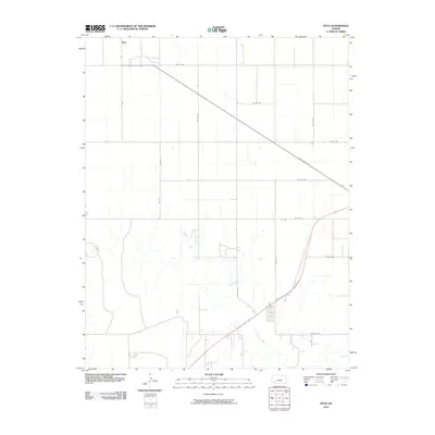 2010 Ryus2010 Print · USGSGrant County is captured in the early twenty-first century, showing the intersection of high plains agriculture and major transit corridors. Researchers can trace the path of the Cimarron River or locate the rural settlement of Ryus along State Hwy 190.
 - 2010 Map of Hugoton, 2010 Print
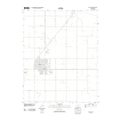 2010 Hugoton2010 Print · USGSHugoton sits at a critical High Plains crossroads in the early twenty-first century, serving as the seat of Stevens County. Researchers can trace the town's expansion toward the Hugoton Cemetery or locate the Stevens County Fairgrounds and Hugoton Municipal Airport.
 - 2010 Map of Moscow NW, 2010 Print
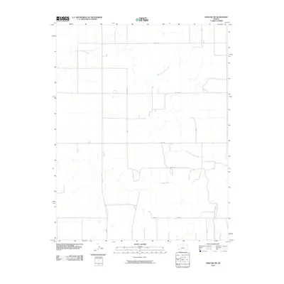 2010 Moscow NW2010 Print · USGSSullivan Township at the start of the decade shows the intersection of the North Fork Cimarron River and the High Plains road grid. Genealogists and historians can trace property boundaries along S Rd R, Co Rd 22, and the main Cimarron River.
 - 2010 Map of Feterita, 2010 Print
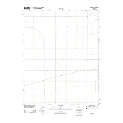 2010 Feterita2010 Print · USGSStevens County is captured here at the start of the decade, showing the organized agricultural grid of the High Plains. Researchers can trace the layout of the Feterita settlement and the path of US Hwy 56 as it cuts across the rural landscape.
 - 2010 Map of Shore Airport NE, 2010 Print
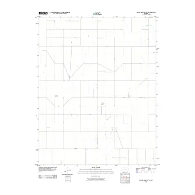 2010 Shore Airport NE2010 Print · USGSSullivan Township and the High Plains of Southwest Kansas are documented here in the early twenty-first century. Genealogists and local historians can trace the rural landscape near Liverpool Cemetery and follow the path of the North Fork Cimarron River.
 - 2010 Map of Hugoton SE, 2010 Print
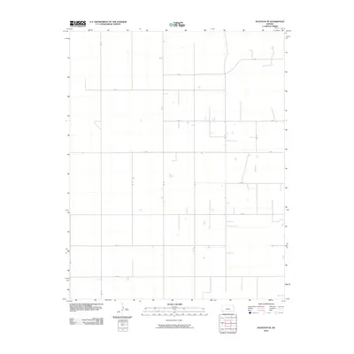 2010 Hugoton SE2010 Print · USGSThe High Plains of Stevens County are captured here in the early twenty-first century, showing a landscape defined by its agricultural grid. Family researchers and historians can trace property boundaries and rural access routes along Rd 12, Rd H, and Rd 16.
 - 2010 Map of Wagon Bed Spring NW, 2010 Print
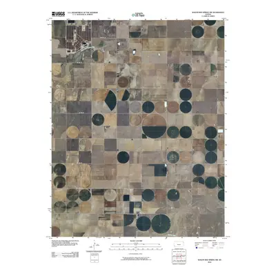 2010 Wagon Bed Spring NW2010 Print · USGSGrant County is captured in the early 21st century as a landscape of structured ranching and river drainage. Genealogists and local historians can locate the Golden Cemetery and trace the paths of the North Fork Cimarron River and Cimarron River.
 - 2010 Map of Woods NW, 2010 Print
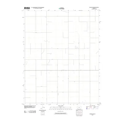 2010 Woods NW2010 Print · USGSStevens County is shown here at the start of the twenty-first century, defined by a rigid grid of agricultural section lines. Researchers can trace the rural infrastructure of the High Plains along State Hwy 51, Rd T, and Road S.
 - 2010 Map of Wagon Bed Spring, 2010 Print
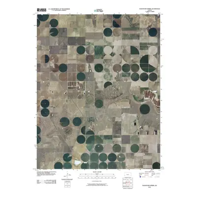 2010 Wagon Bed Spring2010 Print · USGSThe High Plains of Grant County are captured here in the early twenty-first century as the Cimarron River carves through the local farm grid. Genealogists can locate the Zionville Cemetery near S Wagonbed Springs Rd among the section-line roads.
 - 2010 Map of Wagon Bed Spring SW, 2010 Print
 2010 Wagon Bed Spring SW2010 Print · USGSStevens County agriculture and the High Plains landscape are documented here in the early 2000s. Genealogists and local historians can trace modern land divisions and rural homesteads along the Cimarron River and rural routes like Rd CC and Rd Z.
 - 2010 Map of Woods SW, 2010 Print
 2010 Woods SW2010 Print · USGSStevens County in the early 21st century remains a landscape of precise agricultural geometry and rural infrastructure. Genealogists and local historians can trace the specific property boundaries and farm access roads like Rd 23, Rd J, and Rd 19.
 - 2010 Map of Woods, 2010 Print
 2010 Woods2010 Print · USGSThe High Plains of southwest Kansas are captured here in the early twenty-first century, showcasing the region's structured agricultural grid. Researchers can trace the layout of local rural hubs like Woods and Pleasant Valley along corridors such as State Hwy 51 and Marteney.
 - 2010 Map of Moscow SE, 2010 Print
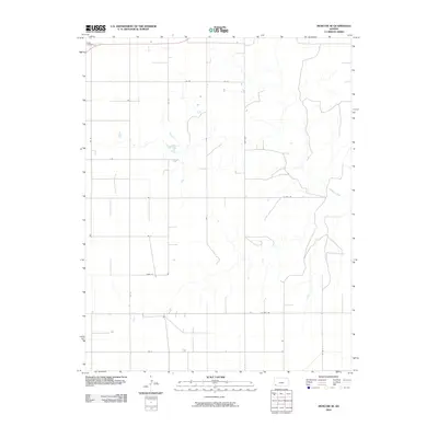 2010 Moscow SE2010 Print · USGSSeward County at the start of the 2010s reflects the enduring agricultural structure of the Kansas High Plains. Researchers can trace land divisions and local history through features like O'Dea Cemetery, the winding Cimarron River, and Marteney.
 - 2010 Map of Hugoton SW, 2010 Print
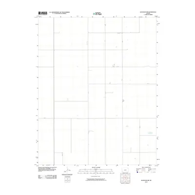 2010 Hugoton SW2010 Print · USGSStevens County is shown in the early twenty-first century as a landscape of remarkable geometric order. Trace the agricultural road network of the High Plains along routes such as Road E, Rd G, and Rd 7 as they cross the Kansas plains.
 - 2010 Map of Moscow, 2010 Print
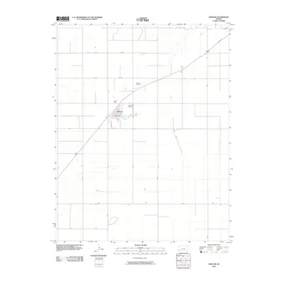 2010 Moscow2010 Print · USGSThe rural plains of Stevens County are captured here in 2010, centered on the grid-patterned settlement of Moscow. Genealogists and local historians can trace the town's perimeter, the Moscow Cemetery, and landmarks like Brollier Airport and the settlement of Cave.
 - 2010 Map of Wagon Bed Spring SE, 2010 Print
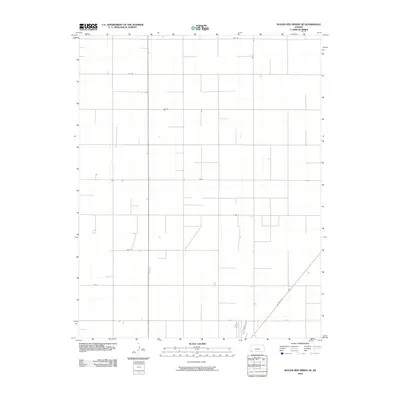 2010 Wagon Bed Spring SE2010 Print · USGSStevens County's agricultural grid remains remarkably consistent in this late-era survey of the High Plains. Genealogists and researchers can trace the precise layout of rural land parcels along US Hwy 56, Rd Cc, and Road W.
 - 2010 Map of Woods SE, 2010 Print
 2010 Woods SE2010 Print · USGSSeward County at the start of the 2010s reflects the enduring geometry of the high plains. Researchers can trace the rural property layout along Wide Awake Rd, Wettstein Rd, and the distinct path of Second Street Rd.
 - 2010 Map of Hooker NW, 2010 Print
 2010 Hooker NW2010 Print · USGSThe Oklahoma Panhandle's wide agricultural expanses are captured here at the start of the decade, showing the precise section-line grid that organizes Texas County. Researchers can trace the local transit network along Co Hwy D, N 1010 Rd, and Mile 44 Rd.
 - 2010 Map of Straight, 2010 Print
 2010 Straight2010 Print · USGSThis corner of the Oklahoma Panhandle near the Kansas border reveals a landscape of high-plains agriculture and section-line roads during the early 2000s. Researchers can locate the settlement of Straight and trace water features like Wild Horse Lake and Pony Creek.
 - 2010 Map of Straight NE, 2010 Print
 2010 Straight NE2010 Print · USGSTexas County's portion of the Oklahoma Panhandle is shown here in the early twenty-first century, revealing the absolute geometric grid of the region's agricultural landscape. Researchers can trace local travel and land divisions along Co Hwy D, Mile 40 Rd, and Co Rd 28.
 - 2010 Map of Tyrone, 2010 Print
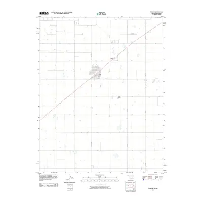 2010 Tyrone2010 Print · USGSTexas County, Oklahoma, is shown in the early twenty-first century as a landscape of structured ranch roads and quiet settlements. Genealogists and local historians can locate the Tyrone Cemetery and trace the development of Tyrone and Fluor along the diagonal rail corridor.
 - 2010 Map of Hough NE, 2010 Print
 2010 Hough NE2010 Print · USGSTexas County, Oklahoma, at the start of the 2010s shows the highly organized agricultural grid of the High Plains. Researchers can trace rural property access and water resources like Pony Creek and the Sturdivan Number 1 Reservoir.
 - 2011 Map of Rolla SE, 2011 Print
 2011 Rolla SE2011 Print · USGSMorton County's high plains are mapped here during the early twenty-first century, showing a landscape shaped by large-scale ranching. Trace the boundaries of the South East Rollo Pasture and follow the grid of County Rd-25 and J Blvd.
 - 2011 Map of Shore Airport SE, 2011 Print
 2011 Shore Airport SE2011 Print · USGSStevens County, Kansas, is shown at the turn of the decade as a region of expansive agricultural grids and winding prairie waterways. Researchers can locate the historic Dermot Cemetery or trace the paths of the Cimarron River and its North Fork.
 - 2011 Map of Rolla NE, 2011 Print
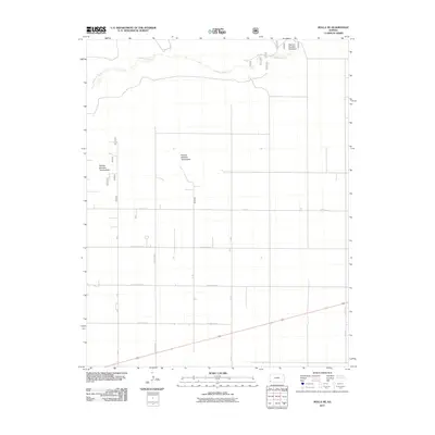 2011 Rolla NE2011 Print · USGSStevens County is documented here in the early 21st century, showing the intersection of the Cimarron River and the rural agricultural grid. Researchers can trace land management boundaries and cattle allotments like Pasture Number Fortyfour along County Road P.
Showing maps 1-25 of 125
Top cities of Stevens County
Frequently asked questions
- What are the different types of historical maps available for Stevens County?
- What is the oldest map of Stevens County?
- Where can I purchase historical maps of Stevens County for my home or office?
- Where can I download high-res historical maps of Stevens County?
- Are there historical topographic maps available for Stevens County?
- Is there historical aerial imagery available for Stevens County?
- Where are historical maps of Stevens County sourced from?