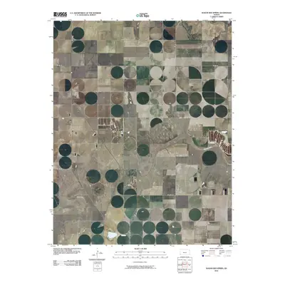
2010 Map of Wagon Bed Spring
USGS Topo · Published 2010About this map
The Cimarron River winds through this section of Grant County, creating a riparian corridor that breaks the geometric regularity of the surrounding agricultural landscape. This 2010 survey shows a region defined by an extensive grid of section-line roads, such as Co Rd 18 and Co Rd 19, which facilitate the move of cattle and crops across the high plains. A notable local landmark for genealogists and historians is the Zionville Cemetery, located just west of S Wagonbed Springs Rd. The map also captures the path of S Rd L and Co Rd 20, illustrating the modern infrastructure that connects these rural farmsteads. The lack of concentrated urban development highlights the area's continued reliance on large-scale land use near the historic river basin.
Find a feature on this map
17 named features on this map. Tap any name to fly to it.
Don’t see what you’re looking for? This feature index may not catch every label — zoom into the map to look around manually.
Map Details
Editions of this 2010 Wagon Bed Spring Map
This is the sole edition of this map. No revisions or reprints were ever made.
Other maps of this area

1891 · Larned
USGS Topo · 1:125,000

1900 · Lakin
USGS Topo · 1:125,000

1944 · Moscow
USGS Topo · 1:62,500

1945 · Moscow
USGS Topo · 1:62,500

1955 · Dodge City
USGS Topo · 1:250,000

1958 · Dodge City
USGS Topo · 1:250,000

1959 · Dodge City
USGS Topo · 1:250,000

1959 · Ulysses
USGS Topo · 1:24,000
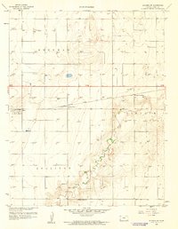
1959 · Ulysses SW
USGS Topo · 1:24,000

1959 · Hickok
USGS Topo · 1:24,000