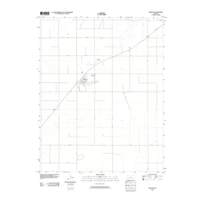
2010 Map of Moscow
USGS Topo · Published 2010About this map
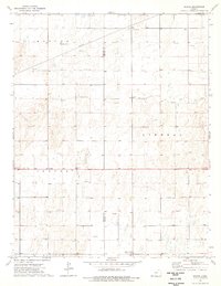
Moscow serves as the central hub of this Stevens County landscape, where the local grid is defined by a precision network of section roads like Rd Z and Rd 21. The town's layout is grounded by landmarks of community life, including the Moscow Cemetery and the local High School Rd. Connectivity to the broader region is maintained by the diagonal path of US Hwy 56, which cuts across the standard township-and-range lines, passing the small settlement of Cave in the northeast. Aviation also plays a role in this agrarian corridor, noted by the presence of Brollier Airport just east of the main townsite. The map reflects a modern era of rural planning where named roads like Mays Rd provide access to the vast agricultural plots that dominate the terrain.
Find a feature on this map
23 named features on this map. Tap any name to fly to it.
Don’t see what you’re looking for? This feature index may not catch every label — zoom into the map to look around manually.
Map Details
Editions of this 2010 Moscow Map
This is the sole edition of this map. No revisions or reprints were ever made.
Other maps of this area

1944 · Moscow
USGS Topo · 1:62,500

1945 · Moscow
USGS Topo · 1:62,500

1955 · Dodge City
USGS Topo · 1:250,000

1958 · Dodge City
USGS Topo · 1:250,000

1959 · Dodge City
USGS Topo · 1:250,000

1974 · Hugoton
USGS Topo · 1:24,000
1974 · Wagon Bed Spring
USGS Topo · 1:24,000
1974 · Moscow SE
USGS Topo · 1:24,000
1974 · Moscow
USGS Topo · 1:24,000
1974 · Woods
USGS Topo · 1:24,000