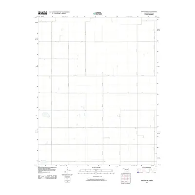
2010 Map of Straight NE
USGS Topo · Published 2010About this map
The High Plains of the Oklahoma Panhandle are defined here by a rigid, mile-square section grid that governs nearly every movement across the landscape. In this 2010 survey of Texas County, the arterial Co Hwy D serves as a primary east-west corridor, intersecting a series of north-south routes including Mile 40 Rd and Mile 42 Rd. The landscape is typical of the region's agricultural layout, where local transport relies on an alphabetized and numbered system such as E Rd, F Rd, and Co Rd 28. This map captures the geometric precision of the panhandle's rural infrastructure, illustrating how the township and range system dictated settlement patterns and land use in this part of the state.
Find a feature on this map
16 named features on this map. Tap any name to fly to it.
Don’t see what you’re looking for? This feature index may not catch every label — zoom into the map to look around manually.
Map Details
Editions of this 2010 Straight NE Map
This is the sole edition of this map. No revisions or reprints were ever made.
Other maps of this area

1954 · Perryton
USGS Topo · 1:250,000

1955 · Dodge City
USGS Topo · 1:250,000

1958 · Perryton
USGS Topo · 1:250,000

1958 · Dodge City
USGS Topo · 1:250,000

1959 · Dodge City
USGS Topo · 1:250,000

1967 · Straight
USGS Topo · 1:24,000

1967 · Straight NE
USGS Topo · 1:24,000

1967 · Straight SW
USGS Topo · 1:24,000

1967 · Optima
USGS Topo · 1:24,000

1967 · Hooker
USGS Topo · 1:24,000