Old Maps of Wallace Township, Kansas for Academic Research
Study the evolution of Wallace Township with 81 high-resolution historic maps. Whether you're teaching, researching, or modeling changes in land use, these maps provide essential visual documentation of urban, environmental, and geographic change.
- Analyze long-term change: Track patterns in development, transportation, and natural features.
- Ideal for environmental or urban studies: Support academic projects with primary historical map data.
- Use in the classroom or lab: Educators and researchers rely on these maps to bring historical context to life.
These maps are a powerful tool for teaching, research, and visualizing how Wallace Township has changed over the decades.
Wallace Township, KS maps
(81)- 1954 Map of Goodland, 1976 Print
 1954 Goodland1976 Print · USGSNorthwest Kansas comes into focus during the mid-1950s, showing a landscape defined by its vital river forks and thriving rail towns. Researchers can trace the path of the Union Pacific through Colby or locate historic parks like Sheridan Co State Park.
 - 1955 Map of Scott City, 1969 Print
 1955 Scott City1969 Print · USGSWestern Kansas in the mid-fifties is captured here as a landscape of rural schoolhouses and significant rail corridors. Family historians can trace the locations of Skyline and Beaver Creek Schools or follow the Union Pacific line through Oakley and Sharon Springs.4 unique versions available
 - 1956 Map of Goodland
 1956 Goodland1956 Print · USGSThe high plains of Northwest Kansas in the mid-fifties reveal a landscape of river-fed agriculture and expanding rail networks. Genealogists and historians can trace the development of county seats like Goodland and Atwood or locate landmarks such as the Arikaree Breaks.
 - 1957 Map of Goodland
 1957 Goodland1957 Print · USGSNorthwest Kansas in the mid-1950s shows a landscape of high plains agriculture and vital rail junctions. Researchers can trace the river-valley settlements from Goodland to Oberlin and follow the paths of the Union Pacific and Sappa Creek.2 unique versions available
 - 1958 Map of Scott City
 1958 Scott City1958 Print · USGSWestern Kansas at the peak of the post-war era reveals a landscape of high-plains agriculture and vital rail junctions. Genealogists and historians can trace old country school sites like Prairie Bell School, the landmark Chalk Pyramids, and small stops along the Union Pacific and Missouri Pacific.
 - 1959 Map of Wallace, 1960 Print
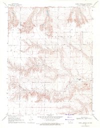
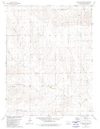
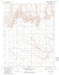
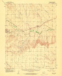 1959 Wallace1960 Print · USGSWallace County in the late fifties was defined by its railroad heritage and the deep drainage of the Smoky Hill River. You can trace the Union Pacific line from Sharon Springs to Wallace, locating landmarks like the Dinas Ch, Wallace Cem, and Big Lagoon.
 - 1959 Map of Harris Draw, 1960 Print
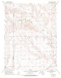
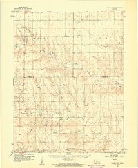 1959 Harris Draw1960 Print · USGSThe High Plains of Western Kansas are captured here during the late fifties, showing the rural landscape along the Sherman Co and Wallace Co border. Local historians can trace early community sites like Mound School, Mt Pleasant School, and the Mennonite Cemetery.
 - 1969 Map of Mc Allaster NW, 1971 Print
 1969 Mc Allaster NW1971 Print · USGSThe High Plains of western Kansas are captured here in the late sixties at the convergence of four counties. Genealogists and local researchers can trace the drainages of the South Fork Solomon River and Sand Creek near features like the spillway.
 - 1969 Map of Russell Springs 2 NW, 1971 Print
 1969 Russell Springs 2 NW1971 Print · USGSLogan County during the late sixties reveals a landscape shaped by historical westward travel and the transition to rail. Trace the legendary Butterfield Overland Trail past several Historical Markers along the Smoky Hill River.2 unique versions available
 - 1969 Map of Russell Springs 2 SW, 1971 Print
 1969 Russell Springs 2 SW1971 Print · USGSLogan and Wallace counties in the late sixties reveal a landscape defined by ranching life and intricate prairie drainage. Researchers can trace the intersection of early townships and locate landmarks like Little Eagle Ch and the prominent Twin Butte.2 unique versions available
 - 1969 Map of Mc Allaster, 1971 Print
 1969 Mc Allaster1971 Print · USGSThe High Plains of Logan County come to life in the late sixties, centered on the railroad siding of McAllaster. Researchers can trace the Union Pacific rail corridor and follow the winding North Fork Smoky Hill River past local Springs and a Marl Pit.2 unique versions available
 - 1979 Map of Wallace, 1980 Print
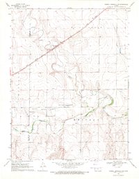
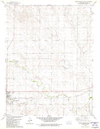
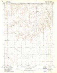
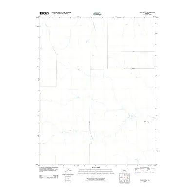
 1979 Wallace1980 Print · USGSThe High Plains around Wallace are shown here in the late seventies, a landscape deeply marked by its frontier history and rail-and-river geography. Researchers can locate the Butterfield Overland Trail, the Fort Wallace (Site), and the local Wallace Cem.
 - 1979 Map of Harris Draw NE, 1980 Print
 1979 Harris Draw NE1980 Print · USGSThe High Plains of Western Kansas are documented here in the late seventies as the terrain transitions between Sherman and Wallace counties. Genealogists and local historians can locate the Mennonite Cem and trace the winding course of the North Fork Smoky Hill River and Sand Creek.
 - 1979 Map of Harris Draw East, 1980 Print
 1979 Harris Draw East1980 Print · USGSWallace County in the late seventies is captured here as a landscape of intermittent water and working prairie. Genealogists and historians can trace family land across named landmarks like Bradshaw Draw, Lake Creek, and the local Marl Pits.
 - 1979 Map of Sharon Springs East, 1980 Print
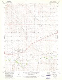
 1979 Sharon Springs East1980 Print · USGSSharon Springs and the High Plains come into sharp focus in the late seventies, centered on the railroad-and-river corridor. Researchers can trace the path of the Union Pacific through town or locate the Sharon Springs Cem and Gravel Pits along the Smoky Hill River.
 - 1979 Map of Wild Horse Draw, 1980 Print
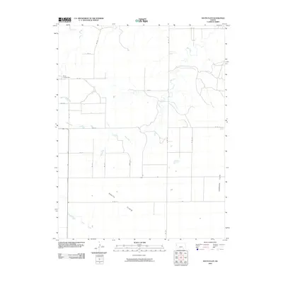
 1979 Wild Horse Draw1980 Print · USGSSherman and Wallace counties are shown in the late 1970s, focused on the high plains drainage systems. Researchers can trace the winding North Fork Smoky Hill River and locate historic land-use sites like the local Gravel Pits and Wild Horse Draw.
 - 1979 Map of Harris Draw West, 1980 Print
 1979 Harris Draw West1980 Print · USGSWallace County was a landscape of deep canyons and seasonal draws in the late seventies. Genealogists and historians can trace the paths of Blindman Canyon and Wildcat Canyon, or locate isolated landmarks like Big Spring and a lonely Grave.
 - 1979 Map of Harrison Flats, 1980 Print
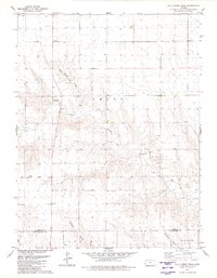
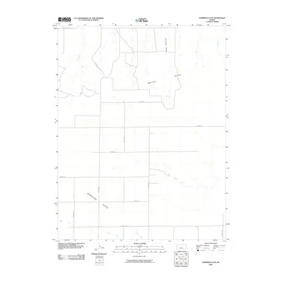
 1979 Harrison Flats1980 Print · USGSWallace County, Kansas, is documented here in the late seventies as a landscape of high plateaus and sudden breaks. Genealogists and local historians can locate the Harrison Flats Sch, Dinas Ch, and the rugged terrain of Wallace Bluffs.
 - 1979 Map of South Flats, 1980 Print
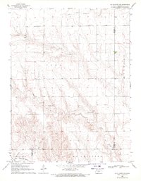
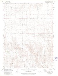
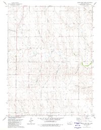
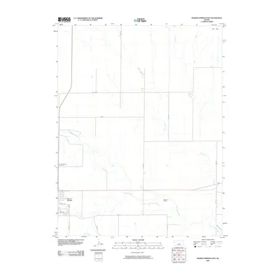
 1979 South Flats1980 Print · USGSWallace County, Kansas, is documented here in the late seventies during a period of steady agricultural use. Researchers can trace the section lines across South Flats or locate landmarks like the Walker Landing Strip and Rose Creek.
 - 1985 Map of Goodland
 1985 Goodland1985 Print · USGSSherman and Thomas counties appear in the mid-1980s as a vital transportation and agricultural corridor across the Kansas High Plains. Researchers can trace the rail-side growth of Ruleton, Edson, and Levant or locate landmarks like Colby Jr College and Soldiers Memorial County Park.2 unique versions available
 - 1985 Map of Sharon Springs
 1985 Sharon Springs1985 Print · USGSWestern Kansas at the mid-eighties reveals a landscape shaped by the Union Pacific and the historic Butterfield Overland Trail. Researchers can trace the frontier legacy of the Fort Wallace (site) and explore rural landmarks from Weskan to Russell Springs.2 unique versions available
 - 2009 Map of Twin Butte, 2009 Print
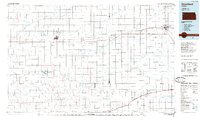
 2009 Twin Butte2009 Print · USGSCovers Wallace Township, including Harrison Township, Wallace County, and other nearby areas
 - 2009 Map of Sharon Springs East, 2009 Print
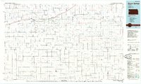
 2009 Sharon Springs East2009 Print · USGSCovers Wallace Township, including Sharon Springs, Sharon Springs Township, and other nearby areas
 - 2009 Map of South Flats, 2009 Print
 2009 South Flats2009 Print · USGSCovers Wallace Township, including Harrison Township, Sharon Springs Township, and other nearby areas
 - 2009 Map of Harrison Flats, 2009 Print
 2009 Harrison Flats2009 Print · USGSCovers Wallace Township, including Harrison Township, Wallace County, and other nearby areas
Showing maps 1-25 of 81
Top cities near Wallace Township
Top neighborhoods of Wallace Township
Frequently asked questions
- What are the different types of historical maps available for Wallace Township?
- What is the oldest map of Wallace Township?
- Where can I purchase historical maps of Wallace Township for my home or office?
- Where can I download high-res historical maps of Wallace Township?
- Are there historical topographic maps available for Wallace Township?
- Is there historical aerial imagery available for Wallace Township?
- Where are historical maps of Wallace Township sourced from?