2020s Maps of Bourbon County, Kentucky
Explore 13 historic maps of Bourbon County from the 2020s. These maps offer a rare glimpse into what life looked like during the 2020s — showing old roads, neighborhoods, homes, and landmarks that have changed or disappeared over time.
Whether you're researching your family's past, planning a metal detecting trip, or studying how Bourbon County's landscape evolved across the 2020s, these high-resolution maps are a powerful tool for exploring the history of this region.
- Focus on a specific era: All maps on this page are from the 2020s, giving you a focused view of this time period.
- See what’s changed: Compare century-old streets, trails, and buildings to today's modern landscape using overlays and satellite layers.
- Research with precision: Use these maps for genealogy, historical research, land use analysis, or educational projects.
- View, download, or print: Maps are fully viewable online in high resolution, and can be downloaded or printed for your own records.
Start exploring Bourbon County's history through authentic maps from the 2020s. This is your window into the past.
Bourbon County, KY maps
(13)- 2022 Map of Paris East, 2022 Print
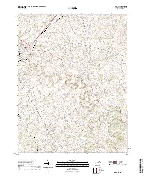 2022 Paris East2022 Print · USGSCentral Kentucky's bluegrass country unfolds across this 2022 survey of eastern Bourbon County. Genealogists can locate Clay Cem and the community of Escondida, or trace old family tracts like Winburn Farm along Stoner Creek.
 - 2022 Map of Lexington East, 2022 Print
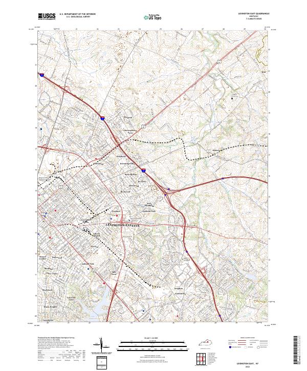 2022 Lexington East2022 Print · USGSLexington and its surrounding Fayette County countryside are shown here in the early twenty-first century. Researchers can trace the evolution of neighborhoods like Chevy Chase and Cadentown or locate historic landmarks such as Howards Grove Cem and Transylvania University.
 - 2022 Map of Centerville, 2022 Print
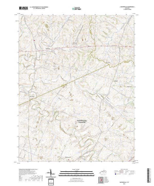 2022 Centerville2022 Print · USGSCentral Kentucky's rural horse country is mapped in detail during the early 2020s, showing the intersection of Scott, Bourbon, and Fayette Counties. Trace the small settlements of New Zion, Mattoxtown, and Jimtown along historic routes like Newtown Pike.
 - 2022 Map of Millersburg, 2022 Print
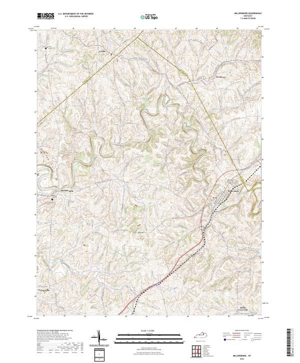 2022 Millersburg2022 Print · USGSBourbon County is shown here in the early 2020s, centered on the historic crossroads and waterways that shaped this Bluegrass landscape. Local researchers can trace family landmarks like Old East Broadwell Cem or the rural settlements at Ruddels Mills and Hooktown.
 - 2022 Map of Shawhan, 2022 Print
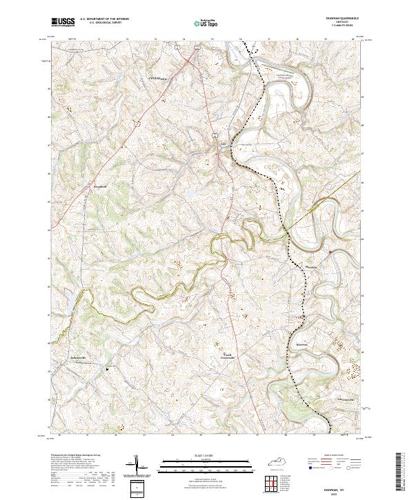 2022 Shawhan2022 Print · USGSHarrison and Bourbon counties meet along the winding watercourses of the Bluegrass region in the early 2020s. Genealogists and local historians can trace family-named sites and rural centers like Lair, Shawhan, and Ewalt Crossroads near the banks of Stoner Creek.
 - 2022 Map of Sharpsburg, 2022 Print
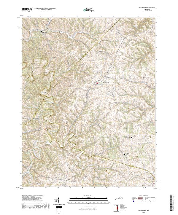 2022 Sharpsburg2022 Print · USGSThe rolling landscape of Bath and Nicholas counties comes alive in this contemporary survey of the region. Researchers can trace ancestral sites across several family burial grounds like Carter Cem and Lane Cem, or locate landmarks such as Peytons Lick Church.
 - 2022 Map of North Middletown, 2022 Print
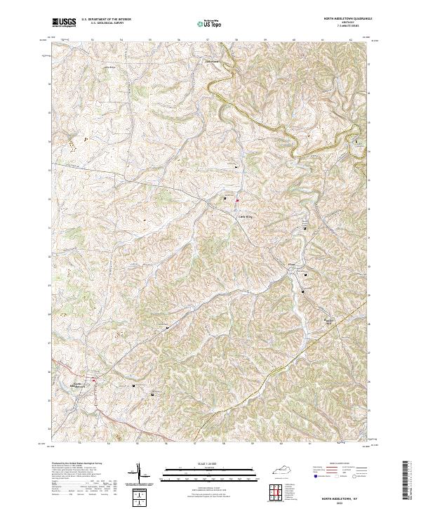 2022 North Middletown2022 Print · USGSBourbon County in the early 2020s remains a landscape of rolling ridges and deep family history, centered on the historic town of North Middletown. Researchers can locate several family cemeteries and landmarks, including the Edward Boone Grave and the Hayden Young Cem.
 - 2022 Map of Paris West, 2022 Print
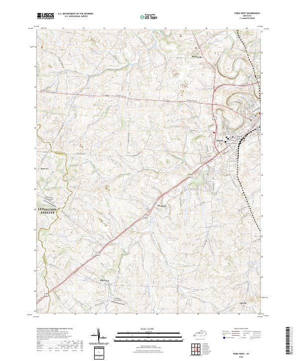 2022 Paris West2022 Print · USGSThe rolling horse country of Bourbon County is captured here in the early 2020s, centered on the community of Paris. Genealogists and local historians can trace burial sites like Mount Olivet Catholic Cemetery or locate rural hubs like Jimtown and Hutchison.
 - 2022 Map of Clintonville, 2022 Print
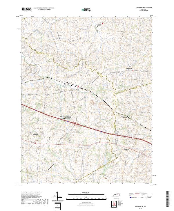 2022 Clintonville2022 Print · USGSThe borderlands of Fayette and Bourbon counties are captured here in the early twenty-first century, showing a landscape of deep-rooted rural communities. Local researchers can trace the roads and homesteads around Clintonville, Chilesburg, and the historic Coal Field terrain.
 - 2022 Map of Carlisle, 2022 Print
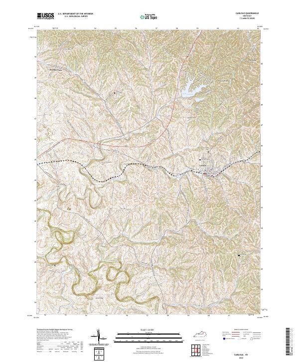 2022 Carlisle2022 Print · USGSNicholas County comes into focus in this contemporary study of its rolling bluegrass landscape and historic county seat. Genealogists can trace family landmarks like Stoker Cem, the Nicholas County Courthouse, and the rural community of Cane Ridge.
 - 2022 Map of Leesburg, 2022 Print
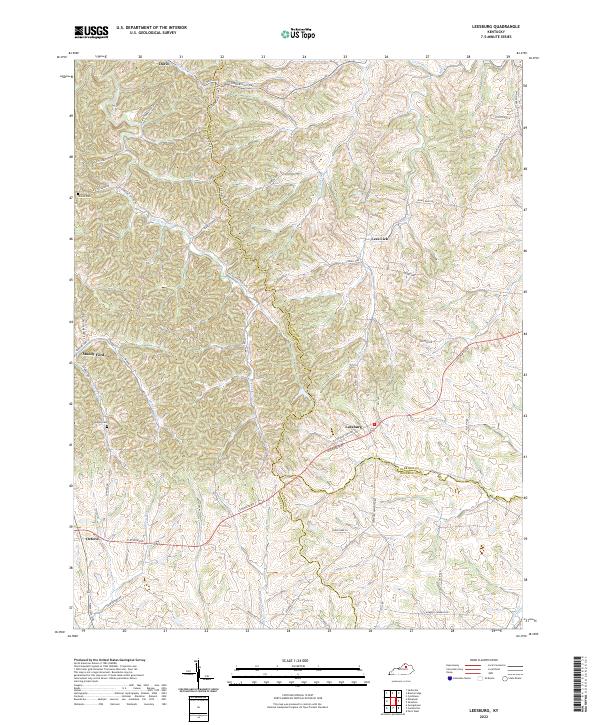 2022 Leesburg2022 Print · USGSThe Kentucky Bluegrass region near the borders of Scott and Harrison counties is shown here as it appears today, preserving many of its historic roads and watercourses. Genealogists and local historians can trace family roots at Hinton Cem and Sharon Cem or explore early settlements like Leesburg and Oxford.
 - 2022 Map of Sideview, 2022 Print
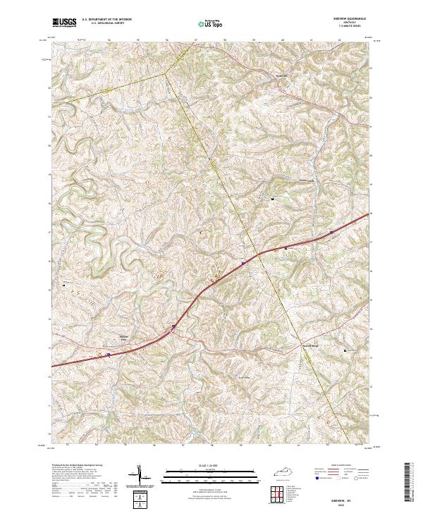 2022 Sideview2022 Print · USGSThe tri-county border of Bourbon, Clark, and Montgomery Counties is shown here in the 2020s, featuring a landscape of winding pikes and rural crossroads. Local historians can trace family roots at Greene Cem and French Cem or explore the settlements of Sideview and Sewell Shop.
 - 2022 Map of Austerlitz, 2022 Print
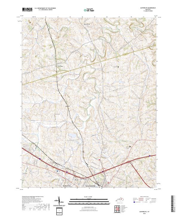 2022 Austerlitz2022 Print · USGSNorth of WINCHESTER, this modern survey shows the central Kentucky landscape where the suburbs meet the rolling horse country. Genealogists and local historians can trace family properties near Austerlitz or locate burials at the Gist Family Cem.
End of results
Showing maps 1-13 of 13
Top cities of Bourbon County
Frequently asked questions
- What are the different types of historical maps available for Bourbon County?
- What is the oldest map of Bourbon County?
- Where can I purchase historical maps of Bourbon County for my home or office?
- Where can I download high-res historical maps of Bourbon County?
- Are there historical topographic maps available for Bourbon County?
- Is there historical aerial imagery available for Bourbon County?
- Where are historical maps of Bourbon County sourced from?