2010s Maps of Breathitt County, Kentucky
Explore 80 historic maps of Breathitt County from the 2010s. These maps offer a rare glimpse into what life looked like during the 2010s — showing old roads, neighborhoods, homes, and landmarks that have changed or disappeared over time.
Whether you're researching your family's past, planning a metal detecting trip, or studying how Breathitt County's landscape evolved across the 2010s, these high-resolution maps are a powerful tool for exploring the history of this region.
- Focus on a specific era: All maps on this page are from the 2010s, giving you a focused view of this time period.
- See what’s changed: Compare century-old streets, trails, and buildings to today's modern landscape using overlays and satellite layers.
- Research with precision: Use these maps for genealogy, historical research, land use analysis, or educational projects.
- View, download, or print: Maps are fully viewable online in high resolution, and can be downloaded or printed for your own records.
Start exploring Breathitt County's history through authentic maps from the 2010s. This is your window into the past.
Breathitt County, KY maps
(80)- 2010 Map of Tiptop, 2010 Print
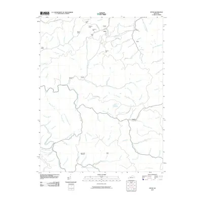 2010 Tiptop2010 Print · USGSThe Magoffin County highlands in the early twenty-first century are defined by isolated settlements and a dense network of mountain branches. Researchers can locate family burial sites like John Bailey Cemetery and trace terrain landmarks including Big Lovely Mountain and Indian Grave.
 - 2010 Map of Quicksand, 2010 Print
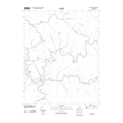 2010 Quicksand2010 Print · USGSThe North Fork Kentucky River and Quicksand Creek wind through Breathitt County in the early twenty-first century. Genealogists can trace family heritage through the Bach, Williams, and Snowden cemeteries near the U.K. Experimental Farm.
 - 2010 Map of David, 2010 Print
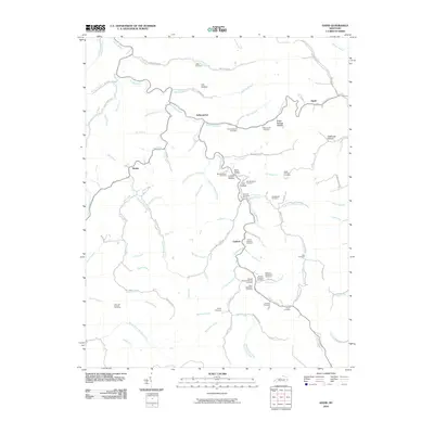 2010 David2010 Print · USGSMagoffin County settlements and family hollows along the Licking River are documented here in the early twenty-first century. Genealogists can trace family lineage across dozens of named sites, including the John B Shepard Cemetery, Arthurmabel, and Lovely Hollow.
 - 2010 Map of Jackson, 2010 Print
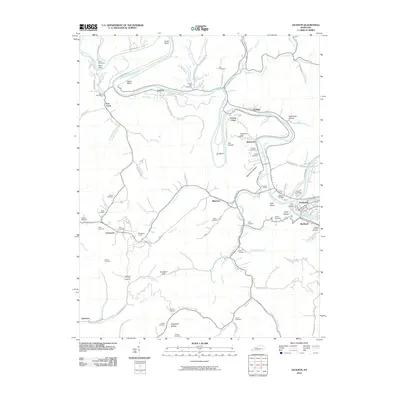 2010 Jackson2010 Print · USGSBreathitt County’s rugged river bends and mountain hollows are documented here during the early twenty-first century. Genealogists and local historians can trace family land via numerous burial sites like Gabbard Flat Cemetery or explore landmarks like Panbowl Lake and the Chenowee Tunnel.
 - 2010 Map of Handshoe, 2010 Print
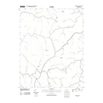 2010 Handshoe2010 Print · USGSKnott County, Kentucky, is shown here in the early twenty-first century, featuring a landscape of steep ridges and creek-bottom communities. Researchers can trace family roots at the Bolen Cemetery or locate landmarks like the Signal Knob Lookout Tower and Soft Shell.
 - 2010 Map of Noble, 2010 Print
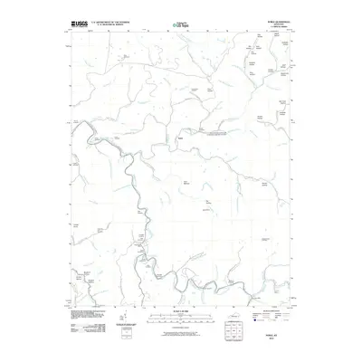 2010 Noble2010 Print · USGSBreathitt County's hollows and creek beds are mapped in detail here during the early twenty-first century. Genealogists and local historians can locate dozens of family burial sites like Napier Cemeteries and early community hubs such as Noble and the Rowdy Post Office.
 - 2010 Map of Tallega, 2010 Print
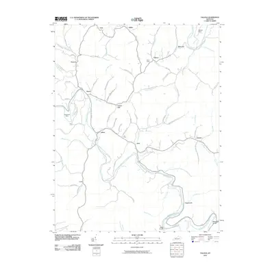 2010 Tallega2010 Print · USGSBreathitt County's river valleys and ridgelines are documented here in the early twenty-first century. Genealogists and historians can trace old homesteads and landmarks like Mill Branch School, Tyler Tunnel, and the community of Athol.
 - 2010 Map of Guage, 2010 Print
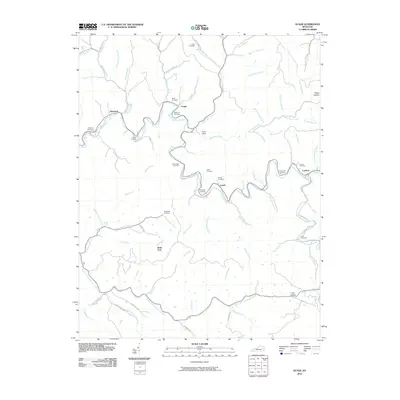 2010 Guage2010 Print · USGSEastern Kentucky's creek-valley communities are well-documented here in the early twenty-first century. Genealogists can trace family heritage through numerous burial sites like McQuinn Cemetery and Shack Allen Cemetery near Guage and Lunah.
 - 2010 Map of Landsaw, 2010 Print
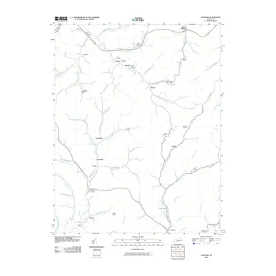 2010 Landsaw2010 Print · USGSBreathitt County in the early twenty-first century remains a landscape of deep hollows and family-named creeks. Genealogists can locate ancestral sites at the Centers-Rose Cemetery, Bethany Post Office, or the small settlement of Hollonville.
 - 2010 Map of Haddix, 2010 Print
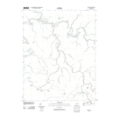 2010 Haddix2010 Print · USGSBreathitt County’s creek-cut terrain is captured here in the early twenty-first century, showing the community clusters along the North Fork Kentucky River. Genealogists can locate family burial sites like McIntosh Cemeteries and Haddix Cemetery, or trace the winding course of Troublesome Creek through Clayhole.
 - 2010 Map of Vest, 2010 Print
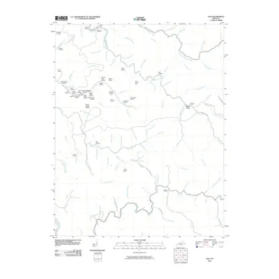 2010 Vest2010 Print · USGSKnott County, Kentucky, is shown here as it appeared in 2010, centered on the complex ridges and valley floors surrounding Decoy. Genealogists and local historians can trace family land near Whitt Howard Cemetery, Baker Camp, and along the banks of Balls Fork.
 - 2010 Map of Lee City, 2010 Print
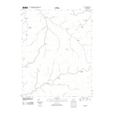 2010 Lee City2010 Print · USGSWolfe County in the early twenty-first century remains defined by its winding river valleys and rural hamlets. Local historians can trace family ties at the Field Branch Cemetery and Elam Cemetery or locate the site of the Ezel Lookout Tower.
 - 2010 Map of Seitz, 2010 Print
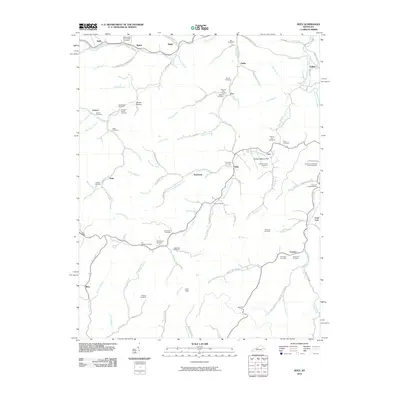 2010 Seitz2010 Print · USGSBreathitt County in the early twenty-first century remains a landscape of tightly-knit valley communities and winding waterways. Genealogists can trace deep family roots through numerous local sites like the William Big Bill Patriotic Cemetery and Clay Arnett Cemetery.
 - 2010 Map of Salyersville South, 2010 Print
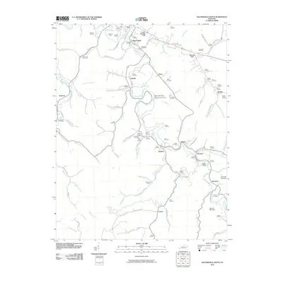 2010 Salyersville South2010 Print · USGSMagoffin County settlements are established along the winding Licking River and its tributary hollows in this late-era survey. Genealogists and local historians can trace numerous family-named sites, including Gardners Farm, Royalton, and the Thurman Dyer Cemetery.
 - 2011 Map of Krypton, 2011 Print
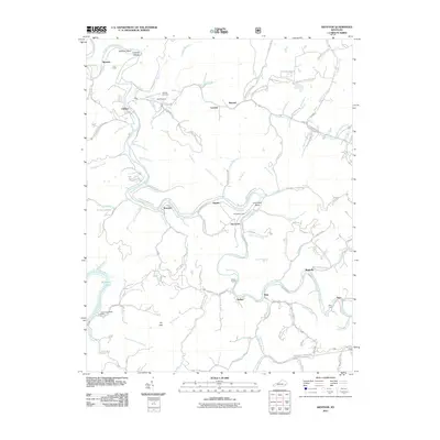 2011 Krypton2011 Print · USGSThe North Fork of the Kentucky River winds through Perry County in this 2010s survey, connecting the river towns of Krypton and Chavies. Researchers can trace old transportation routes and industrial infrastructure through landmarks like Yerkes Tunnel and Duff Airport.
 - 2011 Map of Mistletoe, 2011 Print
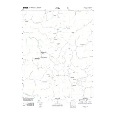 2011 Mistletoe2011 Print · USGSThe Mistletoe area of Breathitt County is shown here in the early twenty-first century, centered on its historic neighborhoods and post offices. Researchers can trace family sites near Horn Hill Cemetery, the Cherry Tree Lookout Tower, or the small community of Whoopflarea.
 - 2011 Map of Cowcreek, 2011 Print
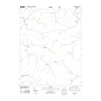 2011 Cowcreek2011 Print · USGSBreathitt County’s creek-side communities are documented here in the early twenty-first century, showing the enduring settlement patterns of the Kentucky hills. Researchers can trace family lines through numerous sites like Noble Cemetery and the Cowcreek Post Office.
 - 2011 Map of Canoe, 2011 Print
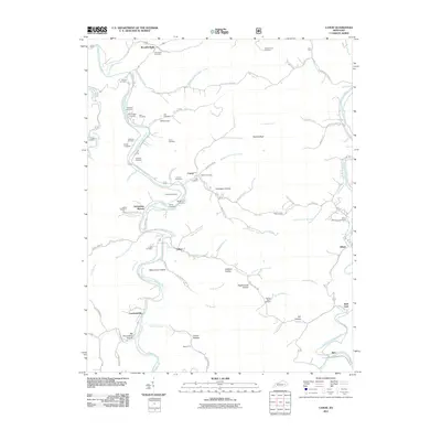 2011 Canoe2011 Print · USGSBreathitt County’s winding river valleys are captured here in the early twenty-first century, showing a landscape defined by its forks and hollows. Researchers can locate dozens of family burial sites like Hounshell Cemetery and historic stops like Curt P O or Crockettsville.
 - 2011 Map of Buckhorn, 2011 Print
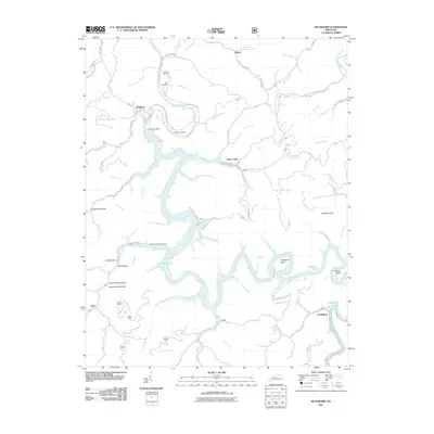 2011 Buckhorn2011 Print · USGSBuckhorn and the Middle Fork Kentucky River are shown here following the modern development of the reservoir system. Researchers can trace family burial grounds like Aims Cemetery or find historic river settlements at Gays Creek and Confluence.
 - 2011 Map of Campton, 2011 Print
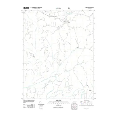 2011 Campton2011 Print · USGSWolfe County at the start of the 2010s reveals a landscape of isolated ridges and traditional river valley settlements. Genealogists can trace family landmarks like Evans Cemetery and Cable Cemetery or the rural roads connecting Vortex and Antioch.
 - 2013 Map of Tallega, 2013 Print
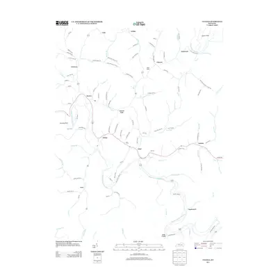 2013 Tallega2013 Print · USGSBreathitt County's winding river valleys and hollows are documented here during the early twenty-first century. Genealogists and local historians can trace family-named roads and rural settlements from Tallega and Athol to the Oakdale Cem.
 - 2013 Map of Mistletoe, 2013 Print
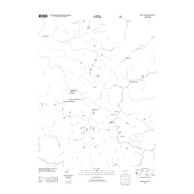 2013 Mistletoe2013 Print · USGSBreathitt County's isolated hollows and community clusters are mapped here in the early twenty-first century. Researchers can trace family roots through several graveyards like Loose Angel Cem and settlements like Mistletoe or Whoopflarea.
 - 2013 Map of Noble, 2013 Print
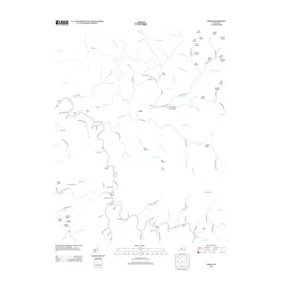 2013 Noble2013 Print · USGSThis part of Breathitt County is shown in the early 2010s as a landscape of isolated hollows and riverside communities. Genealogists can locate family landmarks like the Noble Cemeteries, Haddix Cem, and the specialized Camp Robinson University of Kentucky Engineering Camp.
 - 2013 Map of Haddix, 2013 Print
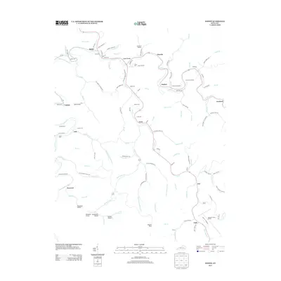 2013 Haddix2013 Print · USGSBreathitt County in the early twenty-first century remains a landscape defined by its deep hollers and winding river branches. Genealogists can trace family heritage through local burial sites like McIntosh Cemeteries and Thorpe Cem or old settlements such as Clayhole and Roosevelt.
 - 2013 Map of Guage, 2013 Print
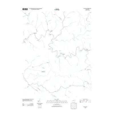 2013 Guage2013 Print · USGSBreathitt County's winding creek valleys and family settlements are captured here in the early 2000s. Researchers can trace numerous local burial sites like Shack Allen Cemetery and follow the rural roads connecting Lambric, Guage, and Rousseau.
Showing maps 1-25 of 80
Top cities of Breathitt County
Frequently asked questions
- What are the different types of historical maps available for Breathitt County?
- What is the oldest map of Breathitt County?
- Where can I purchase historical maps of Breathitt County for my home or office?
- Where can I download high-res historical maps of Breathitt County?
- Are there historical topographic maps available for Breathitt County?
- Is there historical aerial imagery available for Breathitt County?
- Where are historical maps of Breathitt County sourced from?