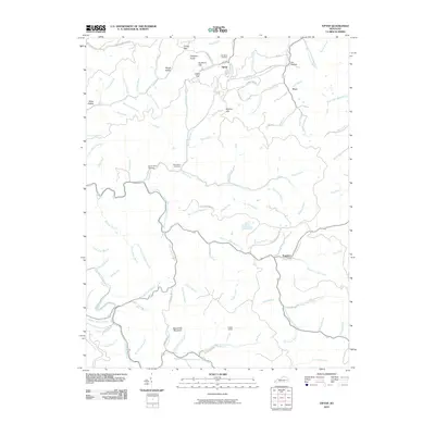
2010 Map of Tiptop
USGS Topo · Published 2010About this map
Big Lovely Mountain and Hogtown Knob dominate the high ground of this Magoffin County landscape, where deep hollows and narrow branches define the movement of water and people. The small settlements of Tiptop, Evanston, and Duco serve as central points within a complex web of drainage including Big Caney Creek and Coles Fork. The geography is marked by numerous gaps and hollows, such as Buckhorn Gap and Rough Hollow, which have historically dictated the placement of local roads like Allentown Rd.
Find a feature on this map
101 named features on this map. Tap any name to fly to it.
Don’t see what you’re looking for? This feature index may not catch every label — zoom into the map to look around manually.
Map Details
Editions of this 2010 Tiptop Map
This is the sole edition of this map. No revisions or reprints were ever made.
Other maps of this area

1886 · Prestonsburg
USGS Topo · 1:125,000

1889 · Salyersville
USGS Topo · 1:125,000

1890 · Whitesburg
USGS Topo · 1:125,000

1891 · Hazard
USGS Topo · 1:125,000

1891 · Salyersville
USGS Topo · 1:125,000

1892 · Whitesburg
USGS Topo · 1:125,000

1892 · Prestonsburg
USGS Topo · 1:125,000

1899 · Salyersville
USGS Topo · 1:125,000

1912 · Hindman
USGS Topo · 1:48,000

1914 · Troublesome
USGS Topo · 1:62,500